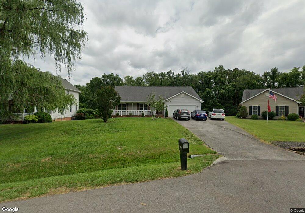
5869 Buckland Mill Rd Roanoke, VA 24019
Estimated Value: $406,921 - $454,000
3
Beds
2
Baths
1,877
Sq Ft
$228/Sq Ft
Est. Value
About This Home
This home is located at 5869 Buckland Mill Rd, Roanoke, VA 24019 and is currently estimated at $427,730, approximately $227 per square foot. 5869 Buckland Mill Rd is a home located in Roanoke County with nearby schools including Burlington Elementary School, Northside Middle School, and Northside High School.
Ownership History
Date
Name
Owned For
Owner Type
Purchase Details
Closed on
Jun 25, 2007
Sold by
Ray David T and Ray Kathryne H
Bought by
Carlisle Todd A and Carlisle Laurie A
Current Estimated Value
Home Financials for this Owner
Home Financials are based on the most recent Mortgage that was taken out on this home.
Original Mortgage
$25,000
Interest Rate
6.24%
Mortgage Type
New Conventional
Create a Home Valuation Report for This Property
The Home Valuation Report is an in-depth analysis detailing your home's value as well as a comparison with similar homes in the area
Home Values in the Area
Average Home Value in this Area
Purchase History
| Date | Buyer | Sale Price | Title Company |
|---|---|---|---|
| Carlisle Todd A | $250,000 | None Available |
Source: Public Records
Mortgage History
| Date | Status | Borrower | Loan Amount |
|---|---|---|---|
| Closed | Carlisle Todd A | $25,000 |
Source: Public Records
Tax History Compared to Growth
Tax History
| Year | Tax Paid | Tax Assessment Tax Assessment Total Assessment is a certain percentage of the fair market value that is determined by local assessors to be the total taxable value of land and additions on the property. | Land | Improvement |
|---|---|---|---|---|
| 2025 | $3,979 | $386,300 | $67,000 | $319,300 |
| 2024 | $3,717 | $357,400 | $67,000 | $290,400 |
| 2023 | $3,197 | $301,600 | $57,000 | $244,600 |
| 2022 | $2,926 | $268,400 | $47,000 | $221,400 |
| 2021 | $2,770 | $254,100 | $42,000 | $212,100 |
| 2020 | $2,746 | $251,900 | $42,000 | $209,900 |
| 2019 | $2,677 | $245,600 | $38,000 | $207,600 |
| 2018 | $2,531 | $236,500 | $36,000 | $200,500 |
| 2017 | $2,531 | $232,200 | $36,000 | $196,200 |
| 2016 | $2,406 | $220,700 | $36,000 | $184,700 |
| 2015 | $2,402 | $220,400 | $36,000 | $184,400 |
| 2014 | $2,406 | $220,700 | $36,000 | $184,700 |
Source: Public Records
Map
Nearby Homes
- 5877 Buckland Mill Rd
- 8356 Leighburn Dr
- 8355 Leighburn Dr
- 5921 Buckland Mill Rd
- 3190 Loch Haven Dr
- 7044 Irondale Cir
- 8216 Strathmore Ln
- 8212 Loman Dr
- 1141 Starmount Ave
- 6510 Brookfield Rd
- 7204 Snowberry Cir
- 7522 New Barrens Ct
- 1121 Nover Ave
- 7171 Wild Cherry Ct
- 6928 Scotch Pine Ln
- 7009 Tinkerdale Rd
- 7130 Crosstimbers Trail
- 6825 Woodcreeper Dr
- 7214 Crosstimbers Trail
- 6854 Autumn Wood Ln
- 5873 Buckland Mill Rd
- 5865 Buckland Mill Rd
- 8545 Barrens Rd
- 5861 Buckland Mill Rd
- 5881 Buckland Mill Rd
- 5864 Buckland Mill Rd
- 5860 Buckland Mill Rd
- 5872 Buckland Mill Rd
- 5868 Buckland Mill Rd
- 6426 N Barrens Rd
- 5885 Buckland Mill Rd
- 5876 Buckland Mill Rd
- 5880 Buckland Mill Rd
- 8396 Leighburn Dr
- 8443 Belle Haven Rd
- 5893 Buckland Mill Rd
- 5884 Buckland Mill Rd
- 6438 Garrett Ln
- 6439 Garrett Ln
- 8386 Leighburn Dr