Estimated Value: $342,000 - $433,000
--
Bed
--
Bath
--
Sq Ft
5
Acres
About This Home
This home is located at 5869 N 6000 W, Delta, UT 84624 and is currently estimated at $377,093. 5869 N 6000 W is a home.
Ownership History
Date
Name
Owned For
Owner Type
Purchase Details
Closed on
Jul 17, 2009
Sold by
Rowlette Kyle M
Bought by
Rowlette Kyle M and Rowlette Miranda
Current Estimated Value
Home Financials for this Owner
Home Financials are based on the most recent Mortgage that was taken out on this home.
Original Mortgage
$130,500
Outstanding Balance
$84,824
Interest Rate
5.31%
Mortgage Type
New Conventional
Estimated Equity
$292,269
Purchase Details
Closed on
Nov 30, 2007
Sold by
Rowlette Kyle M
Bought by
Rowlette Kyle M and Rowlette Miranda
Home Financials for this Owner
Home Financials are based on the most recent Mortgage that was taken out on this home.
Original Mortgage
$107,500
Interest Rate
6.26%
Mortgage Type
Construction
Purchase Details
Closed on
Aug 10, 2006
Sold by
Rowlette John H
Bought by
Rowlette Kyle and Rowlette Miranda
Create a Home Valuation Report for This Property
The Home Valuation Report is an in-depth analysis detailing your home's value as well as a comparison with similar homes in the area
Home Values in the Area
Average Home Value in this Area
Purchase History
| Date | Buyer | Sale Price | Title Company |
|---|---|---|---|
| Rowlette Kyle M | -- | -- | |
| Rowlette Kyle M | -- | -- | |
| Rowlette Kyle M | -- | -- | |
| Rowlette Kyle M | -- | -- | |
| Rowlette Kyle | -- | -- | |
| Rowlette John H | -- | -- |
Source: Public Records
Mortgage History
| Date | Status | Borrower | Loan Amount |
|---|---|---|---|
| Open | Rowlette Kyle M | $130,500 | |
| Closed | Rowlette Kyle M | $130,500 | |
| Previous Owner | Rowlette Kyle M | $107,500 |
Source: Public Records
Tax History Compared to Growth
Tax History
| Year | Tax Paid | Tax Assessment Tax Assessment Total Assessment is a certain percentage of the fair market value that is determined by local assessors to be the total taxable value of land and additions on the property. | Land | Improvement |
|---|---|---|---|---|
| 2025 | $1,338 | $164,809 | $22,450 | $142,359 |
| 2024 | $1,338 | $171,755 | $17,523 | $154,232 |
| 2023 | $2,201 | $171,755 | $17,523 | $154,232 |
| 2022 | $1,121 | $98,766 | $14,100 | $84,666 |
| 2021 | $875 | $74,242 | $14,100 | $60,142 |
| 2020 | $844 | $72,490 | $14,100 | $58,390 |
| 2019 | $836 | $72,490 | $14,100 | $58,390 |
| 2018 | $822 | $73,184 | $14,100 | $59,084 |
| 2017 | $821 | $69,884 | $10,800 | $59,084 |
| 2016 | $784 | $69,884 | $10,800 | $59,084 |
| 2015 | $785 | $69,884 | $10,800 | $59,084 |
| 2014 | -- | $69,884 | $10,800 | $59,084 |
| 2013 | -- | $62,718 | $10,800 | $51,918 |
Source: Public Records
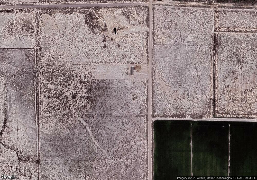
Map
Nearby Homes
- 4340 W 5000 N
- 7525 N 4250 W
- 8009 N 4000 W
- Tbd W 5500 N
- 5000 W 9500 N
- 700 Acres
- 1500 S 10000 W
- 6000 N 10000 W
- 700 Acres Hwy 6 & Main St (Hwy 50)
- 2000 E 10500 N
- 6200 S 3000 W
- 830 W 75 S Unit 5
- 34 S 900 W
- 9000 W 1500 Rd N
- 1025 N Main St
- 98 W 1000 N
- 168 N 100 Rd W
- Tbd Hwy 6 50 Unit LotWP001
- 1040 W Center St
- 451 W 300 N