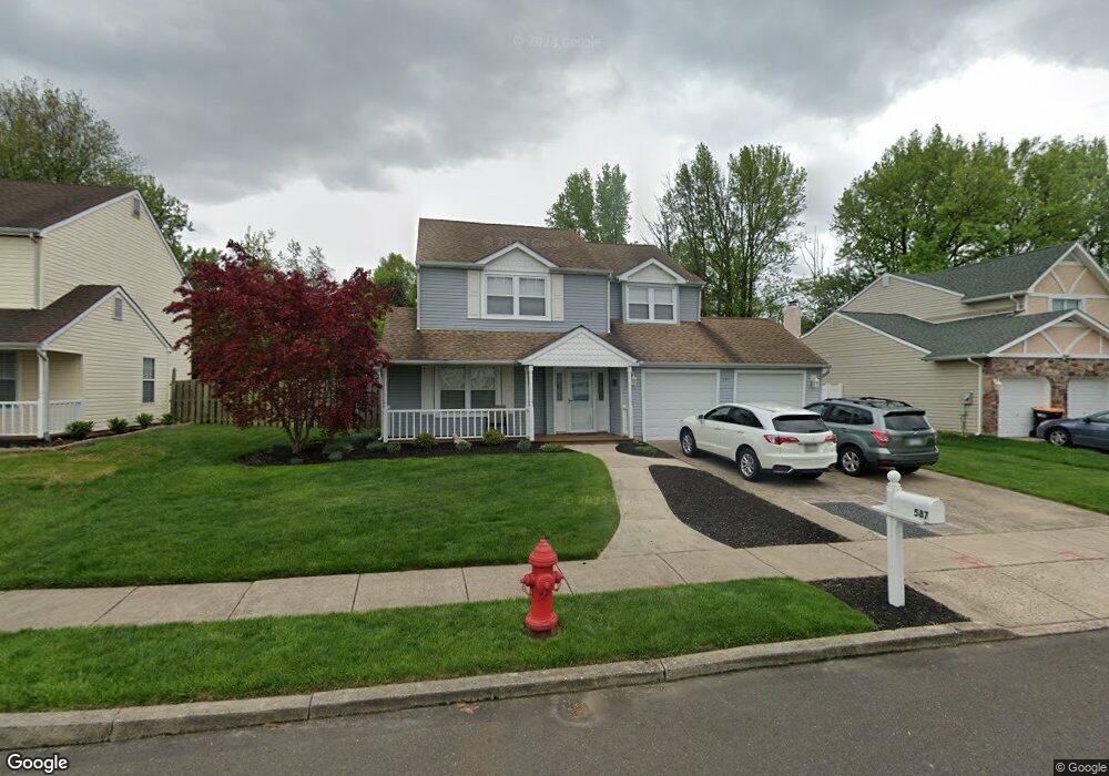
587 Buck Dr Fairless Hills, PA 19030
Estimated Value: $515,000 - $620,000
--
Bed
3
Baths
2,616
Sq Ft
$212/Sq Ft
Est. Value
About This Home
This home is located at 587 Buck Dr, Fairless Hills, PA 19030 and is currently estimated at $555,467, approximately $212 per square foot. 587 Buck Dr is a home located in Bucks County with nearby schools including Truman Senior High School, The Pen Ryn School, and Faith Baptist Christian Academy.
Ownership History
Date
Name
Owned For
Owner Type
Purchase Details
Closed on
Oct 31, 2005
Sold by
Smith Glen R and Smith Linda M
Bought by
Scullion Terence S and Scullion Maureen
Current Estimated Value
Home Financials for this Owner
Home Financials are based on the most recent Mortgage that was taken out on this home.
Original Mortgage
$295,920
Outstanding Balance
$162,338
Interest Rate
6.06%
Mortgage Type
Fannie Mae Freddie Mac
Estimated Equity
$393,129
Purchase Details
Closed on
Mar 9, 1987
Bought by
Smith Glen R and Smith Linda M
Create a Home Valuation Report for This Property
The Home Valuation Report is an in-depth analysis detailing your home's value as well as a comparison with similar homes in the area
Home Values in the Area
Average Home Value in this Area
Purchase History
| Date | Buyer | Sale Price | Title Company |
|---|---|---|---|
| Scullion Terence S | $369,900 | None Available | |
| Smith Glen R | $112,300 | -- |
Source: Public Records
Mortgage History
| Date | Status | Borrower | Loan Amount |
|---|---|---|---|
| Open | Scullion Terence S | $295,920 |
Source: Public Records
Tax History Compared to Growth
Tax History
| Year | Tax Paid | Tax Assessment Tax Assessment Total Assessment is a certain percentage of the fair market value that is determined by local assessors to be the total taxable value of land and additions on the property. | Land | Improvement |
|---|---|---|---|---|
| 2025 | $7,854 | $28,920 | $5,560 | $23,360 |
| 2024 | $7,854 | $28,920 | $5,560 | $23,360 |
| 2023 | $7,796 | $28,920 | $5,560 | $23,360 |
| 2022 | $7,796 | $28,920 | $5,560 | $23,360 |
| 2021 | $7,796 | $28,920 | $5,560 | $23,360 |
| 2020 | $7,796 | $28,920 | $5,560 | $23,360 |
| 2019 | $7,767 | $28,920 | $5,560 | $23,360 |
| 2018 | $7,642 | $28,920 | $5,560 | $23,360 |
| 2017 | $7,526 | $28,920 | $5,560 | $23,360 |
| 2016 | $7,526 | $28,920 | $5,560 | $23,360 |
| 2015 | $5,562 | $28,920 | $5,560 | $23,360 |
| 2014 | $5,562 | $28,920 | $5,560 | $23,360 |
Source: Public Records
Map
Nearby Homes
- 525 Nel Dr
- 657 S Queen Anne Dr
- 243 Wyandotte Rd
- 340 Appletree Dr
- 524 Ehret Rd
- 225 Yorkshire Rd Unit HIII
- 208 Suffolk Rd
- 513 Valmore Rd Unit L
- 14 Appletree Dr
- 20 Appletree Dr
- 50 Autumn Ln
- 9 Mulberry Ln
- 508 Fairhurst Rd
- 331 Doone Place
- 402 Stanford Rd
- 479 Stanford Rd
- 28 Rainbow Ln
- 417 Chelsea Rd
- 713 Warwick Rd
- 248 N Oxford Valley Rd