587 Hidden Lakes Rd Warm Springs, GA 31830
Estimated Value: $455,848 - $507,000
3
Beds
3
Baths
3,432
Sq Ft
$138/Sq Ft
Est. Value
About This Home
This home is located at 587 Hidden Lakes Rd, Warm Springs, GA 31830 and is currently estimated at $473,616, approximately $138 per square foot. 587 Hidden Lakes Rd is a home with nearby schools including Mountain View Elementary School, Manchester Middle School, and Manchester High School.
Ownership History
Date
Name
Owned For
Owner Type
Purchase Details
Closed on
Feb 27, 2004
Sold by
Greene Phillip L Kay
Bought by
Houston Rusti A
Current Estimated Value
Purchase Details
Closed on
Dec 27, 1999
Sold by
Jackson David F and Jackson Et
Bought by
Greene Phillip L Kay
Purchase Details
Closed on
Mar 27, 1998
Sold by
Dove William C and Dove Jud
Bought by
Jackson David F and Jackson Et
Purchase Details
Closed on
Dec 1, 1988
Bought by
Dove William C and Dove Jud
Create a Home Valuation Report for This Property
The Home Valuation Report is an in-depth analysis detailing your home's value as well as a comparison with similar homes in the area
Home Values in the Area
Average Home Value in this Area
Purchase History
| Date | Buyer | Sale Price | Title Company |
|---|---|---|---|
| Houston Rusti A | $225,000 | -- | |
| Greene Phillip L Kay | $172,000 | -- | |
| Jackson David F | $150,000 | -- | |
| Dove William C | $20,000 | -- |
Source: Public Records
Tax History Compared to Growth
Tax History
| Year | Tax Paid | Tax Assessment Tax Assessment Total Assessment is a certain percentage of the fair market value that is determined by local assessors to be the total taxable value of land and additions on the property. | Land | Improvement |
|---|---|---|---|---|
| 2024 | $2,879 | $141,656 | $25,280 | $116,376 |
| 2023 | $3,012 | $137,616 | $25,280 | $112,336 |
| 2022 | $2,859 | $97,216 | $25,280 | $71,936 |
| 2021 | $2,904 | $97,216 | $25,280 | $71,936 |
| 2020 | $2,926 | $97,216 | $25,280 | $71,936 |
| 2019 | $2,907 | $97,216 | $25,280 | $71,936 |
| 2018 | $2,962 | $97,216 | $25,280 | $71,936 |
| 2017 | $2,996 | $97,216 | $25,280 | $71,936 |
| 2016 | $2,680 | $97,216 | $25,280 | $71,936 |
| 2015 | $1,956 | $97,216 | $25,280 | $71,936 |
| 2014 | $1,999 | $97,216 | $25,280 | $71,936 |
| 2013 | -- | $97,216 | $25,280 | $71,936 |
Source: Public Records
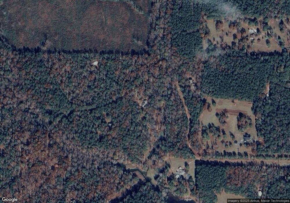
Map
Nearby Homes
- 188 Hidden Lakes Rd
- 243 Pine Knoll Dr
- 0 Durand Hwy Unit 10622092
- 0 Durand Hwy Unit 24120903
- 0 Whitehouse Pkwy Unit 10593573
- 353 Parham Rd
- 6622 Roosevelt Hwy
- 0 Roosevelt Hwy Unit 10548840
- 75 ACRES Roosevelt Hwy
- 71 ACRES Roosevelt Hwy
- 116 Green St
- 514 Phillips Rd
- 146 ACRES Roosevelt Hwy
- 261 Green St
- 7333 White House Pkwy
- 7333 Roosevelt Hwy
- 3688 Whitehouse Pkwy
- 79 Minnie Mill Ln
- 2067 Threadgill Rd
- 2001 Threadgill Rd
- 689 Hidden Lakes Rd
- 603 Hidden Lakes Rd
- 315 Hidden Lakes Rd
- 0 Hidden Lakes Rd Unit TRACT B 3027177
- 0 Hidden Lakes Rd Unit 7.19 ACRES 10298393
- 0 Hidden Lakes Rd Unit 3065050
- 0 Hidden Lakes Rd Unit 3150794
- 0 Hidden Lakes Rd Unit 7018181
- 0 Hidden Lakes Rd Unit 7090450
- 0 Hidden Lakes Rd Unit 7194181
- 0 Hidden Lakes Rd Unit 7318212
- 0 Hidden Lakes Rd Unit 8033236
- 0 Hidden Lakes Rd Unit 8326843
- 867 Hidden Lakes Rd
- 1105 Hidden Lakes Rd
- 8987 Roosevelt Hwy
- 1171 Hidden Lakes Rd
- 882 Hidden Lakes Rd
- 988 Hidden Lakes Rd
- 8951 Roosevelt Hwy