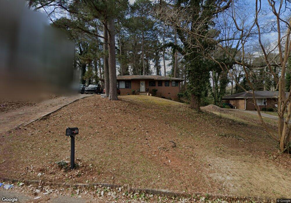
587 Kenridge Cir Stone Mountain, GA 30083
Estimated Value: $204,000 - $227,000
3
Beds
2
Baths
1,274
Sq Ft
$169/Sq Ft
Est. Value
About This Home
This home is located at 587 Kenridge Cir, Stone Mountain, GA 30083 and is currently estimated at $214,709, approximately $168 per square foot. 587 Kenridge Cir is a home located in DeKalb County with nearby schools including Allgood Elementary School, Freedom Middle School, and Clarkston High School.
Ownership History
Date
Name
Owned For
Owner Type
Purchase Details
Closed on
Sep 19, 2023
Sold by
Dawson Marlo Annette
Bought by
Amjake Properties Llc
Current Estimated Value
Purchase Details
Closed on
Aug 5, 1994
Sold by
Wise Linda G
Bought by
Dawson Marlo A
Home Financials for this Owner
Home Financials are based on the most recent Mortgage that was taken out on this home.
Original Mortgage
$53,200
Interest Rate
8.39%
Mortgage Type
FHA
Create a Home Valuation Report for This Property
The Home Valuation Report is an in-depth analysis detailing your home's value as well as a comparison with similar homes in the area
Home Values in the Area
Average Home Value in this Area
Purchase History
| Date | Buyer | Sale Price | Title Company |
|---|---|---|---|
| Amjake Properties Llc | $147,500 | -- | |
| Dawson Marlo A | $54,000 | -- |
Source: Public Records
Mortgage History
| Date | Status | Borrower | Loan Amount |
|---|---|---|---|
| Previous Owner | Dawson Marlo A | $53,200 |
Source: Public Records
Tax History Compared to Growth
Tax History
| Year | Tax Paid | Tax Assessment Tax Assessment Total Assessment is a certain percentage of the fair market value that is determined by local assessors to be the total taxable value of land and additions on the property. | Land | Improvement |
|---|---|---|---|---|
| 2025 | $4,490 | $92,200 | $24,000 | $68,200 |
| 2024 | $4,318 | $88,320 | $24,000 | $64,320 |
| 2023 | $4,318 | $91,080 | $24,000 | $67,080 |
| 2022 | $2,040 | $66,280 | $15,000 | $51,280 |
| 2021 | $1,516 | $45,440 | $15,000 | $30,440 |
| 2020 | $1,302 | $39,080 | $2,960 | $36,120 |
| 2019 | $1,200 | $36,440 | $2,960 | $33,480 |
| 2018 | $981 | $34,320 | $2,960 | $31,360 |
| 2017 | $724 | $22,000 | $2,960 | $19,040 |
| 2016 | $660 | $20,560 | $2,960 | $17,600 |
| 2014 | $366 | $9,920 | $2,960 | $6,960 |
Source: Public Records
Map
Nearby Homes
- 579 Kenridge Cir
- 570 Kenridge Cir
- 4210 Rockbridge Rd
- 4328 Rockbridge Rd
- 494 Rue Montaigne
- 4116 Warrior Trail Unit 2
- 4096 Warrior Trail
- 4250 Village Square Ln
- 539 Rue Montaigne
- 4134 Blackhawk Dr
- 550 S Rays (9 74 Acres) Rd
- 613 Rays Rd
- 550 S Rays (8 6 Acres) Rd
- 573 Hambrick Square
- 550 S Rays Rd
- 440 Sheppard Xing Ct
- 3943 Dunaire Dr
- 521 S Indian Creek Dr
- 3925 Dunaire Dr
- 593 Kenridge Cir
- 0 Kenridge Cir Unit 8510385
- 0 Kenridge Cir Unit 8247879
- 0 Kenridge Cir Unit 8207587
- 0 Kenridge Cir Unit 8028661
- 0 Kenridge Cir Unit 9066997
- 0 Kenridge Cir Unit 3166202
- 0 Kenridge Cir Unit 3166670
- 0 Kenridge Cir Unit 7193314
- 0 Kenridge Cir Unit 7332408
- 0 Kenridge Cir Unit 7391238
- 0 Kenridge Cir Unit 7589564
- 0 Kenridge Cir Unit 7598672
- 601 Kenridge Cir Unit III
- 573 Kenridge Cir
- 449 Kenridge Cir
- 459 Kenridge Cir
- 441 Kenridge Cir
- 467 Kenridge Cir
- 590 Kenridge Cir