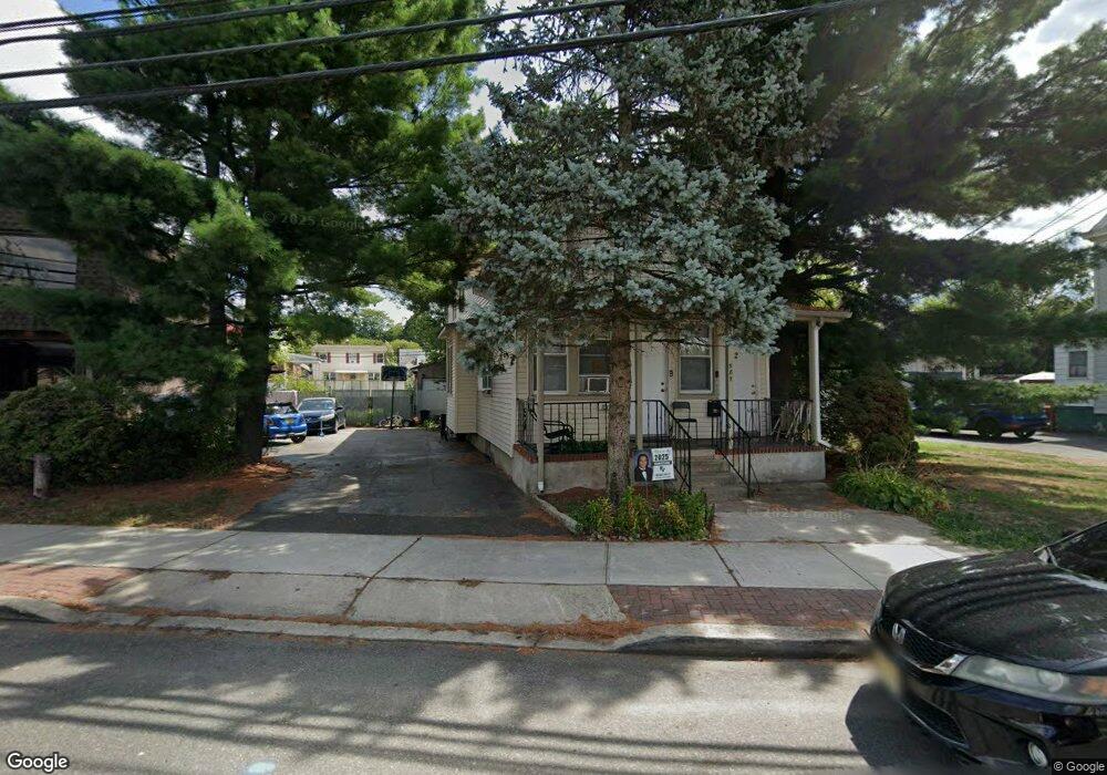
587 Mcbride Ave Woodland Park, NJ 07424
Estimated Value: $476,000 - $577,000
--
Bed
--
Bath
1,973
Sq Ft
$259/Sq Ft
Est. Value
About This Home
This home is located at 587 Mcbride Ave, Woodland Park, NJ 07424 and is currently estimated at $510,588, approximately $258 per square foot. 587 Mcbride Ave is a home located in Passaic County with nearby schools including Charles Olbon School, Beatrice Gilmore Elementary School, and Memorial Middle School.
Ownership History
Date
Name
Owned For
Owner Type
Purchase Details
Closed on
Jul 12, 2001
Sold by
Gallo Nancy
Bought by
587 Mcbridge Avenue *
Current Estimated Value
Purchase Details
Closed on
May 9, 1996
Sold by
Alesandrelli Rosemarie
Bought by
Gallo Nicolino and Gallo Nancy
Home Financials for this Owner
Home Financials are based on the most recent Mortgage that was taken out on this home.
Original Mortgage
$110,000
Interest Rate
7.77%
Create a Home Valuation Report for This Property
The Home Valuation Report is an in-depth analysis detailing your home's value as well as a comparison with similar homes in the area
Home Values in the Area
Average Home Value in this Area
Purchase History
| Date | Buyer | Sale Price | Title Company |
|---|---|---|---|
| 587 Mcbridge Avenue * | $160,000 | -- | |
| 587 Mcbridge Avenue * | $160,000 | -- | |
| Gallo Nicolino | $135,000 | -- |
Source: Public Records
Mortgage History
| Date | Status | Borrower | Loan Amount |
|---|---|---|---|
| Previous Owner | Gallo Nicolino | $110,000 |
Source: Public Records
Tax History Compared to Growth
Tax History
| Year | Tax Paid | Tax Assessment Tax Assessment Total Assessment is a certain percentage of the fair market value that is determined by local assessors to be the total taxable value of land and additions on the property. | Land | Improvement |
|---|---|---|---|---|
| 2025 | $7,404 | $221,200 | $88,800 | $132,400 |
| 2024 | $7,262 | $221,200 | $88,800 | $132,400 |
| 2022 | $7,273 | $221,200 | $88,800 | $132,400 |
| 2021 | $7,178 | $221,200 | $88,800 | $132,400 |
| 2020 | $7,047 | $221,200 | $88,800 | $132,400 |
| 2019 | $6,890 | $221,200 | $88,800 | $132,400 |
| 2018 | $6,992 | $221,200 | $88,800 | $132,400 |
| 2017 | $6,811 | $221,200 | $88,800 | $132,400 |
| 2016 | $6,702 | $221,200 | $88,800 | $132,400 |
| 2015 | $6,556 | $221,200 | $88,800 | $132,400 |
| 2014 | $7,212 | $266,800 | $105,000 | $161,800 |
Source: Public Records
Map
Nearby Homes
- 25 Newby Ave
- 19 Hillery St
- 69 Newby Ave
- 74 Marcellus Ave
- 190 Totowa Rd
- 512 Mcbride Ave
- 22 Mount Pleasant Ave
- 449 Taft Ave
- 86 Mount Pleasant Ave
- 112 Boyle Ave
- 63 Glover Ave Unit 65
- 63-65 Glover Ave
- 11 Woodrow Ave Unit 2
- 11 Woodrow Ave
- 75 Scrivens St
- 66 Danforth Ave Unit 68
- 776 Mcbride Ave
- 60 Garden Ave
- 593 Mcbride Ave
- 590 Mcbride Ave
- 599 Mcbride Ave
- 599 Mcbride Ave Unit 2
- 603 Mcbride Ave
- 12 Newby Ave
- 596 Mcbride Ave Unit 2
- 596 Mcbride Ave
- 16 Newby Ave
- 580 Mcbride Ave
- 18 Newby Ave
- 600 Mcbride Ave
- 30 W 34th St
- 30 W 34th St Unit 2
- 605 Mcbride Ave
- 22 Newby Ave
- 607 Mcbride Ave
- 576 Mcbride Ave
- 30 Newby Ave
- 37 W 34th St