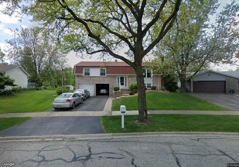
587 Miner Dr Bolingbrook, IL 60440
East Bolingbrook NeighborhoodEstimated Value: $326,000 - $412,000
4
Beds
2
Baths
1,950
Sq Ft
$185/Sq Ft
Est. Value
About This Home
This home is located at 587 Miner Dr, Bolingbrook, IL 60440 and is currently estimated at $361,044, approximately $185 per square foot. 587 Miner Dr is a home located in Will County with nearby schools including Jonas E Salk Elementary School, Hubert H Humphrey Middle School, and Brooks Middle School.
Ownership History
Date
Name
Owned For
Owner Type
Purchase Details
Closed on
Oct 18, 2008
Sold by
Mallon Joseph Royce and Mallon Joan
Bought by
Mallon Joseph Royce and Mallon Joan
Current Estimated Value
Purchase Details
Closed on
Jun 27, 2001
Sold by
Village Of Bolingbrook
Bought by
Iuonoi Vasile
Purchase Details
Closed on
Apr 12, 1999
Sold by
Mallon Joseph R and Mallon Juan
Bought by
Mallon Joseph R and Mallon Juan
Home Financials for this Owner
Home Financials are based on the most recent Mortgage that was taken out on this home.
Original Mortgage
$105,600
Interest Rate
7.17%
Create a Home Valuation Report for This Property
The Home Valuation Report is an in-depth analysis detailing your home's value as well as a comparison with similar homes in the area
Home Values in the Area
Average Home Value in this Area
Purchase History
| Date | Buyer | Sale Price | Title Company |
|---|---|---|---|
| Mallon Joseph Royce | -- | None Available | |
| Iuonoi Vasile | -- | -- | |
| Mallon Joseph R | -- | -- | |
| Mallon Joseph R | -- | -- |
Source: Public Records
Mortgage History
| Date | Status | Borrower | Loan Amount |
|---|---|---|---|
| Previous Owner | Mallon Joseph R | $105,600 |
Source: Public Records
Tax History
| Year | Tax Paid | Tax Assessment Tax Assessment Total Assessment is a certain percentage of the fair market value that is determined by local assessors to be the total taxable value of land and additions on the property. | Land | Improvement |
|---|---|---|---|---|
| 2024 | $7,568 | $97,942 | $20,056 | $77,886 |
| 2023 | $7,568 | $88,125 | $18,046 | $70,079 |
| 2022 | $6,766 | $79,449 | $16,269 | $63,180 |
| 2021 | $6,371 | $74,286 | $15,212 | $59,074 |
| 2020 | $6,154 | $71,844 | $14,712 | $57,132 |
| 2019 | $5,924 | $68,422 | $14,011 | $54,411 |
| 2018 | $5,649 | $65,388 | $13,410 | $51,978 |
| 2017 | $5,343 | $61,979 | $12,711 | $49,268 |
| 2016 | $5,155 | $59,000 | $12,100 | $46,900 |
| 2015 | $4,694 | $56,600 | $11,600 | $45,000 |
| 2014 | $4,694 | $53,300 | $11,600 | $41,700 |
| 2013 | $4,694 | $51,900 | $10,900 | $41,000 |
Source: Public Records
Map
Nearby Homes
- 598 Miner Dr
- 7 Purchase Ct
- 505 Goodwin Dr
- 428 N Ashbury Ave
- 409 N Ashbury Ave
- 221 Monroe Rd Unit 8
- 424 Van Gogh Cir Unit 1
- 168 Winston Dr
- 513 Jill Ln
- 156 Winston Dr
- 704 N Pinecrest Rd
- 574 Norman Rd
- 488 Ridge Ln
- 490 Ridge Ln
- 492 Ridge Ln
- 535 Jordan Way
- 462 Ridge Ln
- 458 Ridge Ln
- 502 Jordan Way
- 456 Ridge Ln
Your Personal Tour Guide
Ask me questions while you tour the home.