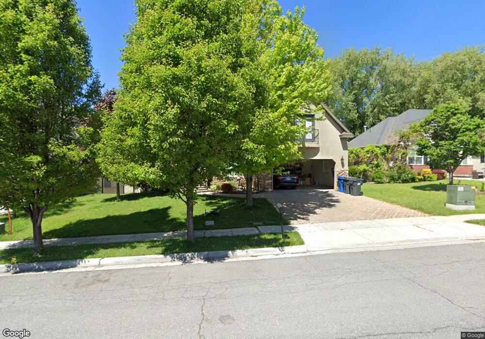
587 N 1200 E American Fork, UT 84003
Estimated Value: $970,000 - $1,253,000
8
Beds
5
Baths
5,159
Sq Ft
$211/Sq Ft
Est. Value
About This Home
This home is located at 587 N 1200 E, American Fork, UT 84003 and is currently estimated at $1,087,946, approximately $210 per square foot. 587 N 1200 E is a home located in Utah County with nearby schools including Barratt Elementary School, American Fork Junior High School, and American Fork High School.
Ownership History
Date
Name
Owned For
Owner Type
Purchase Details
Closed on
Mar 4, 2024
Sold by
Bellido Manuel Cardenas and Cardenas Melissa
Bought by
Durrant Ryan and Durrant Lindsay
Current Estimated Value
Home Financials for this Owner
Home Financials are based on the most recent Mortgage that was taken out on this home.
Original Mortgage
$766,550
Outstanding Balance
$753,728
Interest Rate
6.6%
Mortgage Type
New Conventional
Estimated Equity
$334,218
Purchase Details
Closed on
Aug 22, 2016
Sold by
Bellido Manuel Cardenas
Bought by
Bellido Manuel Cardenss and Cardenas Melissa
Home Financials for this Owner
Home Financials are based on the most recent Mortgage that was taken out on this home.
Original Mortgage
$260,000
Interest Rate
3.41%
Mortgage Type
New Conventional
Purchase Details
Closed on
Apr 29, 2015
Sold by
Felming William R and Felming Linda L
Bought by
Ld Holdings Llc
Purchase Details
Closed on
Oct 22, 2007
Sold by
Fleming Tamara and Fleming Linda
Bought by
Fleming William R and Fleming Linda L
Home Financials for this Owner
Home Financials are based on the most recent Mortgage that was taken out on this home.
Original Mortgage
$417,000
Interest Rate
6.27%
Mortgage Type
New Conventional
Purchase Details
Closed on
May 15, 2006
Sold by
Foster Investments Llc
Bought by
Fleming Tamara and Fleming Linda
Home Financials for this Owner
Home Financials are based on the most recent Mortgage that was taken out on this home.
Original Mortgage
$440,000
Interest Rate
6.46%
Mortgage Type
Purchase Money Mortgage
Purchase Details
Closed on
Nov 23, 2005
Sold by
Development Associates Inc
Bought by
Temple Investors Llc
Purchase Details
Closed on
Nov 14, 2005
Sold by
Temple Investors Llc
Bought by
Foster Investments Llc
Create a Home Valuation Report for This Property
The Home Valuation Report is an in-depth analysis detailing your home's value as well as a comparison with similar homes in the area
Home Values in the Area
Average Home Value in this Area
Purchase History
| Date | Buyer | Sale Price | Title Company |
|---|---|---|---|
| Durrant Ryan | -- | Access Title | |
| Bellido Manuel Cardenss | -- | Stewart Title Insurance Co | |
| Bellido Manuel Cardenas | -- | North American Title | |
| Ld Holdings Llc | -- | Accommodation | |
| Fleming William R | -- | Integrated Title Insurance | |
| Fleming Tamara | -- | Inwest Title Services Sal | |
| Temple Investors Llc | -- | Integrated Title Insurance | |
| Foster Investments Llc | -- | Integrated Title Insurance |
Source: Public Records
Mortgage History
| Date | Status | Borrower | Loan Amount |
|---|---|---|---|
| Open | Durrant Ryan | $766,550 | |
| Previous Owner | Bellido Manuel Cardenas | $260,000 | |
| Previous Owner | Fleming William R | $417,000 | |
| Previous Owner | Fleming Tamara | $440,000 |
Source: Public Records
Tax History
| Year | Tax Paid | Tax Assessment Tax Assessment Total Assessment is a certain percentage of the fair market value that is determined by local assessors to be the total taxable value of land and additions on the property. | Land | Improvement |
|---|---|---|---|---|
| 2025 | $3,904 | $532,125 | -- | -- |
| 2024 | $3,904 | $433,785 | $0 | $0 |
| 2023 | $3,730 | $439,340 | $0 | $0 |
| 2022 | $3,620 | $420,860 | $0 | $0 |
| 2021 | $3,173 | $576,200 | $173,400 | $402,800 |
| 2020 | $3,090 | $544,200 | $160,600 | $383,600 |
| 2019 | $2,798 | $509,600 | $153,700 | $355,900 |
| 2018 | $2,799 | $487,400 | $140,100 | $347,300 |
| 2017 | $2,785 | $261,745 | $0 | $0 |
| 2016 | $2,997 | $261,745 | $0 | $0 |
| 2015 | $2,843 | $235,620 | $0 | $0 |
| 2014 | $2,744 | $224,290 | $0 | $0 |
Source: Public Records
Map
Nearby Homes
- 1121 E 580 N
- 649 N 1280 E
- 2421 Renaissance Ct
- 462 N 950 E Unit 5
- 912 E Ellens St Unit 1
- 474 N 850 E
- 322 N 900 E
- 1045 N 930 E Unit 58
- 1058 N 930 E Unit 64
- 1289 W 1670 N
- 1089 N 950 E
- 1125 N 1270 E
- 980 W 1800 N
- 1897 N 900 W
- 410 N 600 E
- 1243 N 1270 E
- 1427 Narra Place
- 1609 N 900 W
- 681 W 2760 N
- 1365 N 990 W
- 575 N 1200 E
- 589 N 1200 E
- 1142 E 580 North Cir
- 1142 E 580 North Cir Unit 7
- 1142 E 580 North Cir Unit 5
- 563 N 1200 E
- 601 N 1200 E
- 601 N 1200 E Unit 17
- 586 N 1200 E
- 578 N 1200 E
- 578 N 1200 E Unit 34
- 1154 E 580 North Cir
- 1154 E 580 N
- 594 N 1200 E
- 562 N 1200 E
- 562 N 1200 E Unit 133
- 562 N 1200 E Unit 35
- 551 N 1200 E
- 551 N 1200 E Unit 14
- 613 N 1200 E
Your Personal Tour Guide
Ask me questions while you tour the home.