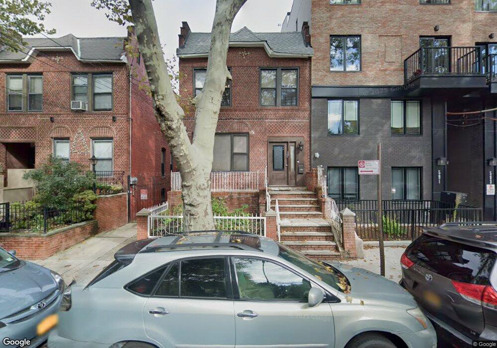
587 Rutland Rd Brooklyn, NY 11203
East Flatbush NeighborhoodEstimated Value: $1,054,000 - $1,319,000
--
Bed
--
Bath
2,320
Sq Ft
$496/Sq Ft
Est. Value
About This Home
This home is located at 587 Rutland Rd, Brooklyn, NY 11203 and is currently estimated at $1,149,668, approximately $495 per square foot. 587 Rutland Rd is a home located in Kings County with nearby schools including P.S. 91 The Albany Avenue School, New Heights Middle School, and Beth Rivkah Elementary School.
Ownership History
Date
Name
Owned For
Owner Type
Purchase Details
Closed on
Dec 13, 2012
Sold by
Francis Henry and Francis Hyacinth
Bought by
Krinsky Chana and Newman Louis
Current Estimated Value
Home Financials for this Owner
Home Financials are based on the most recent Mortgage that was taken out on this home.
Original Mortgage
$368,000
Outstanding Balance
$254,175
Interest Rate
3.38%
Mortgage Type
New Conventional
Estimated Equity
$895,493
Create a Home Valuation Report for This Property
The Home Valuation Report is an in-depth analysis detailing your home's value as well as a comparison with similar homes in the area
Home Values in the Area
Average Home Value in this Area
Purchase History
| Date | Buyer | Sale Price | Title Company |
|---|---|---|---|
| Krinsky Chana | $460,000 | -- | |
| Krinsky Chana | $460,000 | -- |
Source: Public Records
Mortgage History
| Date | Status | Borrower | Loan Amount |
|---|---|---|---|
| Open | Krinsky Chana | $368,000 | |
| Closed | Krinsky Chana | $368,000 |
Source: Public Records
Tax History Compared to Growth
Tax History
| Year | Tax Paid | Tax Assessment Tax Assessment Total Assessment is a certain percentage of the fair market value that is determined by local assessors to be the total taxable value of land and additions on the property. | Land | Improvement |
|---|---|---|---|---|
| 2025 | $6,915 | $71,220 | $22,320 | $48,900 |
| 2024 | $6,915 | $78,540 | $22,320 | $56,220 |
| 2023 | $6,993 | $75,420 | $22,320 | $53,100 |
| 2022 | $6,811 | $68,100 | $22,320 | $45,780 |
| 2021 | $6,764 | $61,200 | $22,320 | $38,880 |
| 2020 | $6,403 | $65,640 | $22,320 | $43,320 |
| 2019 | $5,953 | $64,260 | $22,320 | $41,940 |
Source: Public Records
Map
Nearby Homes
- 602 Maple St
- 487 Midwood St
- 556 E New York Ave
- 446 Kingston Ave Unit D9
- 704 Lefferts Ave
- 691 Winthrop St
- 112 E 45th St
- 20 Lamont Ct
- 122 E 46th St
- 406 Midwood St Unit PHA
- 406 Midwood St Unit 2 B
- 406 Midwood St Unit 1 B
- 406 Midwood St Unit 2 A
- 406 Midwood St Unit PH
- 406 Midwood St Unit 1-BB
- 406 Midwood St Unit 1 A
- 464 E New York Ave
- 625 New York Ave Unit 3B
- 625 New York Ave Unit 4B
- 625 New York Ave Unit 2I
- 585 Rutland Rd
- 591 Rutland Rd
- 591 Rutland Rd Unit 1R
- 583 Rutland Rd
- 593 Rutland Rd
- 593 Rutland Rd Unit 1R
- 593 Rutland Rd Unit 4F
- 595 Rutland Rd
- 579 Rutland Rd
- 597 Rutland Rd
- 575 Rutland Rd
- 586 Midwood St
- 580 Midwood St
- 588 Midwood St
- 599 Rutland Rd
- 578 Midwood St
- 592 Midwood St
- 571 Rutland Rd
- 576 Midwood St
- 603 Rutland Rd