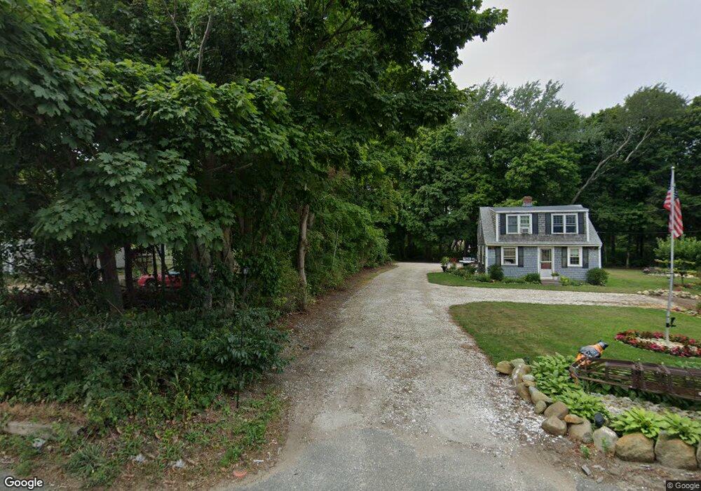
587 State Hwy Route 6 Wellfleet, MA 02667
Estimated Value: $681,000 - $808,000
3
Beds
3
Baths
1,232
Sq Ft
$583/Sq Ft
Est. Value
About This Home
This home is located at 587 State Hwy Route 6, Wellfleet, MA 02667 and is currently estimated at $718,643, approximately $583 per square foot. 587 State Hwy Route 6 is a home located in Barnstable County with nearby schools including Wellfleet Elementary School, Nauset Regional Middle School, and Nauset Regional High School.
Ownership History
Date
Name
Owned For
Owner Type
Purchase Details
Closed on
Sep 27, 2024
Sold by
Lewis Janet M
Bought by
Johnson Thomas E and Johnson Lois R
Current Estimated Value
Purchase Details
Closed on
Oct 9, 2019
Sold by
Maple Ledge Associates
Bought by
Lewis Janet M
Purchase Details
Closed on
Jun 8, 2018
Sold by
Deutsche Bk Natl T Co
Bought by
Maple Ledge Associates
Home Financials for this Owner
Home Financials are based on the most recent Mortgage that was taken out on this home.
Original Mortgage
$185,000
Interest Rate
4.5%
Mortgage Type
New Conventional
Purchase Details
Closed on
Jun 1, 2017
Sold by
Racine Alain and Deutsche Bank Natl T C
Bought by
Deutsche Bk Natl T Co
Purchase Details
Closed on
Apr 27, 2006
Sold by
Nordahl Jon R and Nordahl Karen L
Bought by
Racine Alain
Home Financials for this Owner
Home Financials are based on the most recent Mortgage that was taken out on this home.
Original Mortgage
$313,600
Interest Rate
6.4%
Mortgage Type
Purchase Money Mortgage
Create a Home Valuation Report for This Property
The Home Valuation Report is an in-depth analysis detailing your home's value as well as a comparison with similar homes in the area
Home Values in the Area
Average Home Value in this Area
Purchase History
| Date | Buyer | Sale Price | Title Company |
|---|---|---|---|
| Johnson Thomas E | $665,000 | None Available | |
| Johnson Thomas E | $665,000 | None Available | |
| Lewis Janet M | $370,000 | -- | |
| Maple Ledge Associates | $193,200 | -- | |
| Deutsche Bk Natl T Co | $236,485 | -- | |
| Racine Alain | $392,000 | -- | |
| Maple Ledge Associates | $193,200 | -- | |
| Deutsche Bk Natl T Co | $236,485 | -- | |
| Racine Alain | $392,000 | -- |
Source: Public Records
Mortgage History
| Date | Status | Borrower | Loan Amount |
|---|---|---|---|
| Previous Owner | Maple Ledge Associates | $185,000 | |
| Previous Owner | Racine Alain | $313,600 |
Source: Public Records
Tax History Compared to Growth
Tax History
| Year | Tax Paid | Tax Assessment Tax Assessment Total Assessment is a certain percentage of the fair market value that is determined by local assessors to be the total taxable value of land and additions on the property. | Land | Improvement |
|---|---|---|---|---|
| 2025 | $4,250 | $597,700 | $206,500 | $391,200 |
| 2024 | $3,968 | $581,000 | $196,700 | $384,300 |
| 2023 | $3,532 | $507,500 | $166,700 | $340,800 |
| 2022 | $3,067 | $394,200 | $146,200 | $248,000 |
| 2021 | $2,759 | $351,000 | $130,500 | $220,500 |
| 2020 | $2,682 | $346,100 | $137,400 | $208,700 |
| 2019 | $2,413 | $312,100 | $137,400 | $174,700 |
| 2018 | $2,214 | $308,300 | $137,400 | $170,900 |
| 2017 | $2,068 | $305,000 | $137,400 | $167,600 |
| 2016 | $1,994 | $292,000 | $125,600 | $166,400 |
| 2015 | $1,949 | $287,500 | $124,300 | $163,200 |
Source: Public Records
Map
Nearby Homes
- 90 Blue Heron Rd
- 40 Leilla Rich Dr
- 90 Ring Rd
- 55 Harvard St
- 95 Barker St
- 176 Village Ln
- 210 West Rd Unit B9
- 210 West Rd Unit M-16
- 11 Whelpley Rd
- 140 Harvest Rd
- 25 1st Ave
- 100 Gigi Ln
- 60 Long Ave Unit E
- 675 N Sunken Meadow Rd
- 5470 State Hwy
- 245 Paine Hollow Rd
- 190 Meadow Ave W
- 41-43 9th St
- 125 Wamsutta Rd
- 90 Paine Hollow Rd
- 587 State Hwy Rte 6
- 587 State Highway Route 6
- 587 U S 6
- 575 U S 6
- 603 State Hwy Rte 6
- 575 State Hwy Rte 6
- 80 Castagna Dr
- 15 Jason's Path
- 15 Jason Path
- 633 State Highway Rt 6
- 633 State Highway Rt 6 Unit 8
- 35 Jason Path
- 16 Oyster Ln
- 25 Castagna Dr
- 5 Richard's Way
- 604 U S 6
- 60 Castagna Dr
- 20 Oyster Ln
- 604 State Hwy Rte 6
- 0 Route 6