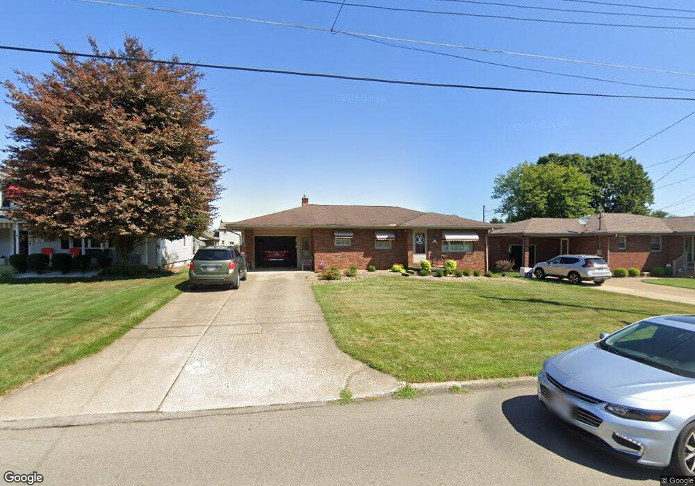
587 W Omar St Struthers, OH 44471
Estimated Value: $163,000 - $237,000
3
Beds
1
Bath
1,044
Sq Ft
$181/Sq Ft
Est. Value
About This Home
This home is located at 587 W Omar St, Struthers, OH 44471 and is currently estimated at $189,459, approximately $181 per square foot. 587 W Omar St is a home located in Mahoning County with nearby schools including Struthers Elementary School, Struthers Middle School, and Struthers High School.
Ownership History
Date
Name
Owned For
Owner Type
Purchase Details
Closed on
Aug 11, 2022
Sold by
Mathews Ronald M
Bought by
Mathews Patricia L
Current Estimated Value
Purchase Details
Closed on
Aug 10, 2022
Sold by
Mathews Patricia L
Bought by
Burgham Shirley Ann and Mathews Ronald J
Purchase Details
Closed on
Mar 26, 2013
Sold by
Matthews Ronald M and Mathews Patricia L
Bought by
Mathews Ronald M and Mathews Patricia L
Purchase Details
Closed on
Jan 8, 1965
Bought by
Mathews Ronald M P L
Create a Home Valuation Report for This Property
The Home Valuation Report is an in-depth analysis detailing your home's value as well as a comparison with similar homes in the area
Home Values in the Area
Average Home Value in this Area
Purchase History
| Date | Buyer | Sale Price | Title Company |
|---|---|---|---|
| Mathews Patricia L | -- | -- | |
| Burgham Shirley Ann | -- | -- | |
| Burgham Shirley Ann | -- | None Listed On Document | |
| Mathews Ronald M | -- | Attorney | |
| Mathews Ronald M P L | -- | -- |
Source: Public Records
Tax History
| Year | Tax Paid | Tax Assessment Tax Assessment Total Assessment is a certain percentage of the fair market value that is determined by local assessors to be the total taxable value of land and additions on the property. | Land | Improvement |
|---|---|---|---|---|
| 2025 | $1,771 | $41,630 | $5,180 | $36,450 |
| 2024 | $1,733 | $41,630 | $5,180 | $36,450 |
| 2023 | $1,704 | $41,630 | $5,180 | $36,450 |
| 2022 | $1,135 | $29,740 | $4,880 | $24,860 |
| 2021 | $1,125 | $29,740 | $4,880 | $24,860 |
| 2020 | $1,130 | $29,740 | $4,880 | $24,860 |
| 2019 | $1,015 | $25,860 | $4,240 | $21,620 |
| 2018 | $969 | $25,860 | $4,240 | $21,620 |
| 2017 | $1,006 | $25,860 | $4,240 | $21,620 |
| 2016 | $1,046 | $27,710 | $4,940 | $22,770 |
| 2015 | $1,021 | $27,710 | $4,940 | $22,770 |
| 2014 | $1,025 | $27,710 | $4,940 | $22,770 |
| 2013 | $952 | $27,710 | $4,940 | $22,770 |
Source: Public Records
Map
Nearby Homes
- 2089 Shetland Ln
- 587 Edison St
- 1933 Brandon Ave
- 5710 Youngstown Poland Rd
- 611 W Wilson St
- 5425 Sheridan Rd
- 536 Creed St
- 2128 Lyon Blvd
- 2153 Lyon Blvd
- 5522 Sheridan Rd
- 1928 Palo Verde Dr
- 2370 Lyon Blvd
- 1913 Country Club Ave
- 0 Oles Ave
- 0 Woodlawn Ave
- 795 5th St
- 2350 Hamilton Ave
- 1890 Mathews Rd
- 1828 Basil Ave
- 2035 Woodward Ave
Your Personal Tour Guide
Ask me questions while you tour the home.