Estimated Value: $225,517 - $2,668,000
--
Bed
--
Bath
--
Sq Ft
2.24
Acres
About This Home
This home is located at 5870 N Llr Hwy, Howe, ID 83244 and is currently estimated at $1,045,839. 5870 N Llr Hwy is a home with nearby schools including Howe Elementary School and Butte County High School.
Ownership History
Date
Name
Owned For
Owner Type
Purchase Details
Closed on
Oct 2, 2017
Sold by
Waymire Mickey K and Waymire Julie A
Bought by
Waymire Mickey K and Waymire Julie Ann
Current Estimated Value
Home Financials for this Owner
Home Financials are based on the most recent Mortgage that was taken out on this home.
Original Mortgage
$101,000
Interest Rate
3.86%
Mortgage Type
New Conventional
Purchase Details
Closed on
Jul 25, 2013
Sold by
Waymire Mickey and Waymire Julie
Bought by
Waymire Mickey K and Waymire Julie A
Home Financials for this Owner
Home Financials are based on the most recent Mortgage that was taken out on this home.
Original Mortgage
$107,025
Interest Rate
4.75%
Mortgage Type
FHA
Create a Home Valuation Report for This Property
The Home Valuation Report is an in-depth analysis detailing your home's value as well as a comparison with similar homes in the area
Home Values in the Area
Average Home Value in this Area
Purchase History
| Date | Buyer | Sale Price | Title Company |
|---|---|---|---|
| Waymire Mickey K | -- | None Available | |
| Waymire Mickey K | -- | None Available |
Source: Public Records
Mortgage History
| Date | Status | Borrower | Loan Amount |
|---|---|---|---|
| Closed | Waymire Mickey K | $101,000 | |
| Closed | Waymire Mickey K | $107,025 |
Source: Public Records
Tax History Compared to Growth
Tax History
| Year | Tax Paid | Tax Assessment Tax Assessment Total Assessment is a certain percentage of the fair market value that is determined by local assessors to be the total taxable value of land and additions on the property. | Land | Improvement |
|---|---|---|---|---|
| 2025 | $904 | $192,773 | $37,058 | $155,715 |
| 2024 | $913 | $192,773 | $37,058 | $155,715 |
| 2023 | $866 | $182,773 | $27,058 | $155,715 |
| 2022 | $1,098 | $182,773 | $27,058 | $155,715 |
| 2021 | $1,088 | $161,110 | $24,452 | $136,658 |
| 2020 | $1,001 | $141,338 | $22,229 | $119,109 |
| 2019 | $885 | $125,028 | $20,208 | $104,820 |
| 2018 | $849 | $125,028 | $20,208 | $104,820 |
| 2017 | $883 | $122,028 | $17,208 | $104,820 |
| 2016 | $928 | $117,410 | $12,590 | $104,820 |
| 2015 | $884 | $117,995 | $12,590 | $105,405 |
| 2014 | -- | $117,995 | $12,590 | $105,405 |
Source: Public Records
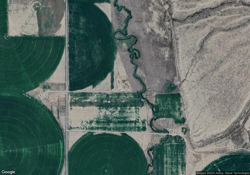
Map
Nearby Homes
- 0 Badger Creek Unit 98951894
- 3580 3980 N
- TBD Tbd
- TBD 4200 N
- 4133 U S 93
- 4133 N Hwy 93
- 3831 N 3580 W
- 4237 Summit Dr
- 4238 Summit Dr
- 410 & 408 E Custer St
- 214 W Pine St
- 310 &312 Main St
- 501 W Pine St W
- 410 Rose Ave
- 510 Spruce St
- 801 Forest Dr
- 4514 Cottonwood Grove Rd
- 207 W College St
- 412 Rose Ave
- 803/805 W College St