5873 Double Bluff Rd Freeland, WA 98249
Estimated Value: $1,457,995 - $1,577,000
3
Beds
4
Baths
4,703
Sq Ft
$323/Sq Ft
Est. Value
About This Home
This home is located at 5873 Double Bluff Rd, Freeland, WA 98249 and is currently estimated at $1,517,498, approximately $322 per square foot. 5873 Double Bluff Rd is a home located in Island County with nearby schools including South Whidbey Elementary School, South Whidbey Middle School, and South Whidbey High School.
Ownership History
Date
Name
Owned For
Owner Type
Purchase Details
Closed on
May 17, 2007
Sold by
Mcfarland John M and Mcfarland Barbara Ann L
Bought by
Mcfarland John M and Mcfarland Barbara Ann L
Current Estimated Value
Home Financials for this Owner
Home Financials are based on the most recent Mortgage that was taken out on this home.
Original Mortgage
$150,000
Interest Rate
6.18%
Mortgage Type
New Conventional
Create a Home Valuation Report for This Property
The Home Valuation Report is an in-depth analysis detailing your home's value as well as a comparison with similar homes in the area
Home Values in the Area
Average Home Value in this Area
Purchase History
| Date | Buyer | Sale Price | Title Company |
|---|---|---|---|
| Mcfarland John M | -- | Lt |
Source: Public Records
Mortgage History
| Date | Status | Borrower | Loan Amount |
|---|---|---|---|
| Closed | Mcfarland John M | $150,000 |
Source: Public Records
Tax History Compared to Growth
Tax History
| Year | Tax Paid | Tax Assessment Tax Assessment Total Assessment is a certain percentage of the fair market value that is determined by local assessors to be the total taxable value of land and additions on the property. | Land | Improvement |
|---|---|---|---|---|
| 2024 | $8,550 | $1,319,732 | $350,000 | $969,732 |
| 2023 | $8,550 | $1,311,041 | $330,000 | $981,041 |
| 2022 | $8,146 | $1,182,295 | $280,000 | $902,295 |
| 2021 | $7,553 | $1,028,630 | $230,000 | $798,630 |
| 2020 | $6,653 | $971,796 | $190,000 | $781,796 |
| 2019 | $6,550 | $878,299 | $230,000 | $648,299 |
| 2018 | $6,932 | $860,081 | $210,000 | $650,081 |
| 2017 | $6,187 | $843,642 | $190,000 | $653,642 |
| 2016 | $6,321 | $825,766 | $165,000 | $660,766 |
| 2015 | $6,570 | $817,279 | $147,750 | $669,529 |
| 2013 | -- | $875,479 | $147,750 | $727,729 |
Source: Public Records
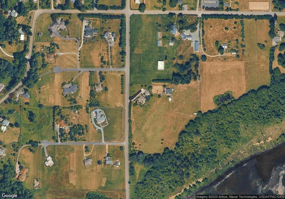
Map
Nearby Homes
- 1940 Cattail Ln
- 0 Panorama Dr
- 5876 Capt Vancouver Dr
- 16421 Washington 525
- 0 XXX Osprey Rd Unit 15-2
- 0 XXX Osprey Rd (15-1 & 15-2)
- 0 XXX Osprey Rd Unit 15-1
- 1677 Lancaster Rd
- 2021 Shore Ave
- 0 S Serendipity Ln
- 5772 Captain Vancouver Dr
- 2270 Shore Ave
- 1738 Alliance Ave Unit 14
- 1762 Compass Blvd Unit 17
- 1776 Compass Blvd Unit 24
- 1943 Shore Ave
- 2391 Soundview Dr
- 5591 S Harbor Ave
- 5504 Emil Rd
- 2408 Soundview Dr
- 1984 Hillvista Place
- 1983 Hillvista Place
- 1975 Hillvista Place
- 1966 Hillvista Place
- 1985 Bayvista Place
- 1953 Hillvista Place
- 5791 Double Bluff Rd
- 2028 Millman Rd
- 1953 E Hillvista Rd
- 1967 Hillvista Place
- 1965 Bayvista Place
- 2259 Lancaster Rd
- 1986 Bayvista Place
- 19 XX Lancaster Rd
- 1819 Lancaster Rd
- 1664 Lancaster Rd
- 1974 Bayvista Place
- 1950 Hillvista Place
- 1947 Bayvista Place
- 0 Millman Rd Unit NWM522131