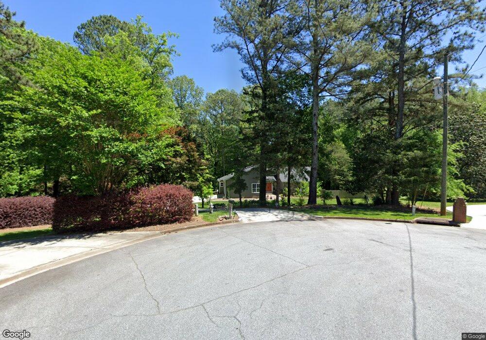
5873 Smoke Rise Ct Unit 1 Stone Mountain, GA 30087
Estimated Value: $457,000 - $577,000
4
Beds
4
Baths
3,259
Sq Ft
$162/Sq Ft
Est. Value
About This Home
This home is located at 5873 Smoke Rise Ct Unit 1, Stone Mountain, GA 30087 and is currently estimated at $527,324, approximately $161 per square foot. 5873 Smoke Rise Ct Unit 1 is a home located in Gwinnett County with nearby schools including Camp Creek Elementary School, Trickum Middle School, and Parkview High School.
Ownership History
Date
Name
Owned For
Owner Type
Purchase Details
Closed on
May 21, 2010
Sold by
Leach Douglas D and Leach Donis L
Bought by
Carroll Darin S and Carroll Serena A
Current Estimated Value
Home Financials for this Owner
Home Financials are based on the most recent Mortgage that was taken out on this home.
Original Mortgage
$294,467
Outstanding Balance
$200,920
Interest Rate
5.5%
Mortgage Type
FHA
Estimated Equity
$326,404
Create a Home Valuation Report for This Property
The Home Valuation Report is an in-depth analysis detailing your home's value as well as a comparison with similar homes in the area
Home Values in the Area
Average Home Value in this Area
Purchase History
| Date | Buyer | Sale Price | Title Company |
|---|---|---|---|
| Carroll Darin S | $299,900 | -- |
Source: Public Records
Mortgage History
| Date | Status | Borrower | Loan Amount |
|---|---|---|---|
| Open | Carroll Darin S | $294,467 |
Source: Public Records
Tax History Compared to Growth
Tax History
| Year | Tax Paid | Tax Assessment Tax Assessment Total Assessment is a certain percentage of the fair market value that is determined by local assessors to be the total taxable value of land and additions on the property. | Land | Improvement |
|---|---|---|---|---|
| 2025 | $5,428 | $182,160 | $47,200 | $134,960 |
| 2024 | $6,267 | $216,240 | $47,200 | $169,040 |
| 2023 | $6,267 | $187,560 | $49,320 | $138,240 |
| 2022 | $5,071 | $160,880 | $45,320 | $115,560 |
| 2021 | $4,620 | $135,520 | $38,920 | $96,600 |
| 2020 | $4,651 | $135,520 | $38,920 | $96,600 |
| 2019 | $4,311 | $126,240 | $38,920 | $87,320 |
| 2018 | $3,892 | $106,640 | $33,320 | $73,320 |
| 2016 | $3,646 | $98,960 | $28,120 | $70,840 |
| 2015 | $3,686 | $98,960 | $28,120 | $70,840 |
| 2014 | -- | $98,960 | $28,120 | $70,840 |
Source: Public Records
Map
Nearby Homes
- 292 Old Rosser Rd
- 262 Harmony Grove Rd
- 353 Old Rosser Rd
- 127 Old Rosser Rd SW
- 5633 Breezy Ct SW
- 483 Rollingwood Dr
- 507 Castleaire Dr Unit 1
- 507 Castlearie Dr
- 127 Roe Hampton Ln
- 5887 Stow Dr
- 29 Lankford Rd
- 5781 Four Winds Dr SW Unit 1B
- 5521 E Wind Dr SW
- 5618 Fern Creek Dr SW
- 5768 Lost Grove Dr NW
- 5531 Four Winds Dr SW
- 5796 Princeton Run Trail
- 5806 Princeton Run Trail
- 5873 Smoke Rise Ct
- 5882 Smoke Rise Ct SW
- 5882 Smoke Rise Ct
- 5883 Smoke Rise Ct
- 5893 Smoke Rise Ct
- 5902 Smoke Rise Ct
- 311 Nalley Dr
- 5903 Smoke Rise Ct
- 312 Nalley Dr
- 285 Nimblewill Way SW
- 0 Nimblewill Way SW Unit 8846809
- 0 Nimblewill Way SW Unit 8580649
- 0 Nimblewill Way SW Unit 8218241
- 0 Nimblewill Way SW Unit 8038249
- 289 Nimblewill Way SW
- 0 Smoke Rise Ct SW Unit 3235198
- 0 Smoke Rise Ct SW Unit 8090195
- 0 Smoke Rise Ct SW Unit 3125847
- 0 Smoke Rise Ct SW
- 321 Nalley Dr