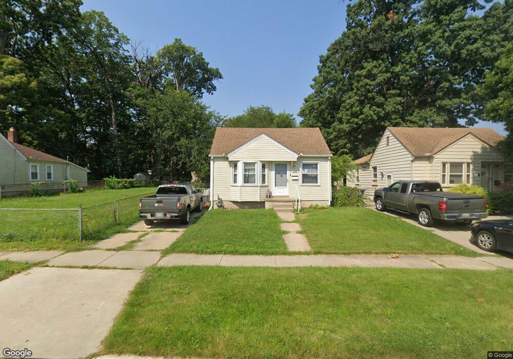
5876 Buck St Taylor, MI 48180
Estimated Value: $119,369 - $192,000
3
Beds
1
Bath
1,200
Sq Ft
$126/Sq Ft
Est. Value
About This Home
This home is located at 5876 Buck St, Taylor, MI 48180 and is currently estimated at $151,592, approximately $126 per square foot. 5876 Buck St is a home located in Wayne County with nearby schools including Taylor Parks Elementary School, Hoover Middle School, and Quest Charter Academy.
Ownership History
Date
Name
Owned For
Owner Type
Purchase Details
Closed on
Apr 27, 2009
Sold by
Canell Jennefer L
Bought by
Star Properties Inc
Current Estimated Value
Purchase Details
Closed on
Mar 30, 2009
Sold by
The Bank Of New York Mellon Trust Compan
Bought by
Canell Jennefer L
Purchase Details
Closed on
Jun 18, 2008
Sold by
Johnson Linda and Johnson Paul
Bought by
The Bank Of New York and Jpmorgan Chase Bank Na
Purchase Details
Closed on
Sep 17, 2001
Sold by
Diamond Stephen
Bought by
Johnson Linda
Purchase Details
Closed on
Jul 15, 1999
Sold by
Mcca Angela K and Mcca Robert J
Bought by
Shore Financial Services Inc & Shore Mtg
Create a Home Valuation Report for This Property
The Home Valuation Report is an in-depth analysis detailing your home's value as well as a comparison with similar homes in the area
Home Values in the Area
Average Home Value in this Area
Purchase History
| Date | Buyer | Sale Price | Title Company |
|---|---|---|---|
| Star Properties Inc | -- | None Available | |
| Canell Jennefer L | $3,500 | E Title Agency Inc | |
| The Bank Of New York | $56,000 | None Available | |
| Johnson Linda | $97,000 | -- | |
| Shore Financial Services Inc & Shore Mtg | $55,581 | -- |
Source: Public Records
Tax History Compared to Growth
Tax History
| Year | Tax Paid | Tax Assessment Tax Assessment Total Assessment is a certain percentage of the fair market value that is determined by local assessors to be the total taxable value of land and additions on the property. | Land | Improvement |
|---|---|---|---|---|
| 2025 | $1,149 | $39,300 | $0 | $0 |
| 2024 | $1,149 | $35,900 | $0 | $0 |
| 2023 | $1,562 | $30,900 | $0 | $0 |
| 2022 | $1,081 | $29,200 | $0 | $0 |
| 2021 | $1,185 | $25,500 | $0 | $0 |
| 2020 | $1,182 | $22,500 | $0 | $0 |
| 2019 | $119,678 | $18,700 | $0 | $0 |
| 2018 | $949 | $15,600 | $0 | $0 |
| 2017 | $498 | $15,400 | $0 | $0 |
| 2016 | $1,131 | $15,100 | $0 | $0 |
| 2015 | $1,560 | $15,600 | $0 | $0 |
| 2013 | $2,270 | $23,200 | $0 | $0 |
| 2012 | $1,831 | $29,700 | $15,100 | $14,600 |
Source: Public Records
Map
Nearby Homes
- 24074 Hanover St
- 5863 Westpoint St
- 24035 Currier St
- 24443 Powers Ave
- 5689 Cornell St
- 24602 Powers Ave
- 6420 Burr St
- 24360 Pennie St
- 6430 Banner St
- 5671 Syracuse St
- 24636 Pennie St
- 24339 Eton Ave
- 5908 Pine St
- 24117 Eton Ave
- 5954 Pine St
- 6020 Vivian St
- 6605 Bailey St
- 4901 Cornell St
- 4856 Carolee Ln
- 24613 Hopkins St