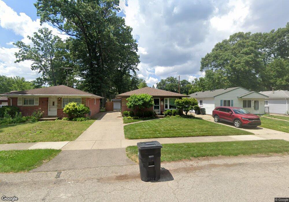
5877 N Parent St Westland, MI 48185
Estimated Value: $183,154 - $214,000
--
Bed
1
Bath
928
Sq Ft
$213/Sq Ft
Est. Value
About This Home
This home is located at 5877 N Parent St, Westland, MI 48185 and is currently estimated at $197,539, approximately $212 per square foot. 5877 N Parent St is a home located in Wayne County with nearby schools including Wildwood Elementary School, Marshall Upper Elementary School, and Adlai Stevenson Middle School.
Ownership History
Date
Name
Owned For
Owner Type
Purchase Details
Closed on
Mar 11, 2021
Sold by
Phillips Charles
Bought by
Phillips Stefanie L and Phillips Owen M
Current Estimated Value
Purchase Details
Closed on
May 14, 2001
Sold by
Lassaline Debra K
Bought by
Phillips Charles
Purchase Details
Closed on
Jun 27, 1995
Sold by
Richard E Greenfield
Bought by
Weed Michael G Lassalin and Weed Debra K
Create a Home Valuation Report for This Property
The Home Valuation Report is an in-depth analysis detailing your home's value as well as a comparison with similar homes in the area
Home Values in the Area
Average Home Value in this Area
Purchase History
| Date | Buyer | Sale Price | Title Company |
|---|---|---|---|
| Phillips Stefanie L | -- | Land Title | |
| Phillips Stefanie L | -- | Land Title | |
| Phillips Charles D | -- | None Available | |
| Phillips Charles | $129,000 | -- | |
| Weed Michael G Lassalin | $82,500 | -- |
Source: Public Records
Tax History Compared to Growth
Tax History
| Year | Tax Paid | Tax Assessment Tax Assessment Total Assessment is a certain percentage of the fair market value that is determined by local assessors to be the total taxable value of land and additions on the property. | Land | Improvement |
|---|---|---|---|---|
| 2025 | $1,795 | $79,500 | $0 | $0 |
| 2024 | $1,795 | $77,200 | $0 | $0 |
| 2023 | $1,714 | $70,300 | $0 | $0 |
| 2022 | $1,946 | $63,200 | $0 | $0 |
| 2021 | $1,897 | $58,300 | $0 | $0 |
| 2020 | $1,879 | $50,900 | $0 | $0 |
| 2019 | $1,809 | $47,100 | $0 | $0 |
| 2018 | $1,410 | $41,900 | $0 | $0 |
| 2017 | $577 | $38,800 | $0 | $0 |
| 2016 | $1,775 | $37,800 | $0 | $0 |
| 2015 | $3,491 | $36,070 | $0 | $0 |
| 2013 | $3,670 | $37,520 | $0 | $0 |
| 2012 | $1,803 | $42,710 | $0 | $0 |
Source: Public Records
Map
Nearby Homes
- 35754 Castlewood Ct
- 35833 Ford Rd
- 35737 Hunter Ave
- 6546 Quail Run Cir
- 35863 Hunter Ave Unit 34
- 0 N Wayne Rd
- 7051 Wayne Rd
- 34802 Pardo St
- 34752 John Hauk St
- 0 Dowling Ave
- 6145 N Dowling St
- 1654 Shoemaker Dr Unit 145
- 6541 Pembrook Dr
- 1680 N Hanlon St
- 6026 Wilmer St
- 1309 Shoemaker Dr
- 1605 N Hanlon St
- 37186 Amhurst Dr Unit 5
- 5692 N Globe St
- 5889 N Globe St
- 5889 N Parent St
- 5865 N Parent St
- 5901 N Parent St
- 5913 N Parent St
- 5847 N Parent St
- 5876 N Karle St
- 5852 N Karle St
- 5902 N Karle St
- 5925 N Parent St Unit Bldg-Unit
- 5925 N Parent St
- 5829 N Parent St
- 5840 N Karle St
- 5882 N Parent St
- 5937 N Parent St Unit Bldg-Unit
- 5937 N Parent St
- 5858 N Parent St
- 5924 N Karle St
- 5828 N Karle St
- 5817 N Parent St
- 5900 N Parent St