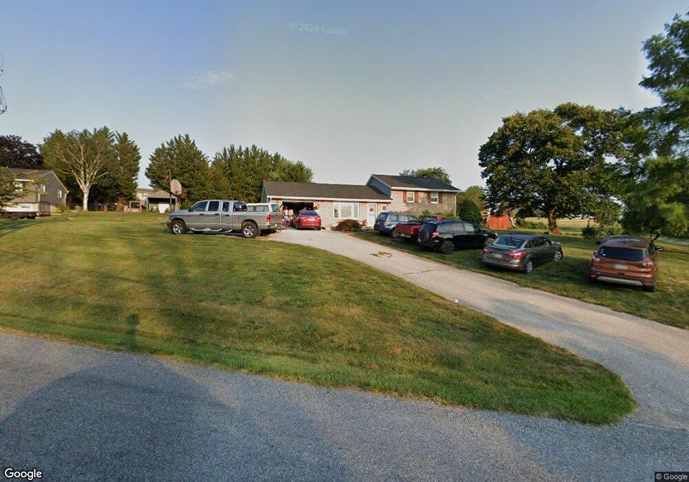
5878 Ambau Rd Spring Grove, PA 17362
Estimated Value: $332,795 - $419,000
3
Beds
3
Baths
2,496
Sq Ft
$146/Sq Ft
Est. Value
About This Home
This home is located at 5878 Ambau Rd, Spring Grove, PA 17362 and is currently estimated at $364,699, approximately $146 per square foot. 5878 Ambau Rd is a home located in York County with nearby schools including Spring Grove Area Middle School, Spring Grove Area High School, and Garbers Mennonite School.
Ownership History
Date
Name
Owned For
Owner Type
Purchase Details
Closed on
Mar 30, 2006
Sold by
Cendant Mobility Financial Corp
Bought by
Litteral David A and Litteral Amy M
Current Estimated Value
Home Financials for this Owner
Home Financials are based on the most recent Mortgage that was taken out on this home.
Original Mortgage
$203,920
Outstanding Balance
$117,253
Interest Rate
6.37%
Mortgage Type
Purchase Money Mortgage
Estimated Equity
$247,446
Purchase Details
Closed on
Mar 27, 2006
Sold by
Farley Horace L and Farley Ronna J
Bought by
Cendant Mobility Financial Corp
Home Financials for this Owner
Home Financials are based on the most recent Mortgage that was taken out on this home.
Original Mortgage
$203,920
Outstanding Balance
$117,253
Interest Rate
6.37%
Mortgage Type
Purchase Money Mortgage
Estimated Equity
$247,446
Create a Home Valuation Report for This Property
The Home Valuation Report is an in-depth analysis detailing your home's value as well as a comparison with similar homes in the area
Home Values in the Area
Average Home Value in this Area
Purchase History
| Date | Buyer | Sale Price | Title Company |
|---|---|---|---|
| Litteral David A | $254,900 | Censtar Title Insurance Co | |
| Cendant Mobility Financial Corp | $254,900 | None Available |
Source: Public Records
Mortgage History
| Date | Status | Borrower | Loan Amount |
|---|---|---|---|
| Open | Litteral David A | $203,920 |
Source: Public Records
Tax History Compared to Growth
Tax History
| Year | Tax Paid | Tax Assessment Tax Assessment Total Assessment is a certain percentage of the fair market value that is determined by local assessors to be the total taxable value of land and additions on the property. | Land | Improvement |
|---|---|---|---|---|
| 2025 | $4,367 | $130,940 | $30,710 | $100,230 |
| 2024 | $4,320 | $130,940 | $30,710 | $100,230 |
| 2023 | $4,320 | $130,940 | $30,710 | $100,230 |
| 2022 | $4,320 | $130,940 | $30,710 | $100,230 |
| 2021 | $4,133 | $130,940 | $30,710 | $100,230 |
| 2020 | $4,133 | $130,940 | $30,710 | $100,230 |
| 2019 | $4,104 | $130,940 | $30,710 | $100,230 |
| 2018 | $4,050 | $130,940 | $30,710 | $100,230 |
| 2017 | $3,957 | $130,940 | $30,710 | $100,230 |
| 2016 | $0 | $130,940 | $30,710 | $100,230 |
| 2015 | -- | $130,940 | $30,710 | $100,230 |
| 2014 | -- | $130,940 | $30,710 | $100,230 |
Source: Public Records
Map
Nearby Homes
- 5931 York Rd
- Lot # 2 Midhill Rd
- Lot # 1 Midhill Rd
- Lot# 3 Midhill Rd
- 1495 Jefferson Rd
- 1063 Porters Rd
- 1709 Jefferson Rd
- 6428 York Rd
- 5497 Stambaugh Rd
- 1934 Forge Heights Ln
- 46 N Main St
- 156 N Walnut St
- 1323 Moulstown Rd N
- 145 N Main St
- 6605 Woodland Dr
- 9230 Orchard Rd
- 2405 Myers Rd
- 7877 Gnatstown Rd
- 7962 Woodland Dr
- 1233 Glatco Lodge Rd
- 5872 Ambau Rd
- 5888 Ambau Rd
- 5885 Ambau Rd
- 5875 Ambau Rd
- 1616 Haar Rd
- 0 Freedom Dr Unit 1000460074
- 5893 Ambau Rd
- 1608 Haar Rd
- 1624 Haar Rd
- 5867 Ambau Rd
- 1589 Freedom Dr
- 1584 Freedom Dr
- 1632 Haar Rd
- 5899 Ambau Rd
- 5859 Ambau Rd
- 1587 Freedom Dr
- 0 Ambau Rd Unit 1000462704
- 0 Ambau Rd Unit 1006619788
- 0 Ambau Rd Unit YK10224765
- 0 Ambau Rd Unit 21708800