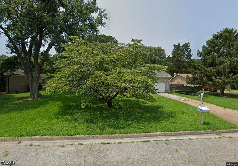
5878 Woodside Cir Portsmouth, VA 23703
Churchland NeighborhoodEstimated Value: $360,000 - $386,000
4
Beds
2
Baths
1,920
Sq Ft
$193/Sq Ft
Est. Value
About This Home
This home is located at 5878 Woodside Cir, Portsmouth, VA 23703 and is currently estimated at $371,260, approximately $193 per square foot. 5878 Woodside Cir is a home located in Portsmouth City with nearby schools including Churchland Primary/Intermediate School, Churchland Middle School, and Churchland High School.
Ownership History
Date
Name
Owned For
Owner Type
Purchase Details
Closed on
Nov 27, 2018
Sold by
Seward Michael D and Seward Janice H
Bought by
Buntz Wesley
Current Estimated Value
Home Financials for this Owner
Home Financials are based on the most recent Mortgage that was taken out on this home.
Original Mortgage
$236,060
Outstanding Balance
$207,159
Interest Rate
4.8%
Mortgage Type
FHA
Estimated Equity
$164,101
Create a Home Valuation Report for This Property
The Home Valuation Report is an in-depth analysis detailing your home's value as well as a comparison with similar homes in the area
Home Values in the Area
Average Home Value in this Area
Purchase History
| Date | Buyer | Sale Price | Title Company |
|---|---|---|---|
| Buntz Wesley | $245,000 | Priority Title & Escrow Llc |
Source: Public Records
Mortgage History
| Date | Status | Borrower | Loan Amount |
|---|---|---|---|
| Open | Buntz Wesley | $236,060 |
Source: Public Records
Tax History Compared to Growth
Tax History
| Year | Tax Paid | Tax Assessment Tax Assessment Total Assessment is a certain percentage of the fair market value that is determined by local assessors to be the total taxable value of land and additions on the property. | Land | Improvement |
|---|---|---|---|---|
| 2025 | $4,447 | $353,030 | $95,400 | $257,630 |
| 2024 | $4,447 | $347,640 | $95,400 | $252,240 |
| 2023 | $4,009 | $320,690 | $95,400 | $225,290 |
| 2022 | $3,705 | $285,030 | $79,500 | $205,530 |
| 2021 | $3,365 | $258,860 | $53,330 | $205,530 |
| 2020 | $3,332 | $256,320 | $50,790 | $205,530 |
| 2019 | $3,215 | $247,340 | $50,790 | $196,550 |
| 2018 | $3,215 | $247,340 | $50,790 | $196,550 |
| 2017 | $3,215 | $247,340 | $50,790 | $196,550 |
| 2016 | $3,215 | $247,340 | $50,790 | $196,550 |
| 2015 | $3,099 | $238,350 | $50,790 | $187,560 |
| 2014 | $3,013 | $237,260 | $50,790 | $186,470 |
Source: Public Records
Map
Nearby Homes
- 21 Windy Pines Crescent
- 4619 River Shore Rd
- 4444 Southampton Arch
- 4726 River Shore Rd
- 5833 Hawthorne Ln
- 5728 Hawthorne Ln
- 4224 Burnham Dr
- 8 Compass Ct
- 4232 Summerset Dr
- 6750 Burbage Landing Cir
- 5693 Rivermill Cir
- 4200 Quince Rd
- 4071 Long Point Blvd
- 6602 James Point Ct
- 17 Shoal Ct
- 5606 Gregory Ct
- 4100 Mayfair Way
- 5028 Bay Cir
- 6832 Ivanhoe Ct
- 4028 Swannanoa Dr
- 5882 Woodside Cir
- 5874 Woodside Cir
- 5874 Woodside Cir
- 5886 Woodside Cir
- 5858 Woodside Cir
- 4503 Twin Pines Rd
- 5854 Woodside Cir
- 4505 Twin Pines Rd
- 5862 Woodside Cir
- 4501 Twin Pines Rd
- 5850 Woodside Ln
- 4507 Twin Pines Rd
- 5870 Woodside Cir
- 5866 Woodside Cir
- 5846 Woodside Ln
- 4504 Raintree Ln
- 4509 Twin Pines Rd
- 4502 Raintree Ln
- 4506 Raintree Ln
- 4626 Southampton Arch