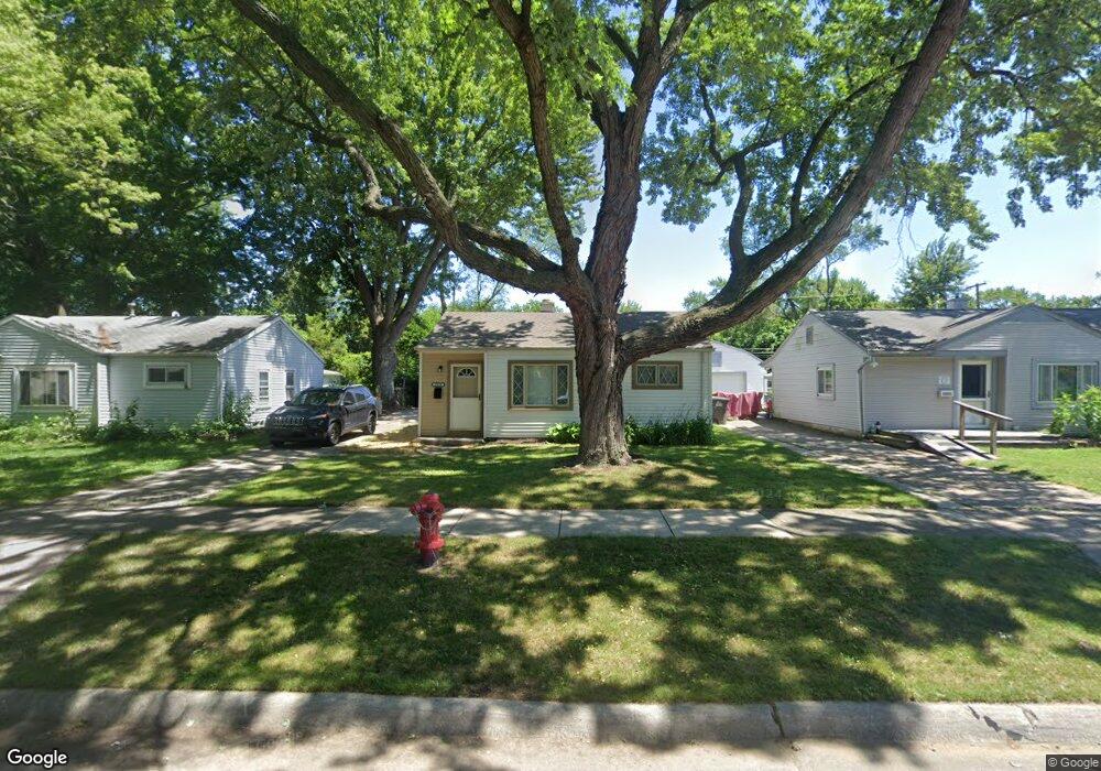
5879 Daniels St Unit Bldg-Unit Taylor, MI 48180
Estimated Value: $120,639 - $131,000
--
Bed
1
Bath
707
Sq Ft
$177/Sq Ft
Est. Value
About This Home
This home is located at 5879 Daniels St Unit Bldg-Unit, Taylor, MI 48180 and is currently estimated at $125,410, approximately $177 per square foot. 5879 Daniels St Unit Bldg-Unit is a home located in Wayne County with nearby schools including Holland Elementary School, Hoover Middle School, and Taylor High School.
Ownership History
Date
Name
Owned For
Owner Type
Purchase Details
Closed on
May 17, 2012
Sold by
Roberts Richard L and Roberts Marjorie A
Bought by
Empire Assets Llc
Current Estimated Value
Purchase Details
Closed on
Aug 23, 2007
Sold by
Flynn Leslee and Johnson Les R
Bought by
Berry Ii Llc
Purchase Details
Closed on
Aug 22, 2007
Sold by
Powondra Julie A and Papp Mary
Bought by
Roberts Richard L
Purchase Details
Closed on
Sep 10, 2006
Sold by
Quillen Grace E and Quillen Julie A
Bought by
Quillen Grace E
Create a Home Valuation Report for This Property
The Home Valuation Report is an in-depth analysis detailing your home's value as well as a comparison with similar homes in the area
Home Values in the Area
Average Home Value in this Area
Purchase History
| Date | Buyer | Sale Price | Title Company |
|---|---|---|---|
| Empire Assets Llc | $7,209 | None Available | |
| Berry Ii Llc | $98,800 | Multiple | |
| Roberts Richard L | $82,000 | Multiple | |
| Quillen Grace E | -- | Michigan Title Insurance Age |
Source: Public Records
Tax History Compared to Growth
Tax History
| Year | Tax Paid | Tax Assessment Tax Assessment Total Assessment is a certain percentage of the fair market value that is determined by local assessors to be the total taxable value of land and additions on the property. | Land | Improvement |
|---|---|---|---|---|
| 2025 | $1,313 | $52,100 | $0 | $0 |
| 2024 | $1,313 | $47,500 | $0 | $0 |
| 2023 | $1,496 | $40,500 | $0 | $0 |
| 2022 | $1,235 | $37,500 | $0 | $0 |
| 2021 | $1,333 | $32,000 | $0 | $0 |
| 2020 | $1,318 | $27,500 | $0 | $0 |
| 2019 | $130,681 | $23,600 | $0 | $0 |
| 2018 | $1,084 | $18,700 | $0 | $0 |
| 2017 | $435 | $18,400 | $0 | $0 |
| 2016 | $1,289 | $17,900 | $0 | $0 |
| 2015 | $1,720 | $17,200 | $0 | $0 |
| 2013 | $2,050 | $21,100 | $0 | $0 |
| 2012 | $881 | $20,900 | $9,400 | $11,500 |
Source: Public Records
Map
Nearby Homes
- 5526 Sylvia St
- 5970 John Daly St
- 5993 John Daly St
- 6211 Inkster Rd
- 6221 Inkster Rd
- 6368 Hazel St
- 6107 John Daly St
- 27523 Powers St
- 26532 Powers Ave
- 6370 Hampden St
- 4863 Glenis St
- 6075 Duncan St
- 6319 Duncan St
- 6179 Fellrath St
- 5961 Marvin St
- 26215 Beverly Rd
- 26106 Powers Ave
- 26225 McDonald St
- 6338 Marvin St
- 26439 Hopkins St
- 5879 Daniels St
- 5867 Daniels St
- 5891 Daniels St
- 5903 Daniels St
- 5880 Sylvia St
- 5864 Sylvia St
- 5894 Sylvia St
- 5915 Daniels St
- 5843 Daniels St
- 5852 Sylvia St
- 5910 Sylvia St
- 5866 Daniels St
- 5882 Daniels St
- 5840 Sylvia St
- 5924 Sylvia St
- 5927 Daniels St
- 5902 Daniels St
- 5831 Daniels St
- 5850 Daniels St Unit Bldg-Unit
- 5850 Daniels St