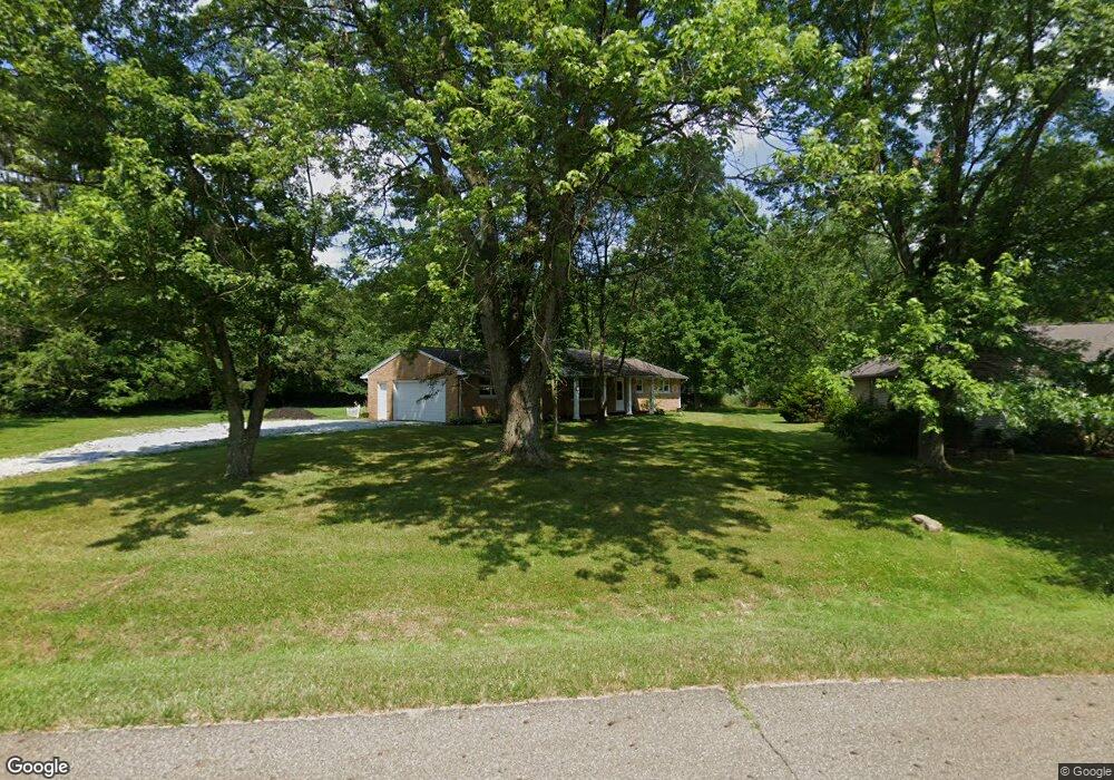
5879 Lasater St NW Canton, OH 44718
Glenmoor NeighborhoodEstimated Value: $213,000 - $261,000
3
Beds
2
Baths
1,323
Sq Ft
$181/Sq Ft
Est. Value
About This Home
This home is located at 5879 Lasater St NW, Canton, OH 44718 and is currently estimated at $238,987, approximately $180 per square foot. 5879 Lasater St NW is a home located in Stark County with nearby schools including Lake Cable Elementary School, Jackson Memorial Middle School, and Jackson High School.
Ownership History
Date
Name
Owned For
Owner Type
Purchase Details
Closed on
Apr 23, 1999
Sold by
Phillabaum Brett A and Phillabaum Deborah L
Bought by
Helline Gerald F and Helline Lori Lee
Current Estimated Value
Home Financials for this Owner
Home Financials are based on the most recent Mortgage that was taken out on this home.
Original Mortgage
$64,800
Outstanding Balance
$17,203
Interest Rate
7.62%
Estimated Equity
$221,784
Purchase Details
Closed on
Nov 28, 1994
Sold by
Phillabaum Gene O
Bought by
Phillabaum Brett A
Home Financials for this Owner
Home Financials are based on the most recent Mortgage that was taken out on this home.
Original Mortgage
$61,750
Interest Rate
9%
Mortgage Type
New Conventional
Purchase Details
Closed on
Feb 14, 1991
Create a Home Valuation Report for This Property
The Home Valuation Report is an in-depth analysis detailing your home's value as well as a comparison with similar homes in the area
Home Values in the Area
Average Home Value in this Area
Purchase History
| Date | Buyer | Sale Price | Title Company |
|---|---|---|---|
| Helline Gerald F | $81,000 | -- | |
| Phillabaum Brett A | $65,000 | -- | |
| -- | -- | -- |
Source: Public Records
Mortgage History
| Date | Status | Borrower | Loan Amount |
|---|---|---|---|
| Open | Helline Gerald F | $64,800 | |
| Closed | Phillabaum Brett A | $61,750 |
Source: Public Records
Tax History Compared to Growth
Tax History
| Year | Tax Paid | Tax Assessment Tax Assessment Total Assessment is a certain percentage of the fair market value that is determined by local assessors to be the total taxable value of land and additions on the property. | Land | Improvement |
|---|---|---|---|---|
| 2025 | -- | $57,690 | $22,790 | $34,900 |
| 2024 | -- | $57,690 | $22,790 | $34,900 |
| 2023 | $2,541 | $49,950 | $23,730 | $26,220 |
| 2022 | $2,531 | $49,950 | $23,730 | $26,220 |
| 2021 | $2,541 | $49,950 | $23,730 | $26,220 |
| 2020 | $2,346 | $42,390 | $20,480 | $21,910 |
| 2019 | $2,262 | $42,390 | $20,480 | $21,910 |
| 2018 | $2,282 | $42,390 | $20,480 | $21,910 |
| 2017 | $2,047 | $36,160 | $13,510 | $22,650 |
| 2016 | $2,061 | $36,160 | $13,510 | $22,650 |
| 2015 | $2,086 | $36,160 | $13,510 | $22,650 |
| 2014 | $1,922 | $31,830 | $11,910 | $19,920 |
| 2013 | $948 | $31,830 | $11,910 | $19,920 |
Source: Public Records
Map
Nearby Homes
- 5900 Lasater Dr NW
- 4696 Meadowview Dr NW
- 4710 Brunnerdale Ave NW
- 5957 Century St NW
- 4555 Millheim Cir NW
- 5011 West Blvd NW
- 0 Hollyhock Ave NW
- 4482 Edwin Dr NW
- 5055 West Blvd NW
- 4313 Skycrest Dr NW
- 4184 Meadowview Dr NW
- 4300 Skycrest Dr NW
- 4464 Edwin Dr NW
- 6263 Doral Dr NW
- 0 Armandale Ave NW Unit 5052422
- 0 Armandale Ave NW Unit 5052421
- 0 Armandale Ave NW Unit 5051954
- 4277 Skycrest Dr NW
- 0 Glengarry Ave NW Unit 5052417
- 0 Stoneywood Cir NW Unit 5051952
- 5879 Lasater Dr NW
- 5865 Lasater Dr NW
- 5900 Doris Cir NW
- 5901 Lasater Dr NW
- 5849 Lasater Dr NW
- 5923 Doris Cir NW
- 4733 Meadowview Dr NW
- 4717 Meadowview Dr NW
- 5825 Lasater Dr NW
- 5872 Lasater Dr NW
- 5890 Lasater Dr NW
- 5915 Lasater Dr NW
- 5945 Doris Cir NW
- 4695 Meadowview Dr NW
- 5912 Lasater Dr NW
- 5929 Doris Cir NW
- 4848 Brunnerdale Ave NW
- 4734 Meadowview Dr NW
- 4675 Meadowview Dr NW
- 5920 Lasater Dr NW