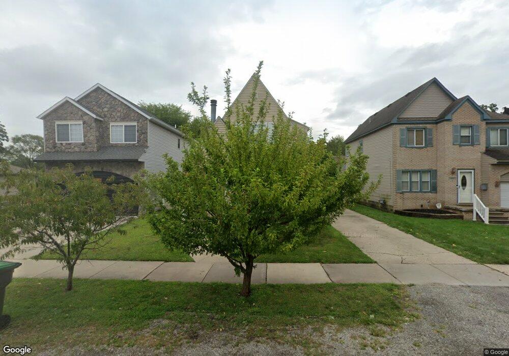
5879 Westpoint St Taylor, MI 48180
Estimated Value: $200,000 - $213,965
4
Beds
2
Baths
1,508
Sq Ft
$137/Sq Ft
Est. Value
About This Home
This home is located at 5879 Westpoint St, Taylor, MI 48180 and is currently estimated at $206,241, approximately $136 per square foot. 5879 Westpoint St is a home located in Wayne County with nearby schools including Taylor Parks Elementary School, Hoover Middle School, and Quest Charter Academy.
Ownership History
Date
Name
Owned For
Owner Type
Purchase Details
Closed on
Jan 18, 2024
Sold by
Debolt Gary Lee
Bought by
Debolt Christine Marie
Current Estimated Value
Purchase Details
Closed on
Sep 25, 2007
Sold by
Mortgage Electronic Registration Systems
Bought by
Lasalle Bank Na and Holders Of Bear Stearns Asset Backed Sec
Purchase Details
Closed on
Aug 22, 2007
Sold by
Nieman James and Nieman Kathryn D
Bought by
Mortgage Electronic Registration Systems
Create a Home Valuation Report for This Property
The Home Valuation Report is an in-depth analysis detailing your home's value as well as a comparison with similar homes in the area
Home Values in the Area
Average Home Value in this Area
Purchase History
| Date | Buyer | Sale Price | Title Company |
|---|---|---|---|
| Debolt Christine Marie | -- | None Listed On Document | |
| Lasalle Bank Na | -- | E Title Agency | |
| Mortgage Electronic Registration Systems | $80,000 | None Available |
Source: Public Records
Tax History Compared to Growth
Tax History
| Year | Tax Paid | Tax Assessment Tax Assessment Total Assessment is a certain percentage of the fair market value that is determined by local assessors to be the total taxable value of land and additions on the property. | Land | Improvement |
|---|---|---|---|---|
| 2025 | $2,113 | $99,600 | $0 | $0 |
| 2024 | $2,113 | $99,400 | $0 | $0 |
| 2023 | $2,520 | $92,900 | $0 | $0 |
| 2022 | $2,016 | $76,000 | $0 | $0 |
| 2021 | $2,215 | $68,100 | $0 | $0 |
| 2020 | $2,193 | $61,900 | $0 | $0 |
| 2019 | $219,223 | $59,400 | $0 | $0 |
| 2018 | $1,731 | $48,500 | $0 | $0 |
| 2017 | $928 | $46,400 | $0 | $0 |
| 2016 | $2,133 | $45,300 | $0 | $0 |
| 2015 | $3,912 | $41,600 | $0 | $0 |
| 2013 | $3,900 | $40,700 | $0 | $0 |
| 2012 | $1,752 | $40,100 | $8,900 | $31,200 |
Source: Public Records
Map
Nearby Homes
- 5689 Cornell St
- 5671 Syracuse St
- 5908 Pine St
- 24035 Currier St
- 5954 Pine St
- 24117 Eton Ave
- 24443 Powers Ave
- 4901 Cornell St
- 24360 Pennie St
- 24339 Eton Ave
- 23214 S Brookside Dr
- 6430 Banner St
- 4665 Syracuse St
- 6420 Burr St
- 6516 Oak St
- 4506 Syracuse St
- 4489 Westpoint St
- 6456 Birch St
- 4474 Syracuse St
- 6676 Syracuse St
- 5871 Westpoint St
- 5887 Westpoint St
- 5895 Westpoint St
- 5847 Westpoint St
- 5874 Cornell St
- 5894 Cornell St
- 5850 Cornell St
- 5858 Cornell St
- 5878 Westpoint St
- 5886 Westpoint St
- 5862 Westpoint St
- 5835 Westpoint St
- 5911 Westpoint St
- 5906 Cornell St
- 5846 Westpoint St
- 5906 Westpoint St
- 5926 Cornell St
- 5851 Cornell St
- 5889 Cornell St
- 5857 Telegraph Rd