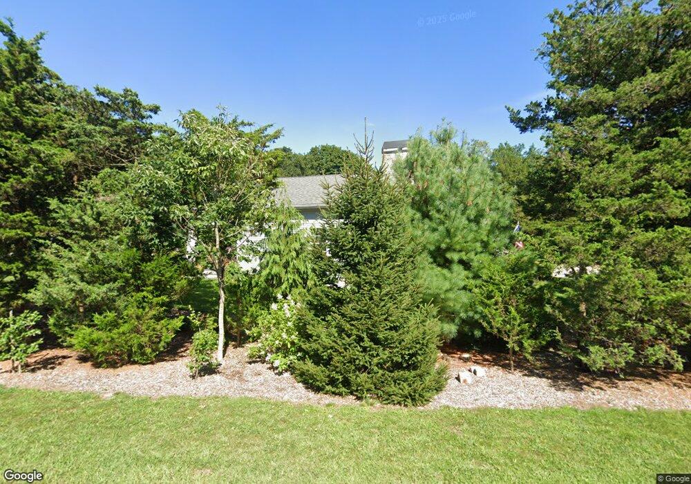
588 Adamsville Rd Westport, MA 02790
Westport Point NeighborhoodEstimated Value: $614,000 - $718,909
2
Beds
--
Bath
1,415
Sq Ft
$475/Sq Ft
Est. Value
About This Home
This home is located at 588 Adamsville Rd, Westport, MA 02790 and is currently estimated at $671,727, approximately $474 per square foot. 588 Adamsville Rd is a home with nearby schools including Alice A. Macomber Primary School, Westport Elementary School, and Westport Middle-High School.
Ownership History
Date
Name
Owned For
Owner Type
Purchase Details
Closed on
Nov 15, 2022
Sold by
Collins Robert F and Sterling Hope W
Bought by
Robert F Collins Ret
Current Estimated Value
Purchase Details
Closed on
Jan 14, 2016
Sold by
Ward Carol A
Bought by
Collins Robert and Sterling Hope W
Create a Home Valuation Report for This Property
The Home Valuation Report is an in-depth analysis detailing your home's value as well as a comparison with similar homes in the area
Home Values in the Area
Average Home Value in this Area
Purchase History
| Date | Buyer | Sale Price | Title Company |
|---|---|---|---|
| Robert F Collins Ret | -- | None Available | |
| Collins Robert | $150,000 | -- |
Source: Public Records
Tax History Compared to Growth
Tax History
| Year | Tax Paid | Tax Assessment Tax Assessment Total Assessment is a certain percentage of the fair market value that is determined by local assessors to be the total taxable value of land and additions on the property. | Land | Improvement |
|---|---|---|---|---|
| 2025 | $4,501 | $604,100 | $185,800 | $418,300 |
| 2024 | $4,521 | $584,900 | $172,200 | $412,700 |
| 2023 | $4,256 | $521,600 | $150,800 | $370,800 |
| 2022 | $3,904 | $466,600 | $150,800 | $315,800 |
| 2021 | $3,904 | $452,900 | $137,100 | $315,800 |
| 2020 | $3,772 | $447,400 | $131,600 | $315,800 |
| 2019 | $3,715 | $449,200 | $120,200 | $329,000 |
| 2018 | $3,150 | $385,600 | $126,500 | $259,100 |
| 2017 | $1,027 | $128,900 | $128,900 | $0 |
| 2016 | $1,058 | $133,800 | $133,800 | $0 |
| 2015 | $1,080 | $136,200 | $136,200 | $0 |
Source: Public Records
Map
Nearby Homes
- 17 Quail Trail
- 184 Field Stone Ln
- 116 Amy Hart Path
- 245 John Dyer Rd
- 90 Two Rod Rd
- 1346 Main Rd Unit B
- 101 Adamsville Rd
- 83 Long Hwy
- 0 S Lake Rd Unit 73361665
- 0 S Lake Rd Unit 1382842
- 0 S Lake Rd Unit 1400795
- 255 John Dyer Rd
- 837 Main Rd
- 1580 Main Rd
- 8 Village Way
- 15 Village Way
- 7 Village Way
- 505 Long Hwy
- 19 Seabury Ln
- 920 Drift Rd
- 8 Quail Trail
- 610 Adamsville Rd
- 592 Adamsville Rd
- 574 Adamsville Rd
- 1 Quail Trail
- 0 Quail Trail
- 634 & 638 Adamsville
- 570 Adamsville Rd
- 498 Cornell Rd
- 480 Cornell Rd
- 607 Adamsville Rd
- 476 Cornell Rd
- 564 Adamsville Rd
- 615 Adamsville Rd
- 11 Quail Trail
- 497 Cornell Rd
- 509 Cornell Rd
- 00 Cornell Rd
- 0 Cornell Rd