Estimated Value: $164,000 - $217,000
2
Beds
1
Bath
1,063
Sq Ft
$178/Sq Ft
Est. Value
About This Home
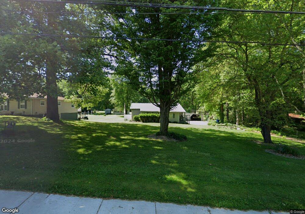
This home is located at 588 Moore Rd, Akron, OH 44319 and is currently estimated at $189,295, approximately $178 per square foot. 588 Moore Rd is a home located in Summit County with nearby schools including Greenwood Elementary School, Green Intermediate Elementary School, and Green Primary School.
Ownership History
Date
Name
Owned For
Owner Type
Purchase Details
Closed on
Apr 30, 2024
Sold by
Somerville Donald
Bought by
Somerville Shelly M
Current Estimated Value
Purchase Details
Closed on
Dec 6, 1996
Sold by
Nichols Hobart L
Bought by
Somerville Donald and Somerville Shelly M
Home Financials for this Owner
Home Financials are based on the most recent Mortgage that was taken out on this home.
Original Mortgage
$58,752
Interest Rate
7.91%
Mortgage Type
VA
Purchase Details
Closed on
Oct 4, 1994
Sold by
Est Flossie M Fox
Bought by
Nichols Hobart L and Weaver Christie J
Home Financials for this Owner
Home Financials are based on the most recent Mortgage that was taken out on this home.
Original Mortgage
$55,100
Interest Rate
8.6%
Mortgage Type
New Conventional
Create a Home Valuation Report for This Property
The Home Valuation Report is an in-depth analysis detailing your home's value as well as a comparison with similar homes in the area
Purchase History
| Date | Buyer | Sale Price | Title Company |
|---|---|---|---|
| Somerville Shelly M | -- | None Listed On Document | |
| Somerville Donald | $57,600 | -- | |
| Nichols Hobart L | $58,000 | -- |
Source: Public Records
Mortgage History
| Date | Status | Borrower | Loan Amount |
|---|---|---|---|
| Previous Owner | Somerville Donald | $58,752 | |
| Previous Owner | Nichols Hobart L | $55,100 |
Source: Public Records
Tax History
| Year | Tax Paid | Tax Assessment Tax Assessment Total Assessment is a certain percentage of the fair market value that is determined by local assessors to be the total taxable value of land and additions on the property. | Land | Improvement |
|---|---|---|---|---|
| 2025 | $2,913 | $60,683 | $21,161 | $39,522 |
| 2024 | $2,913 | $60,683 | $21,161 | $39,522 |
| 2023 | $2,913 | $60,683 | $21,161 | $39,522 |
| 2022 | $2,424 | $45,368 | $15,334 | $30,034 |
| 2021 | $2,276 | $45,368 | $15,334 | $30,034 |
| 2020 | $2,233 | $45,360 | $15,330 | $30,030 |
| 2019 | $1,667 | $31,720 | $17,690 | $14,030 |
| 2018 | $1,705 | $31,720 | $17,690 | $14,030 |
| 2017 | $1,722 | $31,720 | $17,690 | $14,030 |
| 2016 | $1,713 | $30,060 | $17,690 | $12,370 |
| 2015 | $1,722 | $30,060 | $17,690 | $12,370 |
| 2014 | $1,711 | $30,060 | $17,690 | $12,370 |
| 2013 | $1,793 | $31,270 | $17,690 | $13,580 |
Source: Public Records
Map
Nearby Homes
- 619 Moore Rd
- 3113 Sparrows Crest
- 368 Jarvis Rd
- 0 Fortuna Dr Unit 5005346
- 155 Moore Rd
- 111 Magua Dr
- 1086 Saint Andrew's Ct
- 3785 S Main St
- 3932 S Main St
- 1134 E Turkeyfoot Lake Rd
- 3612 Great Windsor Ln
- 747 Killian Rd
- 3618 Great Windsor Ln
- 1273 Muchney Cir
- 3624 Great Windsor Ln
- 3621 Great Windsor Ln
- 3639 Great Windsor Ln
- 3630 Great Windsor Ln
- 3239 Lakeway St
- 3633 Great Windsor Ln
- 598 Moore Rd
- 564 Moore Rd
- 608 Moore Rd
- 3258 Robins Trace
- 3257 Robins Terrace
- 3257 Robins Trace
- 628 Moore Rd
- 625 Moore Rd
- 3243 Robins Trace
- 3235 Robin's
- 3230 Robins Trace
- 3230 Robins Trace
- 553 Moore Rd
- 3235 Robins Trace
- 3227 Robins Trace
- 3222 Robins Trace
- 639 Moore Rd
- 648 Moore Rd
- 3488 Knolf Rd
- 547 Moore Rd Unit 7
Your Personal Tour Guide
Ask me questions while you tour the home.