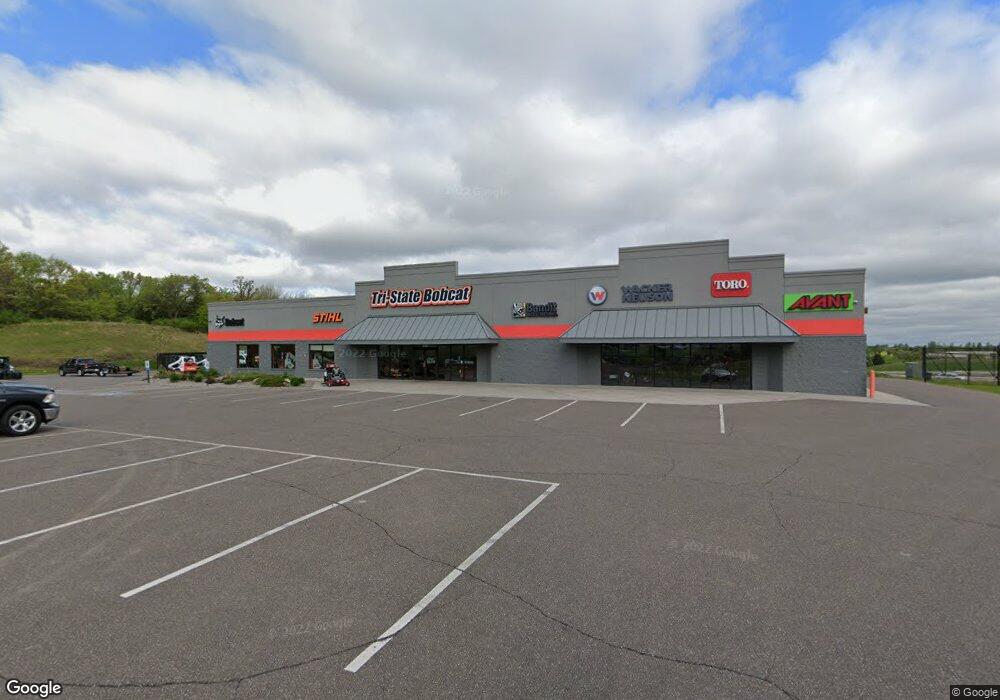
588 Outpost Cir Hudson, WI 54016
Estimated Value: $1,935,908
Studio
--
Bath
--
Sq Ft
188,615
Sq Ft Lot
About This Home
This home is located at 588 Outpost Cir, Hudson, WI 54016 and is currently priced at $1,935,908. 588 Outpost Cir is a home located in St. Croix County with nearby schools including River Crest Elementary School, Hudson Middle School, and Hudson High School.
Ownership History
Date
Name
Owned For
Owner Type
Purchase Details
Closed on
Aug 13, 2014
Sold by
Hendricks Investments Llc
Bought by
Quirks 588 Outpost Circle Llc
Current Estimated Value
Home Financials for this Owner
Home Financials are based on the most recent Mortgage that was taken out on this home.
Original Mortgage
$652,750
Outstanding Balance
$490,977
Interest Rate
4.14%
Mortgage Type
Future Advance Clause Open End Mortgage
Create a Home Valuation Report for This Property
The Home Valuation Report is an in-depth analysis detailing your home's value as well as a comparison with similar homes in the area
Home Values in the Area
Average Home Value in this Area
Purchase History
| Date | Buyer | Sale Price | Title Company |
|---|---|---|---|
| Quirks 588 Outpost Circle Llc | $932,500 | Land Title Inc |
Source: Public Records
Mortgage History
| Date | Status | Borrower | Loan Amount |
|---|---|---|---|
| Open | Quirks 588 Outpost Circle Llc | $652,750 |
Source: Public Records
Tax History
| Year | Tax Paid | Tax Assessment Tax Assessment Total Assessment is a certain percentage of the fair market value that is determined by local assessors to be the total taxable value of land and additions on the property. | Land | Improvement |
|---|---|---|---|---|
| 2025 | $16,336 | $1,488,200 | $475,200 | $1,013,000 |
| 2024 | $158 | $1,488,200 | $475,200 | $1,013,000 |
| 2023 | $18,638 | $1,488,200 | $475,200 | $1,013,000 |
| 2022 | $18,055 | $1,243,000 | $415,700 | $827,300 |
| 2021 | $17,486 | $1,243,000 | $415,700 | $827,300 |
| 2020 | $17,134 | $1,243,000 | $415,700 | $827,300 |
| 2019 | $16,478 | $1,243,000 | $415,700 | $827,300 |
| 2018 | $19,420 | $1,243,000 | $415,700 | $827,300 |
| 2017 | $17,979 | $1,081,900 | $373,700 | $708,200 |
| 2016 | $17,979 | $1,081,900 | $373,700 | $708,200 |
| 2015 | $15,818 | $1,059,000 | $373,700 | $685,300 |
Source: Public Records
Map
Nearby Homes
- 701 Rodeo Dr
- 671 Darnold Dr
- 665 Darnold Dr
- 740 Aldro Rd
- 640 Gilbert Rd
- 12 Palomino Ct
- 14 Palomino Ct
- 74 Stratford Way
- 127 Stratford Way Unit 6
- 28 Heritage Blvd
- 786 Harlar Cir
- 518 Pamela Ln
- 1204 54th St
- 529 Chapman Hills Ct
- xxx Crosby Dr
- XXX Gilbert Rd
- 117 Heirloom Ave
- 763 Hill Farm Rd
- 464 Stageline Rd
- 85 Deerwood Ct
- 592 Outpost Cir
- 589 Outpost Cir
- 595 Outpost Cir
- 703 Rodeo Dr
- 590 County Road N
- 566 County Road N
- 1231 U S 12
- 680 County Road U
- 707 Rodeo Dr Unit 709
- 707 Rodeo Dr
- 709 Rodeo Dr
- 552 Cty Rd N
- 585 County Road N
- 552 Cty Rd N--
- 604 County Road N
- 579 County Road N
- 564 County Road N
- 589 County Road N
- 702 Rodeo Dr
- 664 Bradhurst Rd
Your Personal Tour Guide
Ask me questions while you tour the home.