5883 Yankee Rd Liberty Township, OH 45044
Estimated Value: $492,000 - $574,533
4
Beds
3
Baths
2,036
Sq Ft
$258/Sq Ft
Est. Value
About This Home
This home is located at 5883 Yankee Rd, Liberty Township, OH 45044 and is currently estimated at $525,133, approximately $257 per square foot. 5883 Yankee Rd is a home located in Butler County with nearby schools including Independence Elementary School, Liberty Junior School, and Lakota East High School.
Ownership History
Date
Name
Owned For
Owner Type
Purchase Details
Closed on
May 22, 2008
Sold by
Pelletier Martha Ward
Bought by
Egloff Timothy M and Egloff Tracy L
Current Estimated Value
Home Financials for this Owner
Home Financials are based on the most recent Mortgage that was taken out on this home.
Original Mortgage
$182,000
Interest Rate
6.36%
Mortgage Type
Purchase Money Mortgage
Purchase Details
Closed on
Jan 15, 2001
Sold by
Pelletier Ronald R and Pelletier Martha Ward
Bought by
Pelletier Ronald R and Pelletier Martha Ward
Create a Home Valuation Report for This Property
The Home Valuation Report is an in-depth analysis detailing your home's value as well as a comparison with similar homes in the area
Home Values in the Area
Average Home Value in this Area
Purchase History
| Date | Buyer | Sale Price | Title Company |
|---|---|---|---|
| Egloff Timothy M | $260,000 | First Title Agency | |
| Pelletier Ronald R | -- | -- |
Source: Public Records
Mortgage History
| Date | Status | Borrower | Loan Amount |
|---|---|---|---|
| Previous Owner | Egloff Timothy M | $182,000 |
Source: Public Records
Tax History Compared to Growth
Tax History
| Year | Tax Paid | Tax Assessment Tax Assessment Total Assessment is a certain percentage of the fair market value that is determined by local assessors to be the total taxable value of land and additions on the property. | Land | Improvement |
|---|---|---|---|---|
| 2024 | $5,190 | $132,590 | $37,800 | $94,790 |
| 2023 | $5,126 | $132,590 | $37,800 | $94,790 |
| 2022 | $5,109 | $103,420 | $37,800 | $65,620 |
| 2021 | $5,082 | $103,420 | $37,800 | $65,620 |
| 2020 | $5,214 | $103,420 | $37,800 | $65,620 |
| 2019 | $8,699 | $90,300 | $37,800 | $52,500 |
| 2018 | $5,089 | $90,300 | $37,800 | $52,500 |
| 2017 | $5,187 | $90,300 | $37,800 | $52,500 |
| 2016 | $4,806 | $83,110 | $37,800 | $45,310 |
| 2015 | $4,770 | $82,390 | $37,800 | $44,590 |
| 2014 | $4,951 | $82,390 | $37,800 | $44,590 |
| 2013 | $4,951 | $82,710 | $36,400 | $46,310 |
Source: Public Records
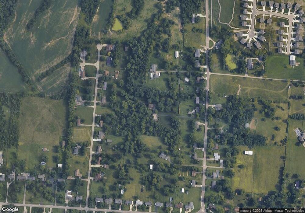
Map
Nearby Homes
- 6919 Millikin Rd
- 7113 Shady Brook Bend
- 5933 Old Pebble Path
- 7108 Shady Brook Bend
- 7120 Shady Brook Bend
- 5913 Stones Throw Way
- 5725 Hawthrone Reserve Dr
- 6777 Mahogany Ct
- 6816 Devon Dr
- 6300 Lindsey Ct
- 7377 Burton Dr
- 5502 Rodeo Dr
- 7095 Kyles Station Rd
- 6872 Fox Trot Ct
- 6551 Lucky Ln
- 7221 Kyles Station Rd
- 6466 Winding Oaks Dr
- 5602 Schlade Ct
- 6534 Justess Ln
- 7497 Burton Dr