Estimated Value: $441,000 - $476,000
4
Beds
3
Baths
1,956
Sq Ft
$233/Sq Ft
Est. Value
About This Home
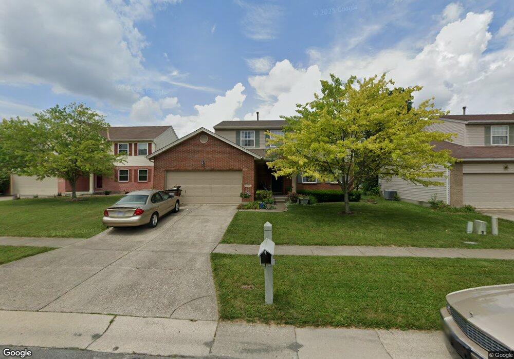
This home is located at 5884 Stone Trace Dr, Mason, OH 45040 and is currently estimated at $455,105, approximately $232 per square foot. 5884 Stone Trace Dr is a home located in Warren County with nearby schools including Mason Intermediate Elementary School, Mason Middle School, and William Mason High School.
Ownership History
Date
Name
Owned For
Owner Type
Purchase Details
Closed on
Dec 2, 1997
Sold by
Dixon Builders & Dev Inc
Bought by
Patricia James G and Patricia Weingartner
Current Estimated Value
Home Financials for this Owner
Home Financials are based on the most recent Mortgage that was taken out on this home.
Original Mortgage
$132,100
Outstanding Balance
$19,149
Interest Rate
7.63%
Mortgage Type
New Conventional
Estimated Equity
$435,956
Create a Home Valuation Report for This Property
The Home Valuation Report is an in-depth analysis detailing your home's value as well as a comparison with similar homes in the area
Home Values in the Area
Average Home Value in this Area
Purchase History
| Date | Buyer | Sale Price | Title Company |
|---|---|---|---|
| Patricia James G | $146,815 | -- |
Source: Public Records
Mortgage History
| Date | Status | Borrower | Loan Amount |
|---|---|---|---|
| Open | Patricia James G | $132,100 |
Source: Public Records
Tax History
| Year | Tax Paid | Tax Assessment Tax Assessment Total Assessment is a certain percentage of the fair market value that is determined by local assessors to be the total taxable value of land and additions on the property. | Land | Improvement |
|---|---|---|---|---|
| 2025 | $5,183 | $120,860 | $35,000 | $85,860 |
| 2024 | $5,183 | $120,860 | $35,000 | $85,860 |
| 2023 | $4,884 | $93,929 | $19,057 | $74,872 |
| 2022 | $4,798 | $93,930 | $19,058 | $74,872 |
| 2021 | $4,565 | $93,930 | $19,058 | $74,872 |
| 2020 | $4,443 | $77,627 | $15,750 | $61,877 |
| 2019 | $4,118 | $77,627 | $15,750 | $61,877 |
| 2018 | $4,099 | $77,627 | $15,750 | $61,877 |
| 2017 | $3,979 | $68,894 | $15,967 | $52,927 |
| 2016 | $4,090 | $68,894 | $15,967 | $52,927 |
| 2015 | $3,794 | $68,894 | $15,967 | $52,927 |
| 2014 | $3,794 | $59,390 | $13,770 | $45,630 |
| 2013 | $3,802 | $67,950 | $15,750 | $52,200 |
Source: Public Records
Map
Nearby Homes
- 5661 Harbourside Dr
- 5369 N Shore Place
- 6285 Greenwood Ct
- 6291 Greenwood Ct
- 6266 Trailwood Ct
- 5576 Winding Cape Way
- 6418 Sherman Terrace Rd
- 6304 Trailwood Ct
- 8845 Suncrest Ln
- 8588 Charleston Creek Dr
- Winslow Plan at Losh Landing - Masterpiece Collection
- Paxton Plan at Losh Landing - Masterpiece Collection
- Huxley Plan at Losh Landing - Masterpiece Collection
- Pearson Plan at Losh Landing - Masterpiece Collection
- Beckett Plan at Losh Landing - Masterpiece Collection
- Leland Plan at Losh Landing - Masterpiece Collection
- Clay Plan at Losh Landing - Masterpiece Collection
- Mitchell Plan at Losh Landing - Masterpiece Collection
- Margot Plan at Losh Landing - Masterpiece Collection
- Teagan Plan at Losh Landing - Masterpiece Collection
- 5894 Stone Trace Dr
- 5876 Stone Trace Dr
- 5868 Stone Trace Dr
- 5902 Stone Trace Dr
- 5869 Windwood Ct
- 5881 Windwood Ct
- 5857 Windwood Ct
- 5889 Windwood Ct
- 5885 Stone Trace Dr
- 5847 Windwood Ct
- 5893 Stone Trace Dr
- 5877 Stone Trace Dr
- 5860 Stone Trace Dr
- 5906 Stone Trace Dr
- 5867 Stone Trace Dr
- 5901 Stone Trace Dr
- 5835 Windwood Ct
- 5908 Stone Trace Dr
- 5859 Stone Trace Dr
- 5895 Windwood Ct
Your Personal Tour Guide
Ask me questions while you tour the home.