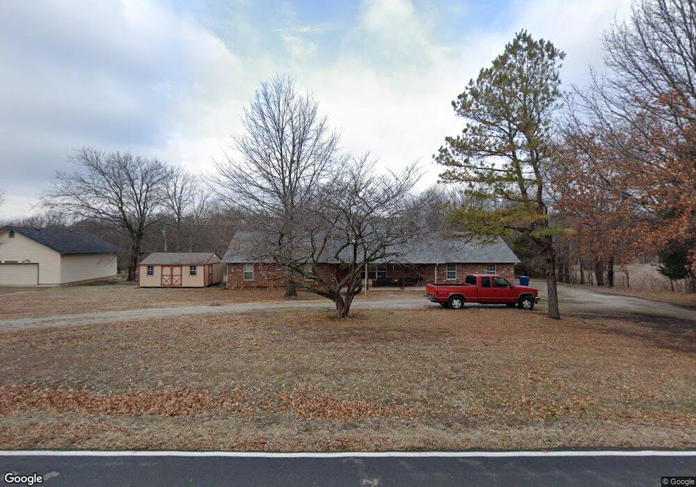
5887 E 480 Rd Claremore, OK 74019
Estimated Value: $281,000 - $293,000
3
Beds
2
Baths
1,798
Sq Ft
$159/Sq Ft
Est. Value
About This Home
This home is located at 5887 E 480 Rd, Claremore, OK 74019 and is currently estimated at $286,730, approximately $159 per square foot. 5887 E 480 Rd is a home located in Rogers County with nearby schools including Stone Canyon Elementary School, Owasso 6th Grade Center, and Owasso 8th Grade Center.
Ownership History
Date
Name
Owned For
Owner Type
Purchase Details
Closed on
Oct 19, 2020
Sold by
Merril Troy D and Merril Tammy
Bought by
Merril Tammy
Current Estimated Value
Home Financials for this Owner
Home Financials are based on the most recent Mortgage that was taken out on this home.
Original Mortgage
$149,775
Outstanding Balance
$105,638
Interest Rate
2.7%
Mortgage Type
FHA
Estimated Equity
$181,092
Purchase Details
Closed on
Feb 16, 2003
Sold by
Richardson Janis L
Bought by
Merrill Troy D
Create a Home Valuation Report for This Property
The Home Valuation Report is an in-depth analysis detailing your home's value as well as a comparison with similar homes in the area
Purchase History
| Date | Buyer | Sale Price | Title Company |
|---|---|---|---|
| Merril Tammy | -- | Amrock Inc | |
| Merrill Troy D | $145,000 | -- |
Source: Public Records
Mortgage History
| Date | Status | Borrower | Loan Amount |
|---|---|---|---|
| Open | Merril Tammy | $149,775 |
Source: Public Records
Tax History
| Year | Tax Paid | Tax Assessment Tax Assessment Total Assessment is a certain percentage of the fair market value that is determined by local assessors to be the total taxable value of land and additions on the property. | Land | Improvement |
|---|---|---|---|---|
| 2025 | $2,201 | $21,185 | $3,686 | $17,499 |
| 2024 | $2,174 | $20,568 | $3,579 | $16,989 |
| 2023 | $2,174 | $19,968 | $3,300 | $16,668 |
| 2022 | $2,100 | $19,580 | $3,300 | $16,280 |
| 2021 | $2,062 | $19,446 | $3,300 | $16,146 |
| 2020 | $2,024 | $19,510 | $3,300 | $16,210 |
| 2019 | $1,964 | $18,573 | $3,300 | $15,273 |
| 2018 | $1,940 | $18,942 | $3,300 | $15,642 |
| 2017 | $1,941 | $18,791 | $3,300 | $15,491 |
| 2016 | $1,894 | $18,332 | $3,300 | $15,032 |
| 2015 | $1,864 | $17,948 | $3,300 | $14,648 |
| 2014 | $1,860 | $17,776 | $3,300 | $14,476 |
Source: Public Records
Map
Nearby Homes
- 6025 E Highway 20
- 6 Canyon View Dr
- 20775 S Skyline View Rd
- 6133 E Engelmann St
- 4728 E Hwy 20
- 20706 S Concord Ave
- 20823 S Concord Ave
- 20624 S Brentwood Ave
- 5225 E Norwood St
- 20903 S Richmond Ave
- 20925 S Windsor Ave
- 5226 E Madison St
- 5207 E Brookhaven St
- 19271 S 4079 Rd
- 5163 E Hickory Hollow Dr
- 18466 S Ash Rd
- 4980 E Chestnut Dr
- 11738 N 194th East Ave
- 20807 River Bend Dr
- 12047 N 193rd East Ave
- 5865 E 480 Rd
- 5935 E 480 Rd
- 5855 E 480 Rd
- 5914 E Hunter Ln
- 5902 E 480 Rd
- 5842 E 480 Rd
- 5982 E 480 Rd
- 5942 E Hunter Ln
- 5836 E Hunter Ln
- 5976 E Hunter Ln
- 0 E Hunter Ln Unit 1705109
- 0 E Hunter Ln Unit 1627491
- 0 E Hunter Ln Unit 1551620
- 0 E Hunter Ln Unit 1541324
- 5795 E 480 Rd
- 5805 E Hunter Ln
- 5994 E 480 Rd
- 5762 E Hunter Ln
- 22224 S Covey Ct
Your Personal Tour Guide
Ask me questions while you tour the home.