5887 Highway 101 Woodruff, SC 29388
Estimated Value: $259,000 - $1,786,064
2
Beds
2
Baths
1,160
Sq Ft
$881/Sq Ft
Est. Value
About This Home
This home is located at 5887 Highway 101, Woodruff, SC 29388 and is currently estimated at $1,022,532, approximately $881 per square foot. 5887 Highway 101 is a home with nearby schools including Woodruff Primary School, Woodruff Elementary School, and Woodruff Middle School.
Ownership History
Date
Name
Owned For
Owner Type
Purchase Details
Closed on
Feb 25, 2021
Sold by
Stragne Properties 5 Llc
Bought by
Bowman Caleb Andrew and Bowman Melodie S
Current Estimated Value
Purchase Details
Closed on
Sep 12, 2005
Sold by
Strange Ronnie L and Strange Annie H
Bought by
Strange Properties #5 Llc
Purchase Details
Closed on
May 9, 2005
Sold by
Strange Ronnie L and Strange Annie H
Bought by
Jackson Henry F and Jackson Betty J
Purchase Details
Closed on
Oct 31, 2003
Sold by
Strange Ronnie L and Strange Annie H
Bought by
Bowman Joe D and Bowman Melodie S
Create a Home Valuation Report for This Property
The Home Valuation Report is an in-depth analysis detailing your home's value as well as a comparison with similar homes in the area
Home Values in the Area
Average Home Value in this Area
Purchase History
| Date | Buyer | Sale Price | Title Company |
|---|---|---|---|
| Bowman Caleb Andrew | -- | None Available | |
| Strange Properties #5 Llc | -- | -- | |
| Strange Ronnie L | -- | -- | |
| Jackson Henry F | $11,500 | -- | |
| Bowman Joe D | -- | -- |
Source: Public Records
Tax History Compared to Growth
Tax History
| Year | Tax Paid | Tax Assessment Tax Assessment Total Assessment is a certain percentage of the fair market value that is determined by local assessors to be the total taxable value of land and additions on the property. | Land | Improvement |
|---|---|---|---|---|
| 2025 | $7,740 | $20,766 | $1,138 | $19,628 |
| 2024 | $7,740 | $20,766 | $1,138 | $19,628 |
| 2023 | $7,740 | $20,766 | $1,138 | $19,628 |
| 2022 | $6,651 | $18,166 | $1,084 | $17,082 |
| 2021 | $6,743 | $18,342 | $1,084 | $17,258 |
| 2020 | $7,300 | $20,486 | $1,042 | $19,444 |
| 2019 | $7,300 | $20,486 | $1,042 | $19,444 |
| 2018 | $7,352 | $21,392 | $1,053 | $20,339 |
| 2017 | $6,336 | $17,896 | $994 | $16,902 |
| 2016 | $6,352 | $17,896 | $994 | $16,902 |
| 2015 | $6,322 | $17,901 | $999 | $16,902 |
| 2014 | $6,311 | $17,901 | $999 | $16,902 |
Source: Public Records
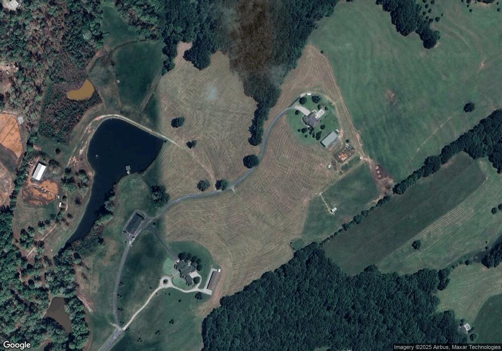
Map
Nearby Homes
- 441 Haddon Trail
- 433 Haddon Trail
- 462 Haddon Trail
- 429 Haddon Trail
- 434 Haddon Trail
- 461 Haddon Trail
- 465 Haddon Trail
- 466 Haddon Trail
- 457 Haddon Trail
- 453 Haddon Trail
- 458 Haddon Trail
- 449 Haddon Trail
- 454 Haddon Trail
- 450 Haddon Trail
- 445 Haddon Trail
- 446 Haddon Trail
- 442 Haddon Trail
- 437 Haddon Trail
- 438 Haddon Trail
- 430 Haddon Trail
- 5895 Highway 101
- 549 Woodcot Dr
- 5883 Highway 101
- 558 Woodcot Dr
- 5891 Highway 101
- 2999 Pretoria Dr
- 263 Pertoria Dr
- 259 Pertoria Dr
- 263 Pretoria Dr
- 267 Pretoria Dr
- 1120 Greenpond Rd
- 413 Haddon Trace
- 303 Pretoria Dr
- 1126 Greenpond Rd
- 589 Woodcot Dr
- 1132 Greenpond Rd
- 1222 Greenpond Rd
- 204 Pretoria Dr Unit 36897668
- 204 Pretoria Dr Unit 36897671
- 204 Pretoria Dr Unit 36897627