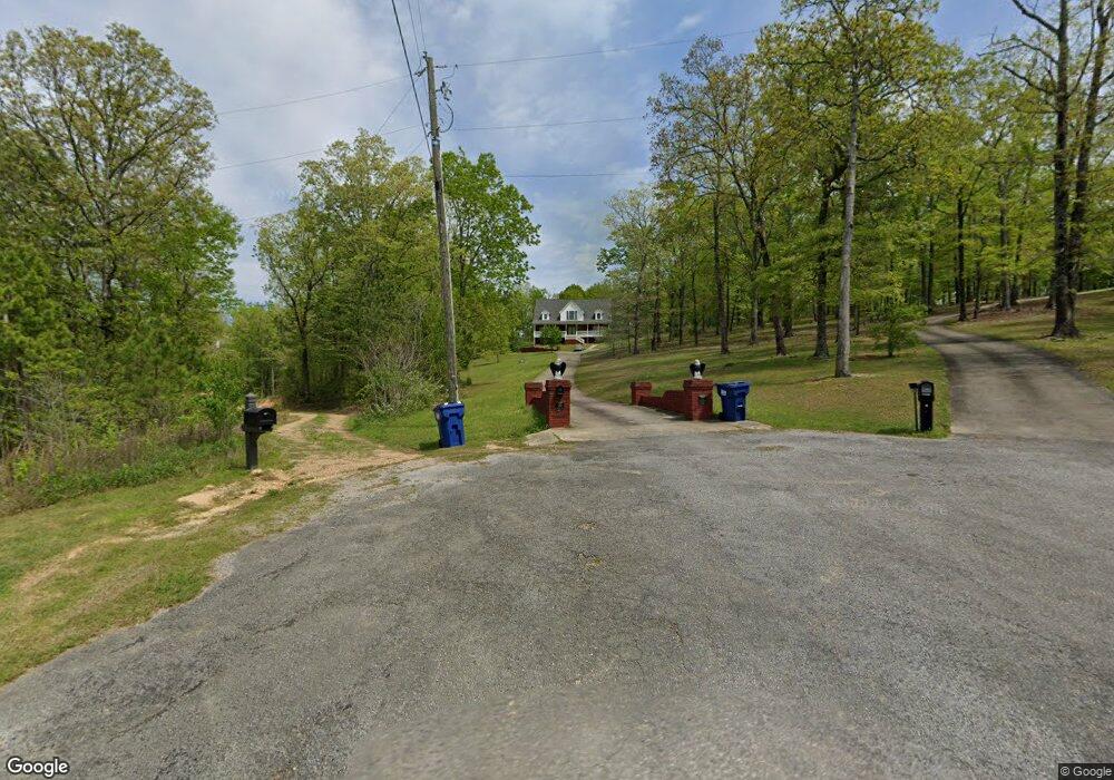
589 Aubra Rd Steele, AL 35987
Estimated Value: $442,403 - $745,000
Studio
3
Baths
3,591
Sq Ft
$160/Sq Ft
Est. Value
About This Home
This home is located at 589 Aubra Rd, Steele, AL 35987 and is currently estimated at $576,101, approximately $160 per square foot. 589 Aubra Rd is a home located in St. Clair County with nearby schools including Steele Elementary School and Ashville High School.
Ownership History
Date
Name
Owned For
Owner Type
Purchase Details
Closed on
Aug 30, 2011
Sold by
King Lorie and Harrison Brett
Bought by
Harrison Brett and Harrison Lorie
Current Estimated Value
Create a Home Valuation Report for This Property
The Home Valuation Report is an in-depth analysis detailing your home's value as well as a comparison with similar homes in the area
Home Values in the Area
Average Home Value in this Area
Purchase History
| Date | Buyer | Sale Price | Title Company |
|---|---|---|---|
| Harrison Brett | $500 | -- |
Source: Public Records
Tax History
| Year | Tax Paid | Tax Assessment Tax Assessment Total Assessment is a certain percentage of the fair market value that is determined by local assessors to be the total taxable value of land and additions on the property. | Land | Improvement |
|---|---|---|---|---|
| 2024 | $1,237 | $82,880 | $5,100 | $77,780 |
| 2023 | $1,237 | $82,880 | $5,100 | $77,780 |
| 2022 | $1,026 | $34,634 | $2,900 | $31,734 |
| 2021 | $1,026 | $34,634 | $2,900 | $31,734 |
| 2020 | $1,026 | $34,634 | $2,900 | $31,734 |
| 2019 | $1,026 | $34,634 | $2,900 | $31,734 |
| 2018 | $1,003 | $33,900 | $0 | $0 |
| 2017 | $1,028 | $33,900 | $0 | $0 |
| 2016 | $1,003 | $33,900 | $0 | $0 |
| 2015 | $1,028 | $33,900 | $0 | $0 |
| 2014 | $1,028 | $34,700 | $0 | $0 |
Source: Public Records
Map
Nearby Homes
- 140 Aubra Rd
- 3074 Beason Cove Rd
- 0 Highway 11 Unit 21427361
- 0 Legion Dr Unit 893391
- 0 Legion Dr Unit 19987726
- 15 Dorough St
- 61 Hartsfield Dr
- 0 County Road 42 Unit 26157833
- 0 County Road 42 Unit 21442134
- 0 Sumatanga Rd
- 145 Cross Creek Ln
- 0 Sweatt Rd Unit 21415006
- 32960 US Highway 411
- 36240 US Hwy 231
- 3649 Pope Ave
- 38.1 acres Steele Station Rd
- 115 Canoe Dr
- 0 US Hwy 231 Unit 21398012
- 0 US Hwy 231 Unit 21438521
- 0 Pine St
- 587 Aubra Rd
- 588 Aubra Rd
- 531 Aubra Rd
- 138 Cross Creek Dr
- 373 Brown Hill Rd
- 493 Brown Hill Rd
- 0 Cross Creek Dr Unit 7&8 1277699
- 249 Brown Hill Rd
- 155 Cross Creek Dr Unit 7
- 449 Aubra Rd
- 449 Aubra Rd
- 121 Cross Creek Dr
- 261 Brown Hill Rd
- 16 Evelyn Dr
- 504 Aubra Rd
- 0 Aubra Rd Unit 380682
- 0 Aubra Rd Unit 475342
- 0 Aubra Rd Unit 626393
- 0 Evelyn Dr Unit 37 482718
- 0 Evelyn Dr Unit 36 482686
Your Personal Tour Guide
Ask me questions while you tour the home.