Estimated Value: $264,000 - $510,639
About This Home
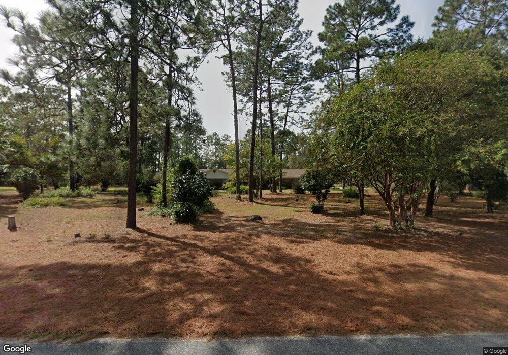
This home is located at 589 Cameron Rd, Jesup, GA 31545 and is currently estimated at $379,910, approximately $195 per square foot. 589 Cameron Rd is a home located in Wayne County with nearby schools including Bacon Elementary School, Martha Puckett Middle School, and Wayne County High School.
Ownership History
We collect this data history from publicly available records. To have your information removed, we recommend requesting removal directly through your county’s website.
Purchase Details
Home Financials for this Owner
Home Financials are based on the most recent Mortgage that was taken out on this home.Purchase Details
Purchase Details
Purchase Details
Purchase Details
Purchase Details
Purchase History
We collect this data history from publicly available records. To have your information removed, we recommend requesting removal directly through your county’s website.
| Date | Buyer | Sale Price | Title Company |
|---|---|---|---|
| $133,400 | -- | ||
| -- | -- | ||
| -- | -- | ||
| -- | -- | ||
| -- | -- | ||
| -- | -- | ||
| -- | -- | ||
| -- | -- | ||
| -- | -- |
Mortgage History
We collect this data history from publicly available records. To have your information removed, we recommend requesting removal directly through your county’s website.
| Date | Status | Borrower | Loan Amount |
|---|---|---|---|
| Open | $38,550 |
Tax History
We collect this data history from publicly available records. To have your information removed, we recommend requesting removal directly through your county’s website.
| Year | Tax Paid | Tax Assessment Tax Assessment Total Assessment is a certain percentage of the fair market value that is determined by local assessors to be the total taxable value of land and additions on the property. | Land | Improvement |
|---|---|---|---|---|
| 2025 | $1,398 | $159,194 | $64,016 | $95,178 |
| 2024 | $1,265 | $156,428 | $64,016 | $92,412 |
| 2023 | $4,397 | $146,550 | $64,016 | $82,534 |
| 2022 | $2,493 | $132,720 | $64,016 | $68,704 |
| 2021 | $2,401 | $125,094 | $64,016 | $61,078 |
| 2020 | $2,563 | $124,611 | $63,533 | $61,078 |
| 2019 | $2,628 | $124,611 | $63,533 | $61,078 |
| 2018 | $2,617 | $124,611 | $63,533 | $61,078 |
| 2017 | $2,222 | $122,530 | $61,452 | $61,078 |
| 2016 | $2,137 | $122,529 | $61,452 | $61,078 |
| 2014 | $2,137 | $130,226 | $69,149 | $61,078 |
| 2013 | -- | $61,077 | $0 | $61,077 |
Map
- 897 Empire Rd
- 0 S First St Unit 166649
- 0 S First St Unit 1661082
- 137 Turpentine Cir
- 71 Jamies Way
- 3808 Waycross Hwy
- 0 S Ga Hwy 341 Unit SA348876
- 351&353 Thurmon Loop Rd
- 0 S Ga Hwy 341 Unit 10692021
- 675 Foxwood Cir
- Lot 4 Waycross Hwy
- 243 Charlton St
- 210 Sugar Maple St
- TRACT 1 Sunset Blvd
- 00 Sunset Blvd
- TRACT 2 Sunset Blvd
- 0 Sunset Blvd
- 185 Pierce St
- 168 Pierce St
- 121 Glynn St
- 631 Cameron Rd
- 592 Cameron Rd
- 624 Cameron Rd
- 535 Cameron Rd
- 669 Empire Rd
- 550 Cameron Rd
- 583 Empire Rd
- 520 Cameron Rd
- 762 Empire Rd
- 470 Cameron Rd
- 628 Empire Rd
- 710 Empire Rd
- 75 Norris Dr
- 375 Cameron Rd
- 375 Cameron Rd
- 100 Norris Dr
- 817 Empire Rd
- 400 Cameron Rd
- 865 Empire Rd
- 44 Flint Branch Church Rd
Ask me questions while you tour the home.