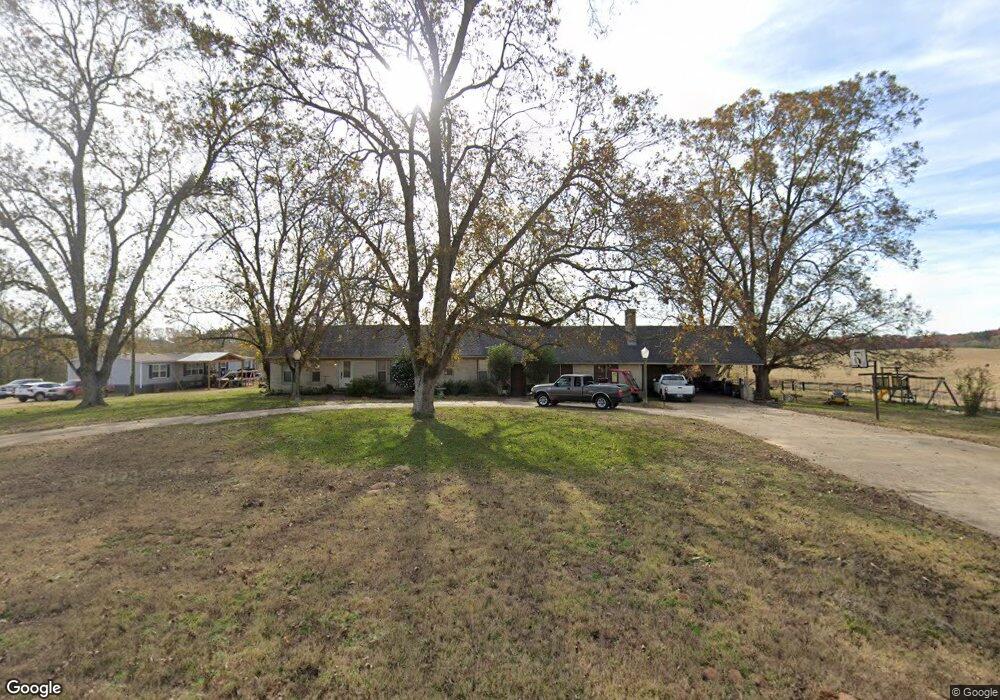
589 Dugdale Rd Choudrant, LA 71227
Estimated Value: $223,000 - $308,000
Studio
--
Bath
2,444
Sq Ft
$103/Sq Ft
Est. Value
About This Home
This home is located at 589 Dugdale Rd, Choudrant, LA 71227 and is currently estimated at $252,090, approximately $103 per square foot. 589 Dugdale Rd is a home located in Lincoln Parish with nearby schools including Choudrant Elementary School, Choudrant High School, and Ruston Junior High School.
Ownership History
Date
Name
Owned For
Owner Type
Purchase Details
Closed on
Feb 23, 2011
Sold by
Nunn Ferguson Matthew David and Nunn Ferguson Nora Kay
Bought by
Nunn Ferguson Matthew David and Nunn Ferguson Nora Kay
Current Estimated Value
Home Financials for this Owner
Home Financials are based on the most recent Mortgage that was taken out on this home.
Original Mortgage
$83,000
Interest Rate
4.85%
Mortgage Type
New Conventional
Create a Home Valuation Report for This Property
The Home Valuation Report is an in-depth analysis detailing your home's value as well as a comparison with similar homes in the area
Purchase History
| Date | Buyer | Sale Price | Title Company |
|---|---|---|---|
| Nunn Ferguson Matthew David | -- | None Available |
Source: Public Records
Mortgage History
| Date | Status | Borrower | Loan Amount |
|---|---|---|---|
| Closed | Nunn Ferguson Matthew David | $83,000 |
Source: Public Records
Tax History
| Year | Tax Paid | Tax Assessment Tax Assessment Total Assessment is a certain percentage of the fair market value that is determined by local assessors to be the total taxable value of land and additions on the property. | Land | Improvement |
|---|---|---|---|---|
| 2025 | $1,641 | $20,310 | $1,150 | $19,160 |
| 2024 | $1,641 | $20,310 | $1,150 | $19,160 |
| 2023 | $1,354 | $15,947 | $1,000 | $14,947 |
| 2022 | $1,345 | $15,947 | $1,000 | $14,947 |
| 2021 | $1,324 | $15,947 | $1,000 | $14,947 |
| 2020 | $1,327 | $15,947 | $1,000 | $14,947 |
| 2019 | $1,345 | $15,947 | $1,000 | $14,947 |
| 2018 | $1,346 | $15,947 | $1,000 | $14,947 |
| 2017 | $1,349 | $15,947 | $1,000 | $14,947 |
| 2016 | $1,376 | $0 | $0 | $0 |
| 2015 | $1,155 | $12,251 | $675 | $11,576 |
| 2013 | $1,171 | $12,251 | $675 | $11,576 |
Source: Public Records
Map
Nearby Homes
- 171 Roach Rd
- 0 Oak Tree Rd
- 929 Highway 145
- 0 Par Road 41
- 120 Hill Creek Dr
- 220 Crestview Dr
- 120 Lanes End Dr
- 448 Loblolly Ln
- 1061 Whitehead Rd
- 120 Douglas Ln
- 546 Louisiana 145
- 522 Louisiana 145
- 165 Loblolly Ln
- 281 Williams Rd
- 1094 Roach Rd
- 00 Par Road 43
- 396 Louisiana 145 Unit 406 Highway 145, 40
- 643 Patterson Rd
- 525 Patterson Rd
- 201 Vintage Ln
- 517 Dugdale Rd
- 540 Dugdale Rd
- 699 Dugdale Rd
- 721 Dugdale Rd
- 454 Dugdale Rd
- 2221 Whitehead Rd
- 751 Dugdale Rd
- 2326 Whitehead Rd
- 2159 Whitehead Rd
- 2369 Whitehead Rd
- 000 Whitehead Rd
- 2131 Whitehead Rd
- 2389 Whitehead Rd
- 2266 Whitehead Rd
- 0 Whitehead Rd Unit 193906
- 0 Whitehead Rd
- 2164 Whitehead Rd
- 2390 Whitehead Rd
- 2140 Whitehead Rd
- 2097 Whitehead Rd
Your Personal Tour Guide
Ask me questions while you tour the home.