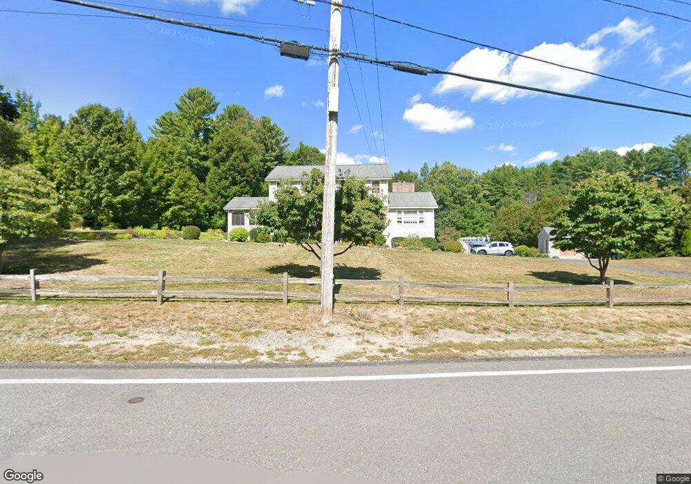
589 Main St Dunstable, MA 01827
Estimated Value: $726,167 - $800,000
4
Beds
3
Baths
2,072
Sq Ft
$373/Sq Ft
Est. Value
About This Home
This home is located at 589 Main St, Dunstable, MA 01827 and is currently estimated at $772,792, approximately $372 per square foot. 589 Main St is a home located in Middlesex County with nearby schools including Groton Dunstable Regional High School and Academy of Notre Dame - Upper School.
Ownership History
Date
Name
Owned For
Owner Type
Purchase Details
Closed on
May 22, 2025
Sold by
Mccormick Donald W and Mccormick Kathleen A
Bought by
Mccormick T2025 and Mccormick M
Current Estimated Value
Create a Home Valuation Report for This Property
The Home Valuation Report is an in-depth analysis detailing your home's value as well as a comparison with similar homes in the area
Home Values in the Area
Average Home Value in this Area
Purchase History
| Date | Buyer | Sale Price | Title Company |
|---|---|---|---|
| Mccormick T2025 | -- | None Available | |
| Mccormick T2025 | -- | None Available |
Source: Public Records
Tax History Compared to Growth
Tax History
| Year | Tax Paid | Tax Assessment Tax Assessment Total Assessment is a certain percentage of the fair market value that is determined by local assessors to be the total taxable value of land and additions on the property. | Land | Improvement |
|---|---|---|---|---|
| 2025 | $7,961 | $579,000 | $221,000 | $358,000 |
| 2024 | $7,576 | $542,700 | $202,700 | $340,000 |
| 2023 | $7,611 | $508,400 | $202,700 | $305,700 |
| 2022 | $7,090 | $464,900 | $202,700 | $262,200 |
| 2021 | $15,406 | $425,200 | $185,400 | $239,800 |
| 2020 | $7,005 | $416,000 | $185,400 | $230,600 |
| 2019 | $6,860 | $402,100 | $185,400 | $216,700 |
| 2018 | $27,401 | $386,100 | $184,400 | $201,700 |
| 2017 | $6,495 | $381,600 | $184,400 | $197,200 |
| 2016 | $6,153 | $371,800 | $176,200 | $195,600 |
| 2015 | $5,852 | $349,800 | $148,500 | $201,300 |
| 2014 | $5,482 | $347,600 | $148,500 | $199,100 |
Source: Public Records
Map
Nearby Homes
- 319 Pleasant St
- 153 Off Pond St
- 0 Lowell St
- 446 Westford St
- 91 Century Way
- 41 Pinebrook Rd
- 5 Doucet Ave
- 3 Doucet Ave Unit The Cub
- 63 Wilderness Dr Unit Derby 2
- 1 Doucet Ave
- 58 Wilderness Dr
- 50 Wilderness Dr
- 2 Wilderness Dr
- 1 Wilderness Dr
- 65 Wilderness Dr
- 4 Wilderness Dr
- 79 Wilderness Dr
- 3 Wilderness Dr
- 7 Wilderness Dr
- 19 Georgetown Dr