589 Mccarty Trail Duncan, AZ 85534
Estimated Value: $128,000 - $174,000
--
Bed
--
Bath
1,074
Sq Ft
$141/Sq Ft
Est. Value
About This Home
This home is located at 589 Mccarty Trail, Duncan, AZ 85534 and is currently estimated at $151,000, approximately $140 per square foot. 589 Mccarty Trail is a home located in Greenlee County with nearby schools including Duncan Elementary School and Duncan High School.
Create a Home Valuation Report for This Property
The Home Valuation Report is an in-depth analysis detailing your home's value as well as a comparison with similar homes in the area
Home Values in the Area
Average Home Value in this Area
Tax History Compared to Growth
Tax History
| Year | Tax Paid | Tax Assessment Tax Assessment Total Assessment is a certain percentage of the fair market value that is determined by local assessors to be the total taxable value of land and additions on the property. | Land | Improvement |
|---|---|---|---|---|
| 2026 | $165 | -- | -- | -- |
| 2025 | $165 | $1,999 | $1,071 | $928 |
| 2024 | $165 | $1,726 | $932 | $794 |
| 2023 | $165 | $1,704 | $817 | $887 |
| 2022 | $80 | $711 | $711 | $0 |
| 2021 | $83 | $0 | $0 | $0 |
| 2020 | $85 | $0 | $0 | $0 |
| 2019 | $57 | $0 | $0 | $0 |
| 2018 | $72 | $0 | $0 | $0 |
| 2017 | $48 | $0 | $0 | $0 |
| 2016 | $25,442 | $0 | $0 | $0 |
| 2015 | $24,806 | $0 | $0 | $0 |
Source: Public Records
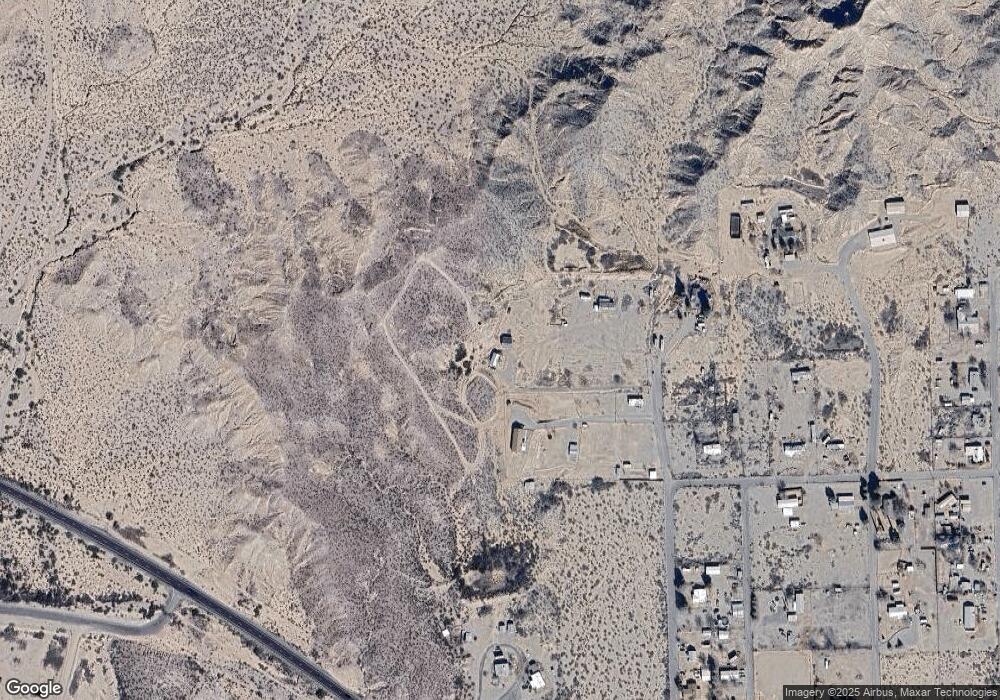
Map
Nearby Homes
- 124 Cricket Way
- 638 Daniels Ave
- TBD Campbell St
- 0 Tbd Unit 1720854
- TBD Campbell Mesquite St
- 202 Madison St
- 380254 Highway 70 E
- TBD Skyline Dr
- 705 Center Ave
- 160 Prickle Pear
- 581 Franklin Rd
- 58 Franklin Rd
- 715 Tyler Farms Rd
- 220 Kaywood Wash Rd
- 0 Off of Hwy 70
- 228 Callaway Rd
- 0 La Canada Rd
- 211 Vista Heights Dr
- tbd Burro Springs Rd
- 287, 291 Chase Creek
- 503 Mccarty Trail Unit A
- 326 Happy Trail
- 336 Mccarty Trail
- 480 Mccarty Trail
- 280 Mccarty Trail
- 120 Cherokee Dr
- 173 Cherokee Dr
- 246 Mccarty Trail
- 33 Fisher Ln
- 16 Comanche Dr
- 311 Stevens Loop
- 520 Seminole Ln
- 160 Comanche Dr
- 147 S Shoshone Ln
- 49 N Shoshone Ln
- 355 Stevens Loop
- 21 N Shoshone Ln
- 425 Harmony Dr
- 218 Comanchee Dr
- 115 Harmony Dr