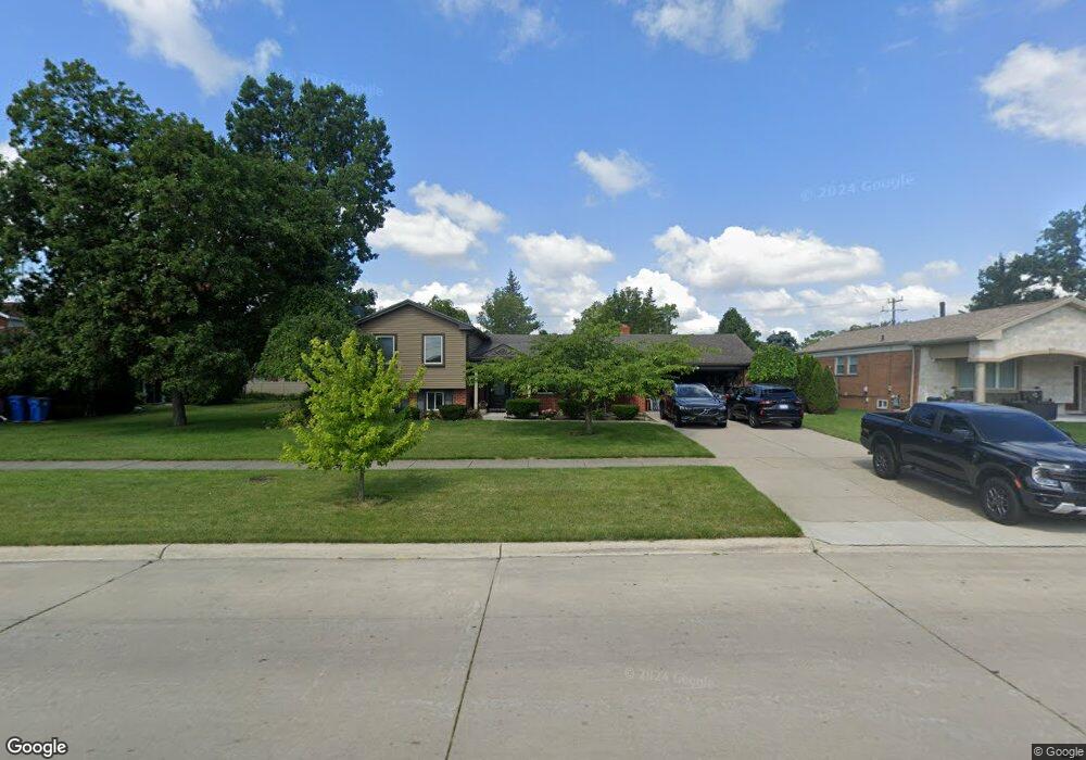
589 N John Daly Rd Dearborn Heights, MI 48127
Estimated Value: $447,385 - $539,000
--
Bed
2
Baths
1,995
Sq Ft
$236/Sq Ft
Est. Value
About This Home
This home is located at 589 N John Daly Rd, Dearborn Heights, MI 48127 and is currently estimated at $471,346, approximately $236 per square foot. 589 N John Daly Rd is a home located in Wayne County with nearby schools including Crestwood High School, Kinloch Elementary School, and Riverside Middle School.
Ownership History
Date
Name
Owned For
Owner Type
Purchase Details
Closed on
Oct 21, 2015
Sold by
Beydoun Samir
Bought by
Beydoun Samir I
Current Estimated Value
Home Financials for this Owner
Home Financials are based on the most recent Mortgage that was taken out on this home.
Original Mortgage
$145,500
Outstanding Balance
$59,089
Interest Rate
3.91%
Mortgage Type
New Conventional
Estimated Equity
$412,257
Purchase Details
Closed on
Jul 26, 1999
Sold by
Dicki Barbara J and Dicki Gene D
Bought by
Beydoun Samir and Beydoun Teresita
Create a Home Valuation Report for This Property
The Home Valuation Report is an in-depth analysis detailing your home's value as well as a comparison with similar homes in the area
Home Values in the Area
Average Home Value in this Area
Purchase History
| Date | Buyer | Sale Price | Title Company |
|---|---|---|---|
| Beydoun Samir I | -- | Attorney | |
| Beydoun Samir | $188,000 | -- |
Source: Public Records
Mortgage History
| Date | Status | Borrower | Loan Amount |
|---|---|---|---|
| Open | Beydoun Samir I | $145,500 |
Source: Public Records
Tax History Compared to Growth
Tax History
| Year | Tax Paid | Tax Assessment Tax Assessment Total Assessment is a certain percentage of the fair market value that is determined by local assessors to be the total taxable value of land and additions on the property. | Land | Improvement |
|---|---|---|---|---|
| 2025 | $4,239 | $219,400 | $0 | $0 |
| 2024 | $4,239 | $216,700 | $0 | $0 |
| 2023 | $4,007 | $199,900 | $0 | $0 |
| 2022 | $5,425 | $182,900 | $0 | $0 |
| 2021 | $5,440 | $175,900 | $0 | $0 |
| 2019 | $4,650 | $139,800 | $0 | $0 |
| 2018 | $3,135 | $124,300 | $0 | $0 |
| 2017 | $2,609 | $119,200 | $0 | $0 |
| 2016 | $4,339 | $113,900 | $0 | $0 |
| 2015 | $8,435 | $108,800 | $0 | $0 |
| 2013 | $8,172 | $85,100 | $0 | $0 |
| 2010 | -- | $91,300 | $0 | $0 |
Source: Public Records
Map
Nearby Homes
- 6 Canfield Cir
- 9 Canfield Cir
- 148 Rosemary St
- 739 Kinloch St
- 212 Shadowlawn St
- 741 Berwyn St
- 256 Brentwood St
- 26004 Shirley Ln
- 26476 Stollman Dr
- 26006 Cherry Hill Rd
- 420 Fairwood St
- 26290 Lawrence Dr
- 852 N Beech Daly Rd Unit 7
- 27534 Sheridan St
- 26607 Monticello St
- 375 Arcola St
- 742 Arlington St
- 26251 Somerset Dr
- 26508 Monticello St
- 811 Arlington St
- 613 N John Daly Rd
- 555 N John Daly Rd
- 621 N John Daly Rd
- 586 N Charlesworth St
- 608 N Charlesworth St
- 539 N John Daly Rd
- 568 N Charlesworth St
- 630 N Charlesworth St
- 629 N John Daly Rd
- 548 N Charlesworth St
- 642 N Charlesworth St
- 515 N John Daly Rd
- 536 N Charlesworth St
- 26545 Sheahan Dr
- 635 N John Daly Rd
- 506 N Charlesworth St Unit Bldg-Unit
- 506 N Charlesworth St
- 506 N Charlesworth St
- 654 N Charlesworth St
- 26533 Sheahan Dr