589 Outpost Cir Hudson, WI 54016
Estimated Value: $1,045,840
Studio
--
Bath
50
Sq Ft
$20,917/Sq Ft
Est. Value
About This Home
This home is located at 589 Outpost Cir, Hudson, WI 54016 and is currently estimated at $1,045,840, approximately $20,916 per square foot. 589 Outpost Cir is a home located in St. Croix County with nearby schools including River Crest Elementary School, Hudson Middle School, and Hudson High School.
Ownership History
Date
Name
Owned For
Owner Type
Purchase Details
Closed on
Sep 18, 2020
Sold by
Onken Properties Llc
Bought by
Storage Xl Llc
Current Estimated Value
Purchase Details
Closed on
Jan 8, 2019
Sold by
Cpec Exchange 41984 Llc
Bought by
Onken Properties Llc
Purchase Details
Closed on
Jul 25, 2018
Sold by
Hendricks Investments Llc
Bought by
Cpec Exchange 41984 Llc
Purchase Details
Closed on
Apr 13, 2015
Sold by
Hendricks Investments Llc
Bought by
Lewis Family Llc
Home Financials for this Owner
Home Financials are based on the most recent Mortgage that was taken out on this home.
Original Mortgage
$175,000
Interest Rate
3.68%
Mortgage Type
Purchase Money Mortgage
Create a Home Valuation Report for This Property
The Home Valuation Report is an in-depth analysis detailing your home's value as well as a comparison with similar homes in the area
Home Values in the Area
Average Home Value in this Area
Purchase History
| Date | Buyer | Sale Price | Title Company |
|---|---|---|---|
| Storage Xl Llc | $753,600 | Edina Realty Title | |
| Onken Properties Llc | $231,000 | None Available | |
| Cpec Exchange 41984 Llc | $180,000 | Abstracts & Titles | |
| Lewis Family Llc | $175,000 | Titlesmart Inc |
Source: Public Records
Mortgage History
| Date | Status | Borrower | Loan Amount |
|---|---|---|---|
| Previous Owner | Lewis Family Llc | $175,000 |
Source: Public Records
Tax History
| Year | Tax Paid | Tax Assessment Tax Assessment Total Assessment is a certain percentage of the fair market value that is determined by local assessors to be the total taxable value of land and additions on the property. | Land | Improvement |
|---|---|---|---|---|
| 2025 | $8,910 | $814,700 | $233,700 | $581,000 |
| 2024 | $91 | $814,700 | $233,700 | $581,000 |
| 2023 | $10,520 | $814,700 | $233,700 | $581,000 |
| 2022 | $10,191 | $703,800 | $224,100 | $479,700 |
| 2021 | $9,870 | $703,800 | $224,100 | $479,700 |
| 2020 | $3,649 | $703,800 | $224,100 | $479,700 |
| 2019 | $2,984 | $268,900 | $224,100 | $44,800 |
| 2018 | $3,055 | $224,100 | $224,100 | $0 |
| 2017 | $2,829 | $169,600 | $169,600 | $0 |
| 2016 | $2,829 | $169,600 | $169,600 | $0 |
Source: Public Records
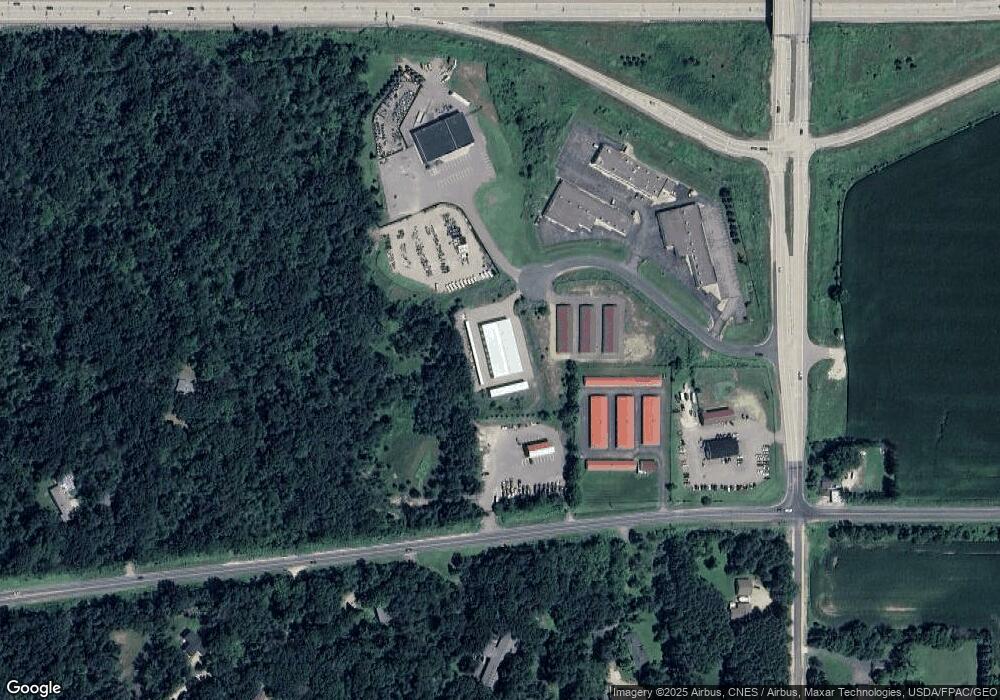
Map
Nearby Homes
- 701 Rodeo Dr
- 671 Darnold Dr
- 665 Darnold Dr
- 640 Gilbert Rd
- 12 Palomino Ct
- 14 Palomino Ct
- 740 Aldro Rd
- 28 Heritage Blvd
- 127 Stratford Way Unit 6
- 518 Pamela Ln
- 786 Harlar Cir
- XXX Gilbert Rd
- 117 Heirloom Ave
- 1204 54th St
- 529 Chapman Hills Ct
- xxx Crosby Dr
- 85 Deerwood Ct
- 91 Deerwood Ct
- 464 Stageline Rd
- 763 Hill Farm Rd
- 595 Outpost Cir
- 590 County Road N
- 592 Outpost Cir
- 588 Outpost Cir
- 680 County Road U
- 585 County Road N
- 566 County Road N
- 589 County Road N
- 579 County Road N
- 604 County Road N
- 552 Cty Rd N--
- 1231 U S 12
- 672 Gilbert Rd
- 664 Bradhurst Rd
- 671 Bradhurst Rd
- 672 Bradhurst Rd
- 564 County Road N
- 662 Gilbert Rd
- 552 Cty Rd N
- 703 Rodeo Dr
Your Personal Tour Guide
Ask me questions while you tour the home.