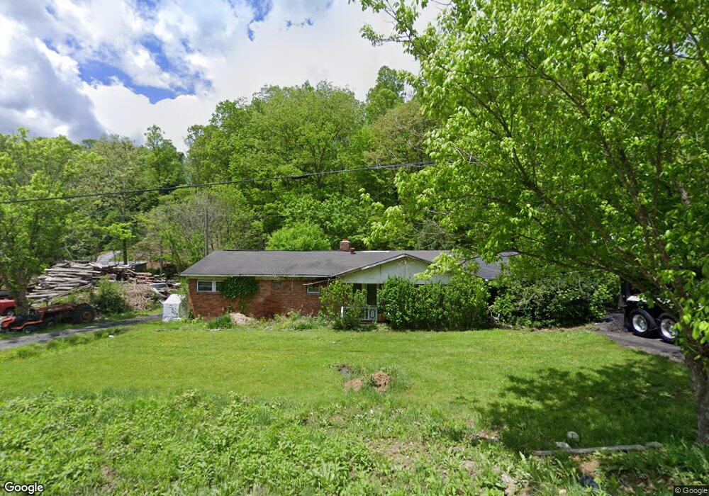
589 Plum Branch Rd Burnsville, NC 28714
Estimated Value: $237,369 - $296,000
3
Beds
1
Bath
1,200
Sq Ft
$216/Sq Ft
Est. Value
About This Home
This home is located at 589 Plum Branch Rd, Burnsville, NC 28714 and is currently estimated at $259,342, approximately $216 per square foot. 589 Plum Branch Rd is a home located in Yancey County with nearby schools including Mountain Heritage High School and Genesis Academy.
Ownership History
Date
Name
Owned For
Owner Type
Purchase Details
Closed on
Sep 1, 2017
Sold by
James W Riddle
Bought by
Boone Randy
Current Estimated Value
Home Financials for this Owner
Home Financials are based on the most recent Mortgage that was taken out on this home.
Original Mortgage
$7,000
Outstanding Balance
$5,833
Interest Rate
3.82%
Estimated Equity
$253,509
Create a Home Valuation Report for This Property
The Home Valuation Report is an in-depth analysis detailing your home's value as well as a comparison with similar homes in the area
Home Values in the Area
Average Home Value in this Area
Purchase History
| Date | Buyer | Sale Price | Title Company |
|---|---|---|---|
| Boone Randy | -- | -- |
Source: Public Records
Mortgage History
| Date | Status | Borrower | Loan Amount |
|---|---|---|---|
| Open | Boone Randy | $7,000 | |
| Closed | Boone Randy | -- |
Source: Public Records
Tax History Compared to Growth
Tax History
| Year | Tax Paid | Tax Assessment Tax Assessment Total Assessment is a certain percentage of the fair market value that is determined by local assessors to be the total taxable value of land and additions on the property. | Land | Improvement |
|---|---|---|---|---|
| 2025 | $772 | $130,800 | $39,400 | $91,400 |
| 2024 | $772 | $130,800 | $39,400 | $91,400 |
| 2023 | $678 | $101,200 | $34,800 | $66,400 |
| 2022 | $664 | $101,200 | $34,800 | $66,400 |
| 2021 | $678 | $101,200 | $34,800 | $66,400 |
| 2020 | $678 | $101,200 | $34,800 | $66,400 |
| 2019 | $678 | $101,200 | $34,800 | $66,400 |
| 2018 | $678 | $101,200 | $34,800 | $66,400 |
| 2017 | $668 | $101,200 | $34,800 | $66,400 |
| 2016 | $340 | $101,200 | $34,800 | $66,400 |
| 2015 | $261 | $91,450 | $22,600 | $68,850 |
| 2014 | $261 | $91,450 | $22,600 | $68,850 |
Source: Public Records
Map
Nearby Homes
- 307 Laf A Lot Ln
- 126 Juniper Dr
- 001 Shoal Pond Cove
- 8 Cc Farm Rd
- 40 Double Island Rd
- 1050 Wyatt Town Rd
- 200 Church Rd
- 220 Grand View Ln
- 35 Lands End Dr
- 72 Pilgrims Ln
- 00 High Peak Ridge Unit 7
- 710 Three Quarter Creek Rd
- 210 Miners Ridge Dr
- 944 Georges Fork Rd
- 17 Horizon Dr
- 145 Appalachian Dr
- 35 Mountaineer Ln Unit 8
- 0 Majestic Mountain Dr
- 0 Majestic Mountain Dr Unit 11
- 1227 Georges Fork Rd
- 542 Plum Branch Rd
- 645 Plum Branch Rd
- 590 Plum Branch Rd
- 538 Plum Branch Rd
- 85 Evening Shade Ln
- 30 Bucks Mountain Rd
- 697 Plum Branch Rd
- 86 Laf A Lot Ln
- 730 Plum Branch Rd
- 29 Barebridge Fields Rd
- 110 Evening Shade Ln
- Lot #7 the Cove Celo Cove
- 157 Bucks Mountain Rd
- 160 Bucks Mountain Rd
- 424 Griffith Mine Rd
- 110 Look Homeward Dr
- 810 Plum Branch Rd
- 000 Wind Wood Dr Unit 10
- 338 Evening Shade Ln
- 340 Plum Branch Rd