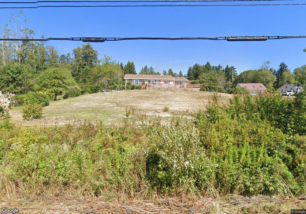
589 Port Rd MacHiasport, ME 04655
Estimated Value: $223,672 - $288,000
3
Beds
2
Baths
1,372
Sq Ft
$188/Sq Ft
Est. Value
About This Home
This home is located at 589 Port Rd, MacHiasport, ME 04655 and is currently estimated at $257,418, approximately $187 per square foot. 589 Port Rd is a home with nearby schools including Fort O'Brien School.
Ownership History
Date
Name
Owned For
Owner Type
Purchase Details
Closed on
Mar 27, 2012
Sold by
Duenas Pami L
Bought by
Colbeth Corey
Current Estimated Value
Purchase Details
Closed on
May 24, 2007
Sold by
Wood Elaine M and Wood Tony L
Bought by
Duenas Pami L
Home Financials for this Owner
Home Financials are based on the most recent Mortgage that was taken out on this home.
Original Mortgage
$84,000
Interest Rate
6%
Mortgage Type
Commercial
Create a Home Valuation Report for This Property
The Home Valuation Report is an in-depth analysis detailing your home's value as well as a comparison with similar homes in the area
Home Values in the Area
Average Home Value in this Area
Purchase History
| Date | Buyer | Sale Price | Title Company |
|---|---|---|---|
| Colbeth Corey | -- | -- | |
| Duenas Pami L | -- | -- |
Source: Public Records
Mortgage History
| Date | Status | Borrower | Loan Amount |
|---|---|---|---|
| Previous Owner | Duenas Pami L | $84,000 |
Source: Public Records
Tax History Compared to Growth
Tax History
| Year | Tax Paid | Tax Assessment Tax Assessment Total Assessment is a certain percentage of the fair market value that is determined by local assessors to be the total taxable value of land and additions on the property. | Land | Improvement |
|---|---|---|---|---|
| 2024 | $1,909 | $146,880 | $27,980 | $118,900 |
| 2023 | $1,735 | $137,680 | $25,980 | $111,700 |
| 2022 | $1,632 | $132,720 | $24,880 | $107,840 |
| 2021 | $1,447 | $132,720 | $24,880 | $107,840 |
| 2020 | $1,659 | $132,720 | $24,880 | $107,840 |
| 2019 | $1,600 | $93,044 | $21,714 | $71,330 |
| 2018 | $1,721 | $93,044 | $21,714 | $71,330 |
| 2017 | $1,628 | $93,044 | $21,714 | $71,330 |
| 2016 | $1,628 | $93,044 | $21,714 | $71,330 |
| 2015 | $1,693 | $93,044 | $21,714 | $71,330 |
| 2014 | $1,693 | $93,044 | $21,714 | $71,330 |
| 2013 | $1,684 | $93,044 | $21,714 | $71,330 |
Source: Public Records
Map
Nearby Homes
- 576 Port Rd
- MarkayEast Puffins Ln
- 1 Puffins Ln
- 76 Dunns Point Way
- 366 Port Rd
- 4-28 Old Town Rd Old County Rd Rd
- 37 Corn Hill Rd
- 33 Corn Hill Rd
- 12 W Palmer Rd
- 21-5-3 E Palmer Rd
- 85 E Side Rd
- Lot2A-2 Holway Rd
- 2-2A-001-A Holway Point Rd
- 246 Marsh Stream Ln
- 80 Holmes Way
- 379 Cutler Rd
- 321 Cutler Rd
- 285 & 291 Cutler Rd
- 191 Route 191 N
- 65 Lookout Mountain Rd