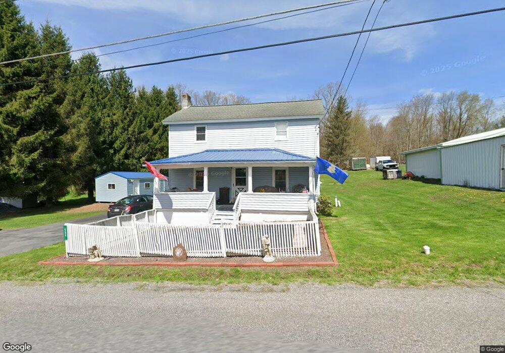
589 Powell St Hawk Run, PA 16840
Estimated Value: $91,320 - $208,000
Studio
--
Bath
--
Sq Ft
16,988
Sq Ft
About This Home
This home is located at 589 Powell St, Hawk Run, PA 16840 and is currently estimated at $145,580. 589 Powell St is a home with nearby schools including West Branch Area Elementary School and West Branch Area Junior/Senior High School.
Ownership History
Date
Name
Owned For
Owner Type
Purchase Details
Closed on
Oct 28, 2014
Sold by
Streightiff Kevin R
Bought by
Streightiff Kevin R and Streightiff Donna J
Current Estimated Value
Home Financials for this Owner
Home Financials are based on the most recent Mortgage that was taken out on this home.
Original Mortgage
$36,277
Outstanding Balance
$12,415
Interest Rate
4.13%
Mortgage Type
New Conventional
Estimated Equity
$133,165
Purchase Details
Closed on
Aug 27, 1997
Sold by
Sallurday William
Bought by
Streightiff Kevin R
Create a Home Valuation Report for This Property
The Home Valuation Report is an in-depth analysis detailing your home's value as well as a comparison with similar homes in the area
Purchase History
| Date | Buyer | Sale Price | Title Company |
|---|---|---|---|
| Streightiff Kevin R | -- | None Available | |
| Streightiff Kevin R | $28,000 | -- |
Source: Public Records
Mortgage History
| Date | Status | Borrower | Loan Amount |
|---|---|---|---|
| Open | Streightiff Kevin R | $36,277 |
Source: Public Records
Tax History
| Year | Tax Paid | Tax Assessment Tax Assessment Total Assessment is a certain percentage of the fair market value that is determined by local assessors to be the total taxable value of land and additions on the property. | Land | Improvement |
|---|---|---|---|---|
| 2025 | $986 | $13,300 | $2,700 | $10,600 |
| 2024 | $166 | $6,650 | $1,350 | $5,300 |
| 2023 | $830 | $6,300 | $1,350 | $4,950 |
| 2022 | $814 | $6,300 | $1,350 | $4,950 |
| 2021 | $818 | $6,300 | $1,350 | $4,950 |
| 2020 | $799 | $6,300 | $1,350 | $4,950 |
| 2019 | $799 | $6,300 | $1,350 | $4,950 |
| 2018 | $743 | $6,300 | $1,350 | $4,950 |
| 2017 | $765 | $6,300 | $1,350 | $4,950 |
| 2016 | -- | $6,300 | $1,350 | $4,950 |
| 2015 | -- | $6,300 | $1,350 | $4,950 |
| 2014 | -- | $6,300 | $1,350 | $4,950 |
Source: Public Records
Map
Nearby Homes
- 47 Whitman St
- 1866 Morrisdale Allport Hwy
- 158 Womer Rd
- 2931 Morrisdale Allport Hwy
- 113 Loch Lomond Rd
- 3307 Morrisdale Allport Hwy
- 515 N 11th St
- ON Hardscrabble Rd
- 0 Hardscrabble Rd
- 314 N 4th St
- 407 E Pine St
- 316 N Centre St
- 0 Meadow Ln
- 5068 Morrisdale Allport Hwy
- 305 E Laurel St
- 109 & 109B N Centre St
- 100 S Centre St
- 317 E Hickory St
- 0 Wallaceton Rd Unit PACD2044830
- 210 S 2nd St
Your Personal Tour Guide
Ask me questions while you tour the home.