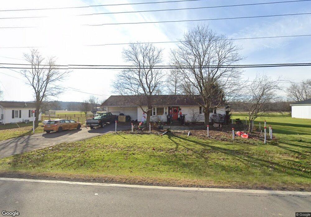
589 State Route 97 W Bellville, OH 44813
Estimated Value: $204,065 - $247,000
3
Beds
1
Bath
1,232
Sq Ft
$182/Sq Ft
Est. Value
About This Home
This home is located at 589 State Route 97 W, Bellville, OH 44813 and is currently estimated at $224,766, approximately $182 per square foot. 589 State Route 97 W is a home located in Richland County with nearby schools including Clear Fork High School and Grace Christian School.
Ownership History
Date
Name
Owned For
Owner Type
Purchase Details
Closed on
Nov 20, 1997
Sold by
Tuttle Sondra K
Bought by
Fitzrandolph William H and Fitzrandolph Tammy E
Current Estimated Value
Home Financials for this Owner
Home Financials are based on the most recent Mortgage that was taken out on this home.
Original Mortgage
$83,382
Outstanding Balance
$13,805
Interest Rate
7.38%
Mortgage Type
FHA
Estimated Equity
$210,961
Create a Home Valuation Report for This Property
The Home Valuation Report is an in-depth analysis detailing your home's value as well as a comparison with similar homes in the area
Home Values in the Area
Average Home Value in this Area
Purchase History
| Date | Buyer | Sale Price | Title Company |
|---|---|---|---|
| Fitzrandolph William H | $87,000 | -- |
Source: Public Records
Mortgage History
| Date | Status | Borrower | Loan Amount |
|---|---|---|---|
| Open | Fitzrandolph William H | $83,382 |
Source: Public Records
Tax History Compared to Growth
Tax History
| Year | Tax Paid | Tax Assessment Tax Assessment Total Assessment is a certain percentage of the fair market value that is determined by local assessors to be the total taxable value of land and additions on the property. | Land | Improvement |
|---|---|---|---|---|
| 2024 | $2,089 | $45,490 | $10,690 | $34,800 |
| 2023 | $2,089 | $45,490 | $10,690 | $34,800 |
| 2022 | $1,805 | $34,340 | $9,400 | $24,940 |
| 2021 | $1,903 | $34,340 | $9,400 | $24,940 |
| 2020 | $1,881 | $34,340 | $9,400 | $24,940 |
| 2019 | $1,725 | $29,100 | $7,960 | $21,140 |
| 2018 | $1,713 | $29,100 | $7,960 | $21,140 |
| 2017 | $1,727 | $29,100 | $7,960 | $21,140 |
| 2016 | $1,794 | $33,380 | $12,740 | $20,640 |
| 2015 | $1,726 | $33,380 | $12,740 | $20,640 |
| 2014 | $1,723 | $33,380 | $12,740 | $20,640 |
| 2012 | $838 | $33,380 | $12,740 | $20,640 |
Source: Public Records
Map
Nearby Homes
- 34 Fitting Ave
- 161 Church St
- 1372 Bellville Johnsville Rd
- 122 Church St
- 343 W Durbin Ave
- 76 Church St
- 43 Bell St
- 179 Dickerson Ave
- 559 Poorman Rd
- 159 Bell St
- 98 School St
- 4131 Bellville North Rd
- 0 Main St Unit 9066039
- 598 Bollinger Rd
- 119 Yorkshire Rd
- 74 E Durbin Ave
- 3677 Middle Bellville Rd
- 0 Mill Rd
- 325 S Main St
- 608 Woodruff Rd
- 585 State Route 97 W
- 605 State Route 97 W
- 581 State Route 97 W
- 604 State Route 97 W
- 577 State Route 97 W
- 588 State Route 97 W
- 610 Ohio 97
- 610 State Route 97 W
- 602 State Route 97 W
- 596 State Route 97 W
- 578 State Route 97 W
- 760 Mock Rd
- 597 State Route 97 W
- 568 State Route 97 W
- 739 Mock Rd
- 0 Ohio 97
- 463 Spayde Rd
- 463 Spayde Rd Unit NW A.600 LT 7 PTandN
- 321 Spayde Rd
- 845 Mock Rd