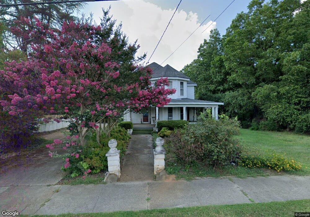
5890 West Ave Lavonia, GA 30553
Estimated Value: $262,000 - $274,958
5
Beds
3
Baths
3,278
Sq Ft
$83/Sq Ft
Est. Value
About This Home
This home is located at 5890 West Ave, Lavonia, GA 30553 and is currently estimated at $270,990, approximately $82 per square foot. 5890 West Ave is a home located in Franklin County with nearby schools including Franklin County High School.
Ownership History
Date
Name
Owned For
Owner Type
Purchase Details
Closed on
Mar 8, 2013
Sold by
First Citizens Bank & Tr
Bought by
Lovell Randall Lee
Current Estimated Value
Home Financials for this Owner
Home Financials are based on the most recent Mortgage that was taken out on this home.
Original Mortgage
$55,200
Outstanding Balance
$11,358
Interest Rate
3.56%
Mortgage Type
New Conventional
Estimated Equity
$259,632
Purchase Details
Closed on
Apr 26, 2012
Sold by
First Citizen Bank & Trust Company Inc
Bought by
First Citizen Bank & Trust Company Inc
Purchase Details
Closed on
Apr 5, 2010
Sold by
Wooten Forrest Tot
Bought by
First Citizens Bank
Purchase Details
Closed on
Apr 24, 1987
Bought by
Wooten Forrest and Wooten Jan
Create a Home Valuation Report for This Property
The Home Valuation Report is an in-depth analysis detailing your home's value as well as a comparison with similar homes in the area
Home Values in the Area
Average Home Value in this Area
Purchase History
| Date | Buyer | Sale Price | Title Company |
|---|---|---|---|
| Lovell Randall Lee | $69,000 | -- | |
| First Citizen Bank & Trust Company Inc | -- | -- | |
| First Citizens Bank | -- | -- | |
| Wooten Forrest | $55,000 | -- |
Source: Public Records
Mortgage History
| Date | Status | Borrower | Loan Amount |
|---|---|---|---|
| Open | Lovell Randall Lee | $55,200 |
Source: Public Records
Tax History Compared to Growth
Tax History
| Year | Tax Paid | Tax Assessment Tax Assessment Total Assessment is a certain percentage of the fair market value that is determined by local assessors to be the total taxable value of land and additions on the property. | Land | Improvement |
|---|---|---|---|---|
| 2024 | $2,302 | $69,463 | $9,600 | $59,863 |
| 2023 | $2,302 | $64,130 | $9,600 | $54,530 |
| 2022 | $2,128 | $59,286 | $9,600 | $49,686 |
| 2021 | $1,865 | $49,826 | $7,200 | $42,626 |
| 2020 | $1,492 | $39,267 | $7,200 | $32,067 |
| 2019 | $1,455 | $39,267 | $7,200 | $32,067 |
| 2018 | $1,270 | $34,138 | $7,200 | $26,938 |
| 2017 | $1,308 | $34,138 | $7,200 | $26,938 |
| 2016 | $1,243 | $30,830 | $7,200 | $23,630 |
| 2015 | -- | $30,829 | $7,200 | $23,630 |
| 2014 | -- | $30,830 | $7,200 | $23,630 |
| 2013 | -- | $30,829 | $7,200 | $23,629 |
Source: Public Records
Map
Nearby Homes
- 0 Highway 59 Unit 10615036
- 0 Highway 59 Unit 10632364
- 5710 Vickery St
- 159 Old Park Rd
- 5494 Vickery St
- 5474 Vickery St
- 396 Brookwood Dr
- 86 Luckie St
- 266 Randall St
- 89 Huntington Dr
- 49 Wright St Unit 65
- 55 Wright St Unit 67
- 57 Wright St Unit 68
- 51 Wright St Unit 66
- 45 Wright St Unit 64
- 103 Ross Place
- 59 Wright St Unit 69
- 138 Victoria Ln
- 0 Hwy 59 and Ross Place Unit 10499138
- 148 Allen Dr
- 5910 West Ave
- 5866 West Ave
- 5891 West Ave
- 5911 West Ave
- 5838 West Ave
- 5931 West Ave
- 0 Highway 59 Unit 2602388
- 0 Highway 59 Unit 3247947
- 0 Highway 59 Unit 7604588
- 0 Highway 59 Unit 8029210
- 0 Hwy 59 Unit 8155254
- 0 Hwy 59 Unit 4259128
- 0 Hwy 59 Unit 5330773
- 0 Highway 59 Unit 10282710
- 0 Highway 59 Unit 10141930
- 0 Hwy 59 Unit 10024822
- 0 Highway 59 Unit 8965230
- 0 Highway 59 Unit 8747744
- 0 Highway 59 Unit 8375862