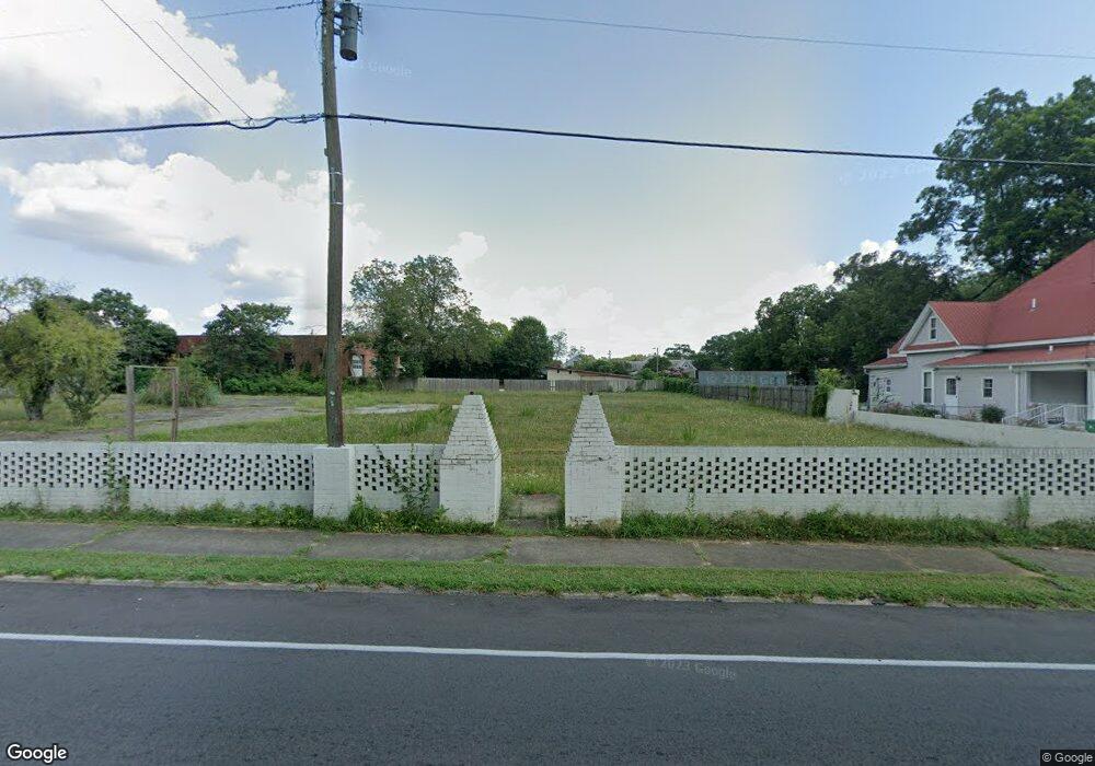
5891 West Ave Lavonia, GA 30553
Estimated Value: $93,378 - $269,000
--
Bed
--
Bath
5,787
Sq Ft
$31/Sq Ft
Est. Value
About This Home
This home is located at 5891 West Ave, Lavonia, GA 30553 and is currently estimated at $181,189, approximately $31 per square foot. 5891 West Ave is a home located in Franklin County with nearby schools including Franklin County High School.
Ownership History
Date
Name
Owned For
Owner Type
Purchase Details
Closed on
Jul 23, 2021
Sold by
Coker Lynn A
Bought by
Martin Lindsay C and Martin Jeffery D
Current Estimated Value
Home Financials for this Owner
Home Financials are based on the most recent Mortgage that was taken out on this home.
Original Mortgage
$54,000
Outstanding Balance
$31,747
Interest Rate
3%
Mortgage Type
Commercial
Estimated Equity
$149,442
Purchase Details
Closed on
Jul 27, 2006
Sold by
Ford William C Dr
Bought by
Coker Lynn A
Purchase Details
Closed on
Feb 27, 2006
Sold by
Ford William C
Bought by
Coker Lynn A
Purchase Details
Closed on
Sep 29, 1978
Bought by
Ford William C Dr
Create a Home Valuation Report for This Property
The Home Valuation Report is an in-depth analysis detailing your home's value as well as a comparison with similar homes in the area
Home Values in the Area
Average Home Value in this Area
Purchase History
| Date | Buyer | Sale Price | Title Company |
|---|---|---|---|
| Martin Lindsay C | $72,000 | -- | |
| Coker Lynn A | $130,000 | -- | |
| Coker Lynn A | $130,000 | -- | |
| Ford William C Dr | -- | -- |
Source: Public Records
Mortgage History
| Date | Status | Borrower | Loan Amount |
|---|---|---|---|
| Open | Martin Lindsay C | $54,000 |
Source: Public Records
Tax History Compared to Growth
Tax History
| Year | Tax Paid | Tax Assessment Tax Assessment Total Assessment is a certain percentage of the fair market value that is determined by local assessors to be the total taxable value of land and additions on the property. | Land | Improvement |
|---|---|---|---|---|
| 2024 | $826 | $24,939 | $24,939 | $0 |
| 2023 | $816 | $22,724 | $22,724 | $0 |
| 2022 | $663 | $18,463 | $18,463 | $0 |
| 2021 | $691 | $18,463 | $18,463 | $0 |
| 2020 | $701 | $18,463 | $18,463 | $0 |
| 2019 | $684 | $18,463 | $18,463 | $0 |
| 2018 | $687 | $18,463 | $18,463 | $0 |
| 2017 | $708 | $18,463 | $18,463 | $0 |
| 2016 | $991 | $24,576 | $24,576 | $0 |
| 2015 | -- | $29,366 | $24,576 | $4,790 |
| 2014 | -- | $29,366 | $24,576 | $4,790 |
| 2013 | -- | $29,366 | $24,576 | $4,789 |
Source: Public Records
Map
Nearby Homes
- 0 Highway 59 Unit 10615036
- 0 Highway 59 Unit 10632364
- 5710 Vickery St
- 159 Old Park Rd
- 5494 Vickery St
- 5474 Vickery St
- 396 Brookwood Dr
- 86 Luckie St
- 45 Beverly St
- 266 Randall St
- 89 Huntington Dr
- 49 Wright St Unit 65
- 55 Wright St Unit 67
- 57 Wright St Unit 68
- 51 Wright St Unit 66
- 45 Wright St Unit 64
- 103 Ross Place
- 138 Victoria Ln
- 59 Wright St Unit 69
- 0 Hwy 59 and Ross Place Unit 10499138
- 5911 West Ave
- 5890 West Ave
- 5931 West Ave
- 5866 West Ave
- 0 Grogan St Unit TRACT 3
- 0 Grogan St Unit TRACT 3 7639777
- 0 Grogan St Unit 3095151
- 0 Grogan St Unit 3147783
- 0 Grogan St Unit 3257323
- 0 Grogan St Unit 8994383
- 0 Grogan St Unit 8799454
- 0 Grogan St Unit 8519186
- 0 Grogan St Unit 8714086
- 0 Grogan St Unit 8865438
- 0 Grogan St Unit 7390319
- 0 Grogan St Unit 8018139
- 0 Grogan St Unit 8602843
- 5910 West Ave
- 5838 West Ave
- 0 Highway 59 Unit 2602388