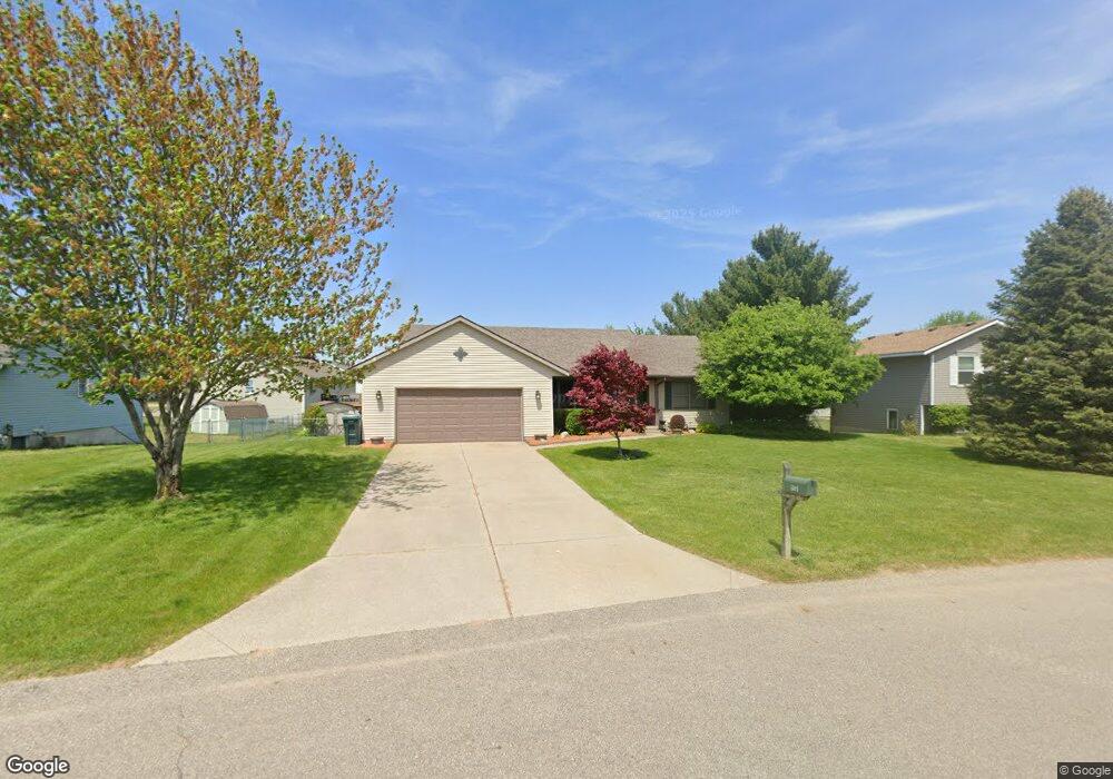
5895 Dewpointe Dr Allendale, MI 49401
Estimated Value: $336,000 - $364,000
3
Beds
3
Baths
1,800
Sq Ft
$194/Sq Ft
Est. Value
About This Home
This home is located at 5895 Dewpointe Dr, Allendale, MI 49401 and is currently estimated at $349,029, approximately $193 per square foot. 5895 Dewpointe Dr is a home located in Ottawa County with nearby schools including Evergreen Elementary School, Allendale Middle School, and Allendale High School.
Ownership History
Date
Name
Owned For
Owner Type
Purchase Details
Closed on
Aug 21, 2009
Sold by
Hill Mary and Johnson Mary
Bought by
Hopwood Cynthia D and Hopwood Matthew W
Current Estimated Value
Home Financials for this Owner
Home Financials are based on the most recent Mortgage that was taken out on this home.
Original Mortgage
$50,000
Interest Rate
5.32%
Mortgage Type
New Conventional
Purchase Details
Closed on
Sep 16, 2003
Sold by
Morden Chris and Morden Shirley
Bought by
Johnson Mary
Home Financials for this Owner
Home Financials are based on the most recent Mortgage that was taken out on this home.
Original Mortgage
$133,950
Interest Rate
6.33%
Mortgage Type
Purchase Money Mortgage
Create a Home Valuation Report for This Property
The Home Valuation Report is an in-depth analysis detailing your home's value as well as a comparison with similar homes in the area
Home Values in the Area
Average Home Value in this Area
Purchase History
| Date | Buyer | Sale Price | Title Company |
|---|---|---|---|
| Hopwood Cynthia D | -- | Lighthouse Title Inc | |
| Johnson Mary | $148,888 | Michigan Clear Title Agency |
Source: Public Records
Mortgage History
| Date | Status | Borrower | Loan Amount |
|---|---|---|---|
| Closed | Hopwood Cynthia D | $50,000 | |
| Previous Owner | Johnson Mary | $133,950 |
Source: Public Records
Tax History
| Year | Tax Paid | Tax Assessment Tax Assessment Total Assessment is a certain percentage of the fair market value that is determined by local assessors to be the total taxable value of land and additions on the property. | Land | Improvement |
|---|---|---|---|---|
| 2025 | $2,370 | $148,200 | $0 | $0 |
| 2024 | $23 | $135,600 | $0 | $0 |
| 2023 | $2,177 | $116,000 | $0 | $0 |
| 2022 | $2,387 | $111,200 | $0 | $0 |
| 2021 | $2,317 | $101,400 | $0 | $0 |
| 2020 | $2,291 | $98,000 | $0 | $0 |
| 2019 | $2,248 | $90,900 | $0 | $0 |
| 2018 | $2,110 | $81,800 | $0 | $0 |
| 2017 | $2,056 | $79,400 | $0 | $0 |
| 2016 | $1,958 | $72,400 | $0 | $0 |
| 2015 | -- | $69,800 | $0 | $0 |
| 2014 | -- | $64,200 | $0 | $0 |
Source: Public Records
Map
Nearby Homes
- 5966 Farmview Dr
- 5541 Eric St
- 10880 Verdant Dr
- 6114 Kingsbury Ct
- 6135 Kingsbury Ct
- 10786 Melanie Dr
- 6283 Roman Rd
- 6318 Roman Rd
- 10881 Constant Dr
- 10725 Melanie Dr
- 10711 Greyhound Ave
- 6185 Slumber Way
- 12713 Ridgedale Dr
- 5195 Lake Michigan Dr
- 10886 Douglas Dr
- 6230 Sumter St
- 5241 Margot Ln
- 5215 Margot Ln
- 5279 Windfield Dr
- 5436 Camfield Dr
- 5911 Dewpointe Dr
- 5881 Dewpointe Dr
- 11373 Prairie Ave
- 11390 Hunters Meadow Dr
- 11391 Prairie Ave
- 11402 Hunters Meadow Dr
- 5892 Dewpointe Dr
- 11351 Prairie Ave
- 10414 Hunters Meadow Dr
- 5904 Dewpointe Dr
- 0 Dewpointe Dr Unit APP 5
- 5960 Dewpointe Dr
- 11403 Prairie Ave
- 11349 Prairie Ave
- 5918 Dewpointe Dr
- 11414 Hunters Meadow Dr
- 11375 Hunters Meadow Dr
- 11333 Prairie Ave
- 11395 Hunters Meadow Dr
- 5930 Dewpointe Dr
Your Personal Tour Guide
Ask me questions while you tour the home.