5895 Port Trace Ct Port Republic, VA 24471
Estimated Value: $145,000 - $885,577
3
Beds
5
Baths
4,722
Sq Ft
$109/Sq Ft
Est. Value
About This Home
This home is located at 5895 Port Trace Ct, Port Republic, VA 24471 and is currently estimated at $515,289, approximately $109 per square foot. 5895 Port Trace Ct is a home with nearby schools including South River Elementary School, Montevideo Middle School, and Spotswood High School.
Ownership History
Date
Name
Owned For
Owner Type
Purchase Details
Closed on
Sep 29, 2020
Sold by
Rouse Laurence S
Bought by
Rouse Laurence S and Rouse Yolunda M
Current Estimated Value
Home Financials for this Owner
Home Financials are based on the most recent Mortgage that was taken out on this home.
Original Mortgage
$510,000
Interest Rate
2.71%
Mortgage Type
New Conventional
Purchase Details
Closed on
Mar 27, 2020
Sold by
Adkins Matthew Ray
Bought by
Rouse Laurence S
Create a Home Valuation Report for This Property
The Home Valuation Report is an in-depth analysis detailing your home's value as well as a comparison with similar homes in the area
Home Values in the Area
Average Home Value in this Area
Purchase History
| Date | Buyer | Sale Price | Title Company |
|---|---|---|---|
| Rouse Laurence S | -- | Fidelity National Ttl Ins Co | |
| Rouse Laurence S | $75,000 | None Available |
Source: Public Records
Mortgage History
| Date | Status | Borrower | Loan Amount |
|---|---|---|---|
| Previous Owner | Rouse Laurence S | $510,000 |
Source: Public Records
Tax History Compared to Growth
Tax History
| Year | Tax Paid | Tax Assessment Tax Assessment Total Assessment is a certain percentage of the fair market value that is determined by local assessors to be the total taxable value of land and additions on the property. | Land | Improvement |
|---|---|---|---|---|
| 2025 | $5,128 | $754,100 | $58,500 | $695,600 |
| 2024 | $5,128 | $754,100 | $58,500 | $695,600 |
| 2023 | $398 | $58,500 | $58,500 | $0 |
| 2022 | $398 | $58,500 | $58,500 | $0 |
| 2021 | $433 | $58,500 | $58,500 | $0 |
| 2020 | $433 | $58,500 | $58,500 | $0 |
| 2019 | $433 | $58,500 | $58,500 | $0 |
| 2018 | $433 | $58,500 | $58,500 | $0 |
| 2017 | $329 | $44,400 | $44,400 | $0 |
| 2016 | $311 | $44,400 | $44,400 | $0 |
| 2015 | $297 | $44,400 | $44,400 | $0 |
| 2014 | $284 | $44,400 | $44,400 | $0 |
Source: Public Records
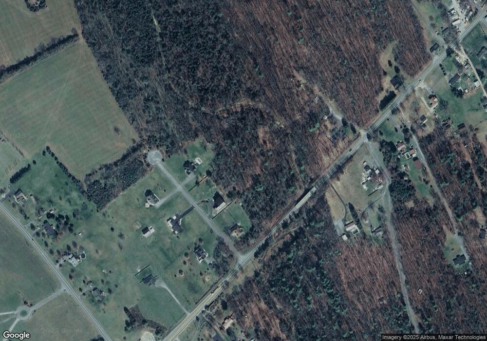
Map
Nearby Homes
- 13711 S East Side Hwy
- 7669 Fife Ln
- 11375 Port Republic Rd
- 11251 Port Republic Rd
- 14335 S East Side Hwy
- 14372 S East Side Hwy
- 1453 Mandolin Ave
- 1300 Dulcimer Ln
- 0 Watson Ln
- 805 Carson Cir
- 919 Macon Ave
- 1207 Watson Ln
- 775 Carson Cir
- TBD Doe Hill Rd
- 307 15th St
- 304 13th St
- 1103 Aspen Ave
- 1101 Aspen Ave
- 704 17th St
- 1203 Dogwood Ave
- TBD Port Trace Ct
- 5921 Port Trace Ct
- 00 Port Trace Ct
- 5837 Port Trace Ct
- 5922 Port Trace Ct
- 5838 Port Trace Ct
- 13590 S East Side Hwy
- 13931 S East Side Hwy
- 13642 S East Side Hwy
- 13935 S East Side Hwy
- 11725 Port Republic Rd
- 13657 S East Side Hwy
- 13937 S East Side Hwy
- 11663 Port Republic Rd
- 13645 S East Side Hwy
- 13973 S East Side Hwy
- 11601 Port Republic Rd
- 13975 S East Side Hwy Unit HWY
- 13975 S East Side Hwy
- 13605 S East Side Hwy