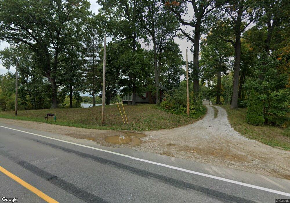
5895 W Us Highway 12 Buchanan, MI 49107
Estimated Value: $121,000 - $255,000
2
Beds
1
Bath
720
Sq Ft
$283/Sq Ft
Est. Value
About This Home
This home is located at 5895 W Us Highway 12, Buchanan, MI 49107 and is currently estimated at $203,551, approximately $282 per square foot. 5895 W Us Highway 12 is a home located in Berrien County with nearby schools including River Valley Middle/High School.
Ownership History
Date
Name
Owned For
Owner Type
Purchase Details
Closed on
Jun 10, 2016
Sold by
Personett David and Personett Samantha A
Bought by
Cullimore Andrew James
Current Estimated Value
Home Financials for this Owner
Home Financials are based on the most recent Mortgage that was taken out on this home.
Original Mortgage
$166,250
Outstanding Balance
$132,703
Interest Rate
3.66%
Mortgage Type
New Conventional
Estimated Equity
$70,848
Purchase Details
Closed on
Dec 20, 2002
Sold by
Personett David and Personett Samantha A
Bought by
Personett David and Personett Samantha A
Home Financials for this Owner
Home Financials are based on the most recent Mortgage that was taken out on this home.
Original Mortgage
$26,189
Interest Rate
6.13%
Mortgage Type
Stand Alone Second
Create a Home Valuation Report for This Property
The Home Valuation Report is an in-depth analysis detailing your home's value as well as a comparison with similar homes in the area
Home Values in the Area
Average Home Value in this Area
Purchase History
| Date | Buyer | Sale Price | Title Company |
|---|---|---|---|
| Cullimore Andrew James | $175,000 | Cti | |
| Personett David | -- | Chicago Title |
Source: Public Records
Mortgage History
| Date | Status | Borrower | Loan Amount |
|---|---|---|---|
| Open | Cullimore Andrew James | $166,250 | |
| Previous Owner | Personett David | $26,189 | |
| Previous Owner | Personett David | $109,600 |
Source: Public Records
Tax History Compared to Growth
Tax History
| Year | Tax Paid | Tax Assessment Tax Assessment Total Assessment is a certain percentage of the fair market value that is determined by local assessors to be the total taxable value of land and additions on the property. | Land | Improvement |
|---|---|---|---|---|
| 2025 | $1,437 | $90,100 | $0 | $0 |
| 2024 | $827 | $87,400 | $0 | $0 |
| 2023 | $788 | $80,200 | $0 | $0 |
| 2022 | $750 | $65,500 | $0 | $0 |
| 2021 | $1,335 | $64,200 | $37,800 | $26,400 |
| 2020 | $1,285 | $64,500 | $0 | $0 |
| 2019 | $1,269 | $56,400 | $33,000 | $23,400 |
| 2018 | $1,308 | $56,400 | $0 | $0 |
| 2017 | $1,277 | $51,600 | $0 | $0 |
| 2016 | $900 | $53,400 | $0 | $0 |
| 2015 | $747 | $64,700 | $0 | $0 |
| 2014 | $388 | $64,500 | $0 | $0 |
Source: Public Records
Map
Nearby Homes
- 0 Us 12 W
- 6105 Burrus Rd
- VL Buffalo Rd
- 5320 W Us Highway 12
- 6460 E Galien Buchanan Rd
- 1583 E Galien Buchanan Rd
- 0 Mount Zion Rd
- 6475 Olive Branch Rd
- 15973 Walnut St
- 15891 Lakeview Dr
- 15646 W Clear Lake Rd
- 16199 W Clear Lake Rd
- 2645 Oak Forest Rd
- 15657 Lakeview Dr
- 1936 E Clear Lake Rd
- 302 Hampshire Colony
- 0 E Clear Lake Rd
- 201 Sherman St
- 331 Charlestown Colony Unit 18
- 347 Georgetown Colony
- 5895 U S 12
- 2120 Dayton Dells Rd
- 2150 Dayton Dells Rd
- 5865 W Us Highway 12
- 5865 W Us Highway 12
- 2140 Dayton Dells Rd
- 5955 U S 12
- 2135 Dayton Dells Rd
- 2130 Dayton Dells Rd
- 5955 Us 12
- 5955 Us-12
- 5955 W Us Highway 12
- 5930 W Us Highway 12 W
- 5985 W Us 12 W
- 5050 Depot
- 5770 W Us Highway 12
- 5770 W Us Highway 12
- 5080 Depot
- 6045 U S 12
- 6045 W Us Highway 12