5896 Dunham Ave Stevensville, MI 49127
Estimated Value: $1,199,000
2
Beds
1
Bath
646
Sq Ft
$1,856/Sq Ft
Est. Value
About This Home
This home is located at 5896 Dunham Ave, Stevensville, MI 49127 and is currently priced at $1,199,000, approximately $1,856 per square foot. 5896 Dunham Ave is a home located in Berrien County with nearby schools including Lakeshore High School and St. Paul's Lutheran School.
Ownership History
Date
Name
Owned For
Owner Type
Purchase Details
Closed on
Mar 28, 2011
Sold by
Kane Patricia and The Patricia Kane Trust
Bought by
Steele Matthew N and Steele Angela D
Current Estimated Value
Home Financials for this Owner
Home Financials are based on the most recent Mortgage that was taken out on this home.
Original Mortgage
$417,000
Outstanding Balance
$21,527
Interest Rate
4.16%
Mortgage Type
New Conventional
Purchase Details
Closed on
Feb 14, 2010
Sold by
Kane Robert J and Kane Patricia A
Bought by
Kane Patricia and Patricia Kane Trust
Purchase Details
Closed on
May 23, 1978
Create a Home Valuation Report for This Property
The Home Valuation Report is an in-depth analysis detailing your home's value as well as a comparison with similar homes in the area
Home Values in the Area
Average Home Value in this Area
Purchase History
| Date | Buyer | Sale Price | Title Company |
|---|---|---|---|
| Steele Matthew N | -- | First American Title Ins Co | |
| Kane Patricia | -- | None Available | |
| -- | $40,000 | -- |
Source: Public Records
Mortgage History
| Date | Status | Borrower | Loan Amount |
|---|---|---|---|
| Open | Steele Matthew N | $417,000 |
Source: Public Records
Tax History Compared to Growth
Tax History
| Year | Tax Paid | Tax Assessment Tax Assessment Total Assessment is a certain percentage of the fair market value that is determined by local assessors to be the total taxable value of land and additions on the property. | Land | Improvement |
|---|---|---|---|---|
| 2024 | $8,004 | $255,500 | $0 | $0 |
| 2023 | $7,623 | $242,100 | $0 | $0 |
| 2022 | $7,241 | $213,600 | $0 | $0 |
| 2021 | $8,374 | $184,700 | $147,700 | $37,000 |
| 2020 | $9,060 | $199,700 | $0 | $0 |
| 2019 | $9,744 | $244,400 | $203,500 | $40,900 |
| 2018 | $10,800 | $244,400 | $0 | $0 |
| 2017 | $11,717 | $319,900 | $0 | $0 |
| 2016 | $11,488 | $318,600 | $0 | $0 |
| 2015 | $11,439 | $288,900 | $0 | $0 |
| 2014 | $9,858 | $287,000 | $0 | $0 |
Source: Public Records
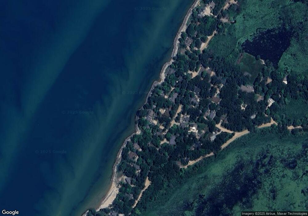
Map
Nearby Homes
- 5340 Notre Dame Ave Unit 96
- 7352 Red Arrow Hwy
- 5363 Red Arrow Hwy
- 5363 Red Arrow Highway Parcel B
- 5363 Red Arrow Highway Parcel C
- 5363 Hwy
- 0 Pine St
- 6399 Jericho Rd
- 3381 W Marquette Woods Rd
- 5477 Fairview St
- 5427 E Karen Ct
- 2600 Bell Cir
- 2949 Pagoda Path
- 2481 W John Beers Rd
- 2430 Ulrich Ln
- 6175 Lara Ln
- 6257 Lara Ln
- 2516 Heritage Way
- 2192 Pawnee Path
- 7230 Holden Rd
- 5896 Dunham Ln
- 5904 Dunham Ln
- 7410 Lake Solis Dr
- 7410 Lake Solis Dr Unit 23
- 7449 Lake Solis Dr
- 5876 Dunham Ave
- 5876 Dunham Path
- 5914 Dunham Ln
- 5909 Dunham Ave
- 10 Dunham Ave
- 5924 Dunham Ln
- 5888 Dunham Ave
- 5898 Dunham Ave
- 5910 Dunham Ave
- 5874 Dunham Ave
- 5918 Dunham Ave
- 5856 Dunham Ave
- 5901 Dunham Ave
- 4511 Lake St
- 5924 Dunham Ave