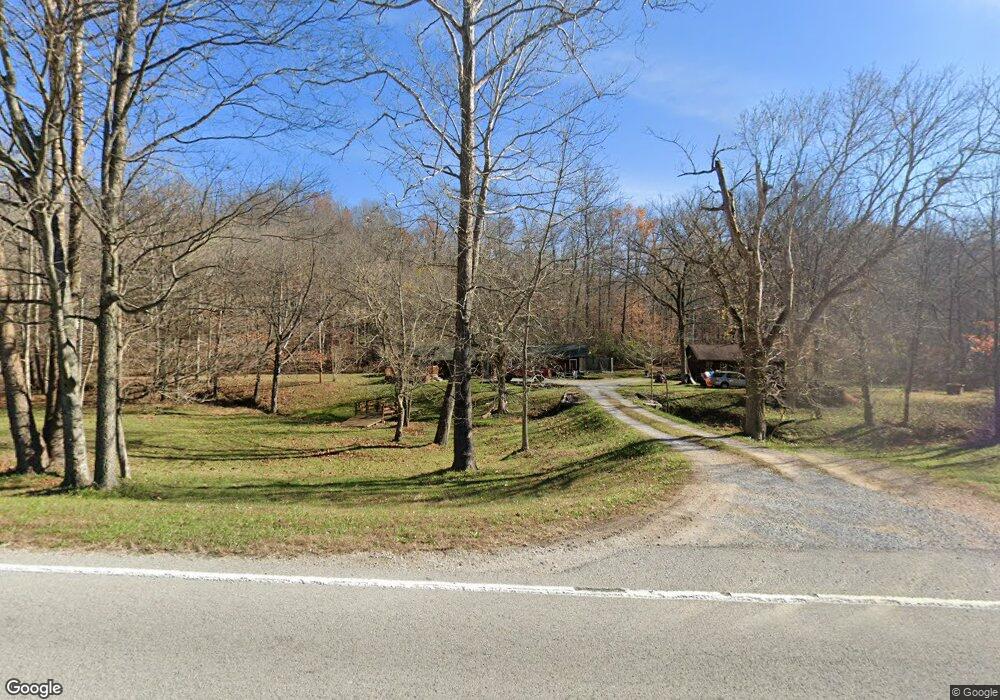
5896 Highway 127 Carbondale, IL 62903
Estimated Value: $116,000 - $285,000
1
Bed
--
Bath
1,766
Sq Ft
$116/Sq Ft
Est. Value
About This Home
This home is located at 5896 Highway 127, Carbondale, IL 62903 and is currently estimated at $203,996, approximately $115 per square foot. 5896 Highway 127 is a home located in Jackson County with nearby schools including Murphysboro High School.
Ownership History
Date
Name
Owned For
Owner Type
Purchase Details
Closed on
May 6, 2013
Sold by
Household Finance Corp Iii
Bought by
Ruiz Niguel
Current Estimated Value
Home Financials for this Owner
Home Financials are based on the most recent Mortgage that was taken out on this home.
Original Mortgage
$64,000
Interest Rate
6.25%
Mortgage Type
Purchase Money Mortgage
Purchase Details
Closed on
Dec 22, 2012
Sold by
Crisler Jeffrey
Bought by
Household Finance Corporation Iii
Purchase Details
Closed on
Dec 13, 2010
Sold by
Crisler Kaye M
Bought by
Cirsler Jeffrey
Create a Home Valuation Report for This Property
The Home Valuation Report is an in-depth analysis detailing your home's value as well as a comparison with similar homes in the area
Home Values in the Area
Average Home Value in this Area
Purchase History
| Date | Buyer | Sale Price | Title Company |
|---|---|---|---|
| Ruiz Niguel | $84,000 | None Available | |
| Household Finance Corporation Iii | -- | None Available | |
| Cirsler Jeffrey | -- | None Available |
Source: Public Records
Mortgage History
| Date | Status | Borrower | Loan Amount |
|---|---|---|---|
| Closed | Ruiz Niguel | $64,000 |
Source: Public Records
Tax History Compared to Growth
Tax History
| Year | Tax Paid | Tax Assessment Tax Assessment Total Assessment is a certain percentage of the fair market value that is determined by local assessors to be the total taxable value of land and additions on the property. | Land | Improvement |
|---|---|---|---|---|
| 2024 | $3,059 | $39,169 | $3,367 | $35,802 |
| 2023 | $2,828 | $34,843 | $2,995 | $31,848 |
| 2022 | $2,602 | $31,581 | $2,715 | $28,866 |
| 2021 | $2,541 | $30,358 | $2,610 | $27,748 |
| 2020 | $2,654 | $30,895 | $2,656 | $28,239 |
| 2019 | $2,433 | $30,358 | $2,610 | $27,748 |
| 2018 | $2,324 | $30,358 | $2,610 | $27,748 |
| 2017 | $2,345 | $30,358 | $2,610 | $27,748 |
| 2016 | $2,503 | $32,862 | $2,351 | $30,511 |
| 2015 | -- | $32,862 | $2,351 | $30,511 |
| 2014 | -- | $32,862 | $2,351 | $30,511 |
| 2012 | -- | $33,928 | $2,351 | $31,577 |
Source: Public Records
Map
Nearby Homes
- 6156 Chautauqua Rd
- Lot 22 Scotty Dr
- Lot 20 Scotty Dr
- 2723 Country Club Rd
- 2 N Jungle Rd
- 14 Egret Lake Rd
- 8384 Hickory Ridge Rd
- 50 Hawthorn Hollow Rd
- 0000 Iroquois Trail
- 00 May Apple Ln
- 221 Poplar Lake Rd
- 65 Hidden Trace Rd
- 141 Pump Station Rd
- 39 Community Ln
- 1034 Cedar Creek Rd
- 5435 Hickory Ridge Rd
- 3775 Ariel Dr
- 000 Ariel Dr
- 10 Bittersweet Ln
- 3725 Ariel Dr
- 5896 Illinois 127
- 220 Richmond Ridge Dr
- 48 Etherton Rd
- 5 Morber Ln
- 139 Padrone Ln
- 129 Richmond Ridge Dr
- 129 Richmond Ridge Dr
- 35 Morber Ln
- 69 Lloyds Hollow Rd
- 74 Etherton Rd
- 99 Padrone Ln
- 149 Drone Meadow Dr
- 70 Padrone Ln
- 1962 Grammer
- 1982 Grammer Rd
- 49 Drone Meadow Dr
- 392 Potato Patch Holler Rd
- 251 Etherton Rd
- 2416 Grammer Rd
- 558 Etherton Rd