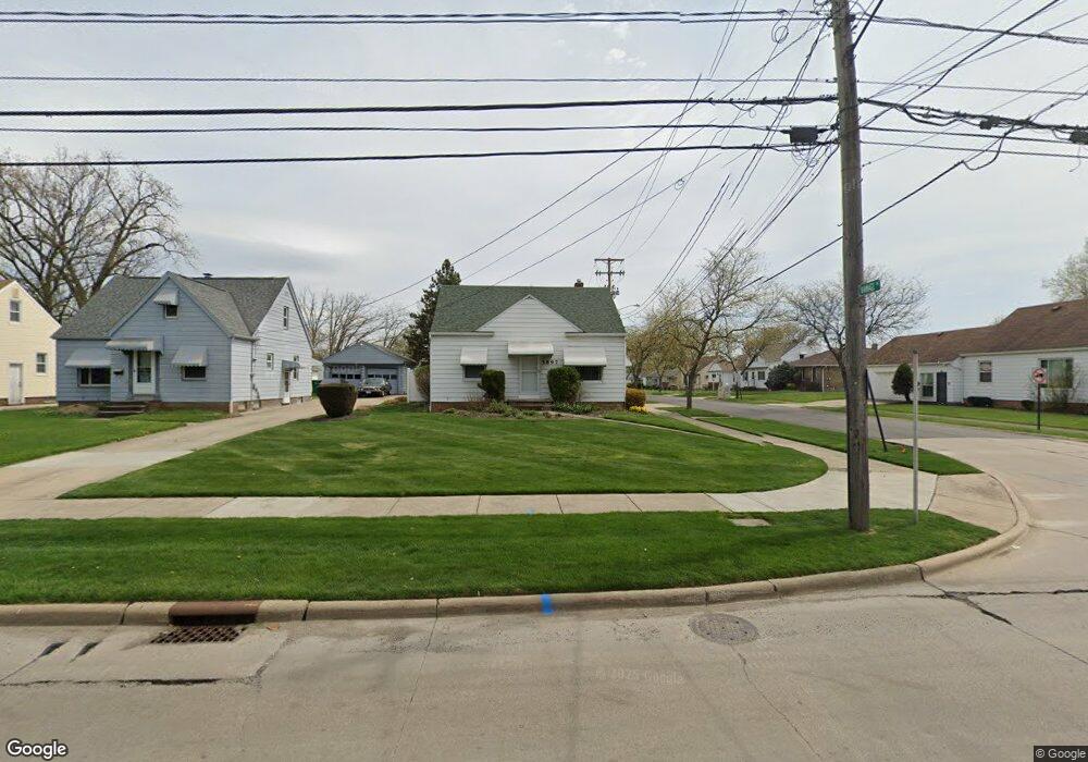
5897 Dunham Rd Maple Heights, OH 44137
Estimated Value: $133,000 - $168,000
3
Beds
1
Bath
1,092
Sq Ft
$133/Sq Ft
Est. Value
About This Home
This home is located at 5897 Dunham Rd, Maple Heights, OH 44137 and is currently estimated at $145,682, approximately $133 per square foot. 5897 Dunham Rd is a home located in Cuyahoga County with nearby schools including Abraham Lincoln Elementary School, Rockside/ J.F. Kennedy School, and Barack Obama School.
Ownership History
Date
Name
Owned For
Owner Type
Purchase Details
Closed on
Nov 18, 1997
Sold by
Johns Arthur V
Bought by
Mccullough Denise R
Current Estimated Value
Home Financials for this Owner
Home Financials are based on the most recent Mortgage that was taken out on this home.
Original Mortgage
$68,300
Outstanding Balance
$11,358
Interest Rate
7.43%
Mortgage Type
New Conventional
Estimated Equity
$134,324
Purchase Details
Closed on
Jul 24, 1986
Sold by
Helen Arthur V and Helen Johns
Bought by
Johns Arthur
Purchase Details
Closed on
Mar 5, 1980
Sold by
Johns Arthur V and Johns Helen
Bought by
Helen Arthur and Helen Johns
Purchase Details
Closed on
Jan 1, 1975
Bought by
Johns Arthur and Johns Helen
Create a Home Valuation Report for This Property
The Home Valuation Report is an in-depth analysis detailing your home's value as well as a comparison with similar homes in the area
Home Values in the Area
Average Home Value in this Area
Purchase History
| Date | Buyer | Sale Price | Title Company |
|---|---|---|---|
| Mccullough Denise R | $71,900 | -- | |
| Johns Arthur | -- | -- | |
| Helen Arthur | -- | -- | |
| Johns Arthur | -- | -- |
Source: Public Records
Mortgage History
| Date | Status | Borrower | Loan Amount |
|---|---|---|---|
| Open | Mccullough Denise R | $68,300 |
Source: Public Records
Tax History
| Year | Tax Paid | Tax Assessment Tax Assessment Total Assessment is a certain percentage of the fair market value that is determined by local assessors to be the total taxable value of land and additions on the property. | Land | Improvement |
|---|---|---|---|---|
| 2024 | $2,791 | $41,195 | $7,910 | $33,285 |
| 2023 | $1,721 | $25,140 | $6,060 | $19,080 |
| 2022 | $1,753 | $25,130 | $6,060 | $19,080 |
| 2021 | $1,868 | $25,130 | $6,060 | $19,080 |
| 2020 | $1,539 | $20,620 | $4,970 | $15,650 |
| 2019 | $1,526 | $58,900 | $14,200 | $44,700 |
| 2018 | $1,957 | $20,620 | $4,970 | $15,650 |
| 2017 | $2,461 | $19,290 | $4,380 | $14,910 |
| 2016 | $2,379 | $19,290 | $4,380 | $14,910 |
| 2015 | $2,262 | $19,290 | $4,380 | $14,910 |
| 2014 | $2,262 | $19,890 | $4,520 | $15,370 |
Source: Public Records
Map
Nearby Homes
- 14808 James Ave
- 15305 Steinway Blvd
- 16111 #A8 Maple Park Dr
- 6089 Dunham Rd
- 15803 Maplewood Ave
- 14509 Rockside Rd
- 15712 Morning Star Ave
- 14708 Brunswick Ave
- 14320 Janice Dr
- 14956 Carol Dr
- 15800 Northwood Ave
- 15701 Walvern Blvd
- 15800 Steinway Blvd
- 15817 Northwood Ave
- 15405 Turney Rd
- 14012 Wheeler Rd
- 14357 Turney Rd
- 14619 Tokay Ave
- 15522 Turney Rd
- 14214 Tabor Ave
- 5895 Dunham Rd
- 5891 Dunham Rd
- 5905 Dunham Rd
- 15205 Ramage Ave
- 5881 Dunham Rd
- 5911 Dunham Rd
- 15209 Ramage Ave
- 15204 Ramage Ave
- 15213 Ramage Ave
- 5915 Dunham Rd
- 15208 Ramage Ave
- 5896 Dunham Rd
- 15212 Ramage Ave
- 5882 Dunham Rd
- 5847 Dunham Rd
- 5927 Dunham Rd
- 5900 Dunham Rd
- 5884 Dunham Rd
- 15217 Ramage Ave
- 15216 Ramage Ave
Your Personal Tour Guide
Ask me questions while you tour the home.