5899 Old Highway 441 N Baldwin, GA 30511
Estimated Value: $358,000 - $2,332,017
3
Beds
1
Bath
1,600
Sq Ft
$841/Sq Ft
Est. Value
About This Home
This home is located at 5899 Old Highway 441 N, Baldwin, GA 30511 and is currently estimated at $1,345,009, approximately $840 per square foot. 5899 Old Highway 441 N is a home located in Banks County with nearby schools including Banks County Primary School, Banks County Elementary School, and Banks County Middle School.
Ownership History
Date
Name
Owned For
Owner Type
Purchase Details
Closed on
May 31, 2024
Sold by
Whitenton Richard Bryan
Bought by
Torch Inc
Current Estimated Value
Purchase Details
Closed on
Jun 26, 2023
Sold by
Fishers Of Men Inc
Bought by
Whitenton Richard Bryan
Purchase Details
Closed on
Nov 17, 2022
Sold by
Whitenton Richard Bryan
Bought by
Fishers Of Men Inc
Purchase Details
Closed on
Dec 3, 2020
Sold by
Fishers Of Men Inc
Bought by
Whitenton Bryan
Create a Home Valuation Report for This Property
The Home Valuation Report is an in-depth analysis detailing your home's value as well as a comparison with similar homes in the area
Home Values in the Area
Average Home Value in this Area
Purchase History
| Date | Buyer | Sale Price | Title Company |
|---|---|---|---|
| Torch Inc | $1,000,000 | -- | |
| Whitenton Richard Bryan | -- | -- | |
| Fishers Of Men Inc | -- | -- | |
| Fishers Of Men Inc | -- | -- | |
| Whitenton Bryan | -- | -- |
Source: Public Records
Tax History Compared to Growth
Tax History
| Year | Tax Paid | Tax Assessment Tax Assessment Total Assessment is a certain percentage of the fair market value that is determined by local assessors to be the total taxable value of land and additions on the property. | Land | Improvement |
|---|---|---|---|---|
| 2025 | $3,421 | $614,632 | $541,395 | $73,237 |
| 2024 | $8,135 | $846,028 | $547,499 | $298,529 |
| 2023 | $7,146 | $791,182 | $533,319 | $257,863 |
| 2022 | $7,356 | $611,890 | $369,804 | $242,086 |
| 2021 | $7,553 | $536,586 | $302,701 | $233,885 |
| 2020 | $12,153 | $530,011 | $299,853 | $230,158 |
| 2019 | $12,038 | $522,388 | $299,853 | $222,535 |
| 2018 | $0 | $485,625 | $299,853 | $185,772 |
| 2017 | $0 | $474,379 | $285,565 | $188,814 |
| 2016 | $0 | $466,533 | $285,565 | $180,968 |
| 2015 | -- | $466,533 | $285,565 | $180,968 |
| 2014 | -- | $736,780 | $555,812 | $180,968 |
| 2013 | -- | $736,780 | $555,812 | $180,968 |
Source: Public Records
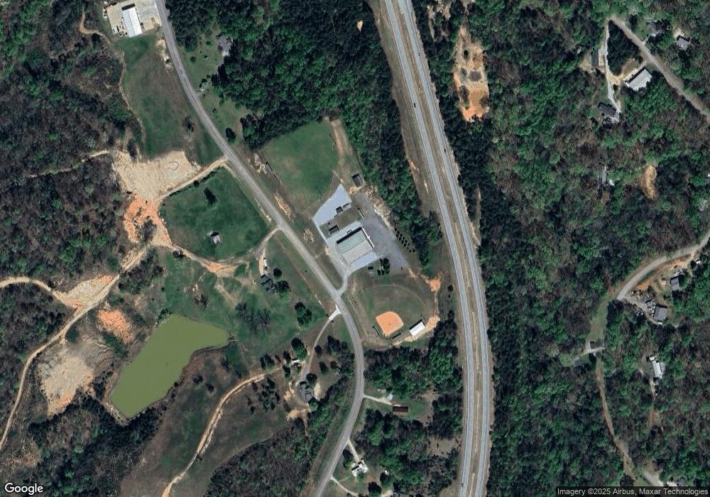
Map
Nearby Homes
- 0 Whippoorwill Terrace Unit 10552744
- 0 Whippoorwill Terrace Unit 7605702
- 382 Simmons Rd
- LOT 26 Whippoorwill Way
- 136 Lakeview Way
- 133 Lakeview Walk
- 01 Planters Pointe Dr
- 0 Planters Pointe Dr Unit 10636110
- 0 Planters Pointe Ln Unit 10620249
- 0 Planters Creek Dr Unit Lot 34 CM1024458
- 535 Otis Brown Rd
- 39 Planters Creek Dr
- 41 Planters Creek Dr
- 0 Sterling Dr Unit 10554788
- 600 Ivory Dr
- 2154 Apple Pie Ridge Rd
- 0 Soapstone Rd Unit 7646343
- 0 Soapstone Rd Unit 10600294
- 0 Baldwin Heights Rd Unit 10650492
- 111 Davison St
- 148 Whippoorwill Terrace
- 532 Whippoorwill Way
- 0 Whippoorwill Terrace Unit 10093265
- 0 Whippoorwill Terrace Unit 7117211
- 495 Whippoorwill Way
- 365 Simmons Rd
- 520 Whippoorwill Way
- 398 Simmons Rd
- 368 Simmons Rd
- 336 Simmons Rd
- 454 Whippoorwill Way
- 1003 Purvis Rd
- 168 Night Hawk Dr
- 315 Simmons Rd
- 276 Simmons Rd
- 477 Whippoorwill Way
- 306 Simmons Rd
- 289 Simmons Rd
- 971 Purvis Rd
- 125 Night Hawk Dr