Estimated Value: $442,000 - $835,000
3
Beds
3
Baths
2,658
Sq Ft
$247/Sq Ft
Est. Value
About This Home
This home is located at 58996 E 332 Rd, Jay, OK 74346 and is currently estimated at $655,867, approximately $246 per square foot. 58996 E 332 Rd is a home located in Delaware County with nearby schools including Grove Lower Elementary School, Grove Upper Elementary School, and Grove Middle School.
Ownership History
Date
Name
Owned For
Owner Type
Purchase Details
Closed on
May 19, 2023
Sold by
Hardridge Joe T and Hardridge Joy R
Bought by
Hardridge Family Revocable Trust
Current Estimated Value
Purchase Details
Closed on
Aug 26, 2020
Sold by
Spillers Mary Margaret
Bought by
Spillers Darrell and Revocable Living Trust Of Darrell Spille
Purchase Details
Closed on
Aug 25, 2020
Sold by
Spillers Darrell
Bought by
Hardridge Joe T and Hardridge Joy R
Purchase Details
Closed on
Mar 23, 2012
Sold by
Teehee Ida Suzanne
Bought by
Hardridge Joe T and Hardridge Joy R
Purchase Details
Closed on
Jun 10, 2011
Sold by
Teehee Suzanne
Create a Home Valuation Report for This Property
The Home Valuation Report is an in-depth analysis detailing your home's value as well as a comparison with similar homes in the area
Purchase History
| Date | Buyer | Sale Price | Title Company |
|---|---|---|---|
| Hardridge Family Revocable Trust | -- | None Listed On Document | |
| Spillers Darrell | -- | None Available | |
| Hardridge Joe T | -- | None Available | |
| Hardridge Joe T | $320,000 | Grand River Abstract & Title | |
| -- | -- | -- |
Source: Public Records
Tax History
| Year | Tax Paid | Tax Assessment Tax Assessment Total Assessment is a certain percentage of the fair market value that is determined by local assessors to be the total taxable value of land and additions on the property. | Land | Improvement |
|---|---|---|---|---|
| 2025 | $3,338 | $42,228 | $8,686 | $33,542 |
| 2024 | $3,239 | $40,998 | $8,433 | $32,565 |
| 2023 | $3,239 | $39,804 | $8,356 | $31,448 |
| 2022 | $3,143 | $38,646 | $8,338 | $30,308 |
| 2021 | $3,136 | $38,646 | $8,338 | $30,308 |
| 2020 | $3,189 | $38,646 | $8,338 | $30,308 |
| 2019 | $3,201 | $38,646 | $8,338 | $30,308 |
| 2018 | $3,195 | $38,646 | $8,338 | $30,308 |
| 2017 | $3,205 | $38,646 | $8,338 | $30,308 |
| 2016 | $3,203 | $38,646 | $8,338 | $30,308 |
| 2015 | $2,743 | $32,776 | $8,223 | $24,553 |
| 2014 | $2,756 | $32,776 | $8,223 | $24,553 |
Source: Public Records
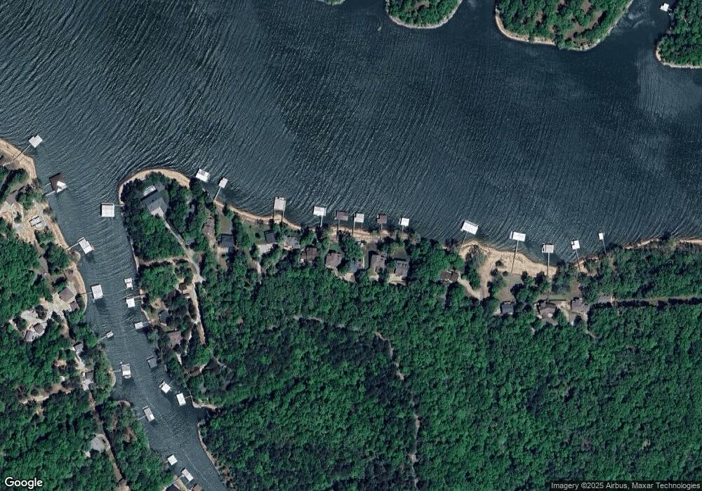
Map
Nearby Homes
- 58930 E 332 Rd
- 58990 E 332 Rd
- TBD E 325 (Parcel 6) Trail
- 59001 E 325 Ln
- 32981 S 597 Rd
- Tract 3 S 595 Rd
- Lot 14 Block 6 (Piney Woods) E 330 Loop
- Lot 14 Block 9 (Piney Woods) E 330 Loop
- Lot 15 Block 9 (Piney Woods) E 330 Loop
- Lot 13 Block 9 (Piney Woods) E 330 Loop
- Parcel 2 E 325 Ln
- Lot 13 Block 9(piney Woods)e 330 Loop
- Lot 11 Block 9 (Piney Woods) E 332 Loop
- Lot 12 Block 9 (Piney Woods) E 332 Loop
- Lot 15 Block 9(piney Woods)e 330 Loop
- 53490 E 332 Loop
- Lot 6 Block 7 (Piney Woods) E 330 Rd
- Lot 14 Block 9(piney Woods)e 330 Loop
- Lot 12 Block 9(piney Woods)e 332 Loop
- 59951 E 333 Rd
- 58880 E 332 Rd
- 58910 E 332 Rd
- 58958 E 332 Rd
- 58870 E 332 Rd
- 58856 E 332 Rd
- 58730 E 332 Rd
- 58850 E 332 Rd
- 58800 E 332 Rd
- 58998 E 332 Rd
- 33201 S 590 Rd
- 58681 E 332 Rd
- 58691 E 332 Rd
- 58701 E 332 Rd
- 59100 E 332 Rd
- 58685 E 332 Rd
- 59110 E 332 Rd
- 0 Lot 19 Tall Pine Points
- 0 Lot 21 Tall Pine Dr
- 33453 S 590 Rd
- 58700 E 336 Rd
Your Personal Tour Guide
Ask me questions while you tour the home.