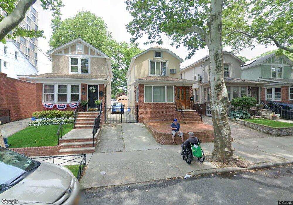
59 91st St Brooklyn, NY 11209
Fort Hamilton NeighborhoodEstimated Value: $1,199,000 - $1,555,000
--
Bed
--
Bath
1,376
Sq Ft
$1,012/Sq Ft
Est. Value
About This Home
This home is located at 59 91st St, Brooklyn, NY 11209 and is currently estimated at $1,392,409, approximately $1,011 per square foot. 59 91st St is a home located in Kings County with nearby schools including P.S. 185 Walter Kassenbrock, IS 201 Madeleine Brennan Intermediate School, and Fort Hamilton High School.
Ownership History
Date
Name
Owned For
Owner Type
Purchase Details
Closed on
Oct 31, 1996
Sold by
Moustapha Ghiath
Bought by
Alsawah Rihab
Current Estimated Value
Purchase Details
Closed on
Nov 16, 1995
Sold by
Carita Eilenn T
Bought by
Moustapha Ghiath and Moustapha Muyassar
Purchase Details
Closed on
Jun 6, 1995
Sold by
Carita Gerard A
Bought by
Carita Eileen T and Tynion Eileen
Create a Home Valuation Report for This Property
The Home Valuation Report is an in-depth analysis detailing your home's value as well as a comparison with similar homes in the area
Home Values in the Area
Average Home Value in this Area
Purchase History
| Date | Buyer | Sale Price | Title Company |
|---|---|---|---|
| Alsawah Rihab | -- | Commonwealth Land Title Ins | |
| Alsawah Rihab | -- | Commonwealth Land Title Ins | |
| Moustapha Ghiath | $280,000 | -- | |
| Moustapha Ghiath | $280,000 | -- | |
| Carita Eileen T | $16,500 | First American Title Ins Co | |
| Carita Eileen T | -- | First American Title Ins Co |
Source: Public Records
Tax History Compared to Growth
Tax History
| Year | Tax Paid | Tax Assessment Tax Assessment Total Assessment is a certain percentage of the fair market value that is determined by local assessors to be the total taxable value of land and additions on the property. | Land | Improvement |
|---|---|---|---|---|
| 2025 | $11,140 | $86,100 | $19,200 | $66,900 |
| 2024 | $11,140 | $92,520 | $19,200 | $73,320 |
| 2023 | $10,653 | $95,700 | $19,200 | $76,500 |
| 2022 | $9,956 | $88,020 | $19,200 | $68,820 |
| 2021 | $9,770 | $91,260 | $19,200 | $72,060 |
| 2020 | $9,770 | $68,520 | $19,200 | $49,320 |
| 2019 | $9,669 | $68,520 | $19,200 | $49,320 |
| 2018 | $8,911 | $43,712 | $13,727 | $29,985 |
| 2017 | $8,472 | $41,560 | $11,595 | $29,965 |
| 2016 | $7,879 | $39,412 | $13,304 | $26,108 |
| 2015 | $4,729 | $39,412 | $16,763 | $22,649 |
| 2014 | $4,729 | $38,517 | $14,121 | $24,396 |
Source: Public Records
Map
Nearby Homes
- 8942 Colonial Rd Unit 1R
- 8916 Shore Ct
- 2 Marine Ave Unit 1B
- 16 Colonial Gardens
- 13 Marine Ave
- 61 Oliver St Unit 2P
- 61 Oliver St Unit 2V
- 40 89th Unit 4F
- 40 89th Unit 2E
- 40 89th Unit 1A
- 9201 Shore Rd Unit C701
- 9201 Shore Rd Unit C403
- 9201 Shore Rd Unit D602
- 8901 Narrows Ave Unit 2G
- 20 89th St Unit 5C
- 35 Oliver St Unit 6-E
- 35 Oliver St Unit 1D
- 9255 Shore Rd Unit 6C
- 124 88th St
- 15 Oliver St Unit 3-C
- 63 91st St
- 55 91st St
- 53 91st St
- 67 91st St
- 8944 Colonial Rd
- 51 91st St
- 8950 Colonial Rd
- 8942 Colonial Rd
- 8942 Colonial Rd Unit 1F
- 8942 Colonial Rd Unit 3F
- 8942 Colonial Rd Unit 3R
- 8942 Colonial Rd Unit 2R
- 8942 Colonial Rd Unit 2F
- 8942 Colonial Rd Unit 2F
- 8942 Colonial Rd
- 8940 Colonial Rd
- 8940 Colonial Rd Unit 1
- 8940 Colonial Rd Unit 2
- 8940 Colonial Rd Unit 3
- 8936 Colonial Rd